Torrejón de Ardoz — Orea
Torrejón de Ardoz — Fuentes de León
Torrejón de Ardoz — Murchante
Torrejón de Ardoz — Viator
Torrejón de Ardoz — Ger
Torrejón de Ardoz — As Somozas
Torrejón de Ardoz — Puebla de Arenoso
Torrejón de Ardoz — Olloniego
Torrejón de Ardoz — Palma de Gandía
Torrejón de Ardoz — Las Navas de la Concepción
Torrejón de Ardoz — Valdemanco
Torrejón de Ardoz — Bolnuevo
Torrejón de Ardoz — Gera
Torrejón de Ardoz — San Fernando
Torrejón de Ardoz — Mallén
Torrejón de Ardoz — Mazcuerras
Torrejón de Ardoz — Lastres
Torrejón de Ardoz — Rus
Torrejón de Ardoz — Jerez del Marquesado
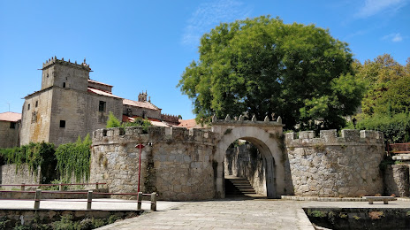
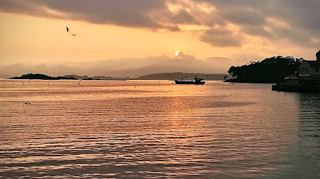
Torrejón de Ardoz — Vilagarcía de Arousa distance, route on the map
Distance by car
Distance between Torrejón de Ardoz, Comunidad de Madrid, Spain and Vilagarcía de Arousa, Galicia, Spain by car is — km, or miles. To travel this distance by car, you need minute, or h.
Route on the map, driving directions
Car route Torrejón de Ardoz — Vilagarcía de Arousa was created automatically. The road on the map is shown as a blue line. By moving the markers, you can create a new route through the points you need.
Distance by plane
If you decide to take a trip Torrejón de Ardoz Vilagarcía de Arousa by plane, then you have to fly the distance — 501 km or 311 miles. It is marked on the map with a gray line (between two points in a straight line).
Flight time
Estimated flight time Torrejón de Ardoz Vilagarcía de Arousa by plane at cruising speed 750 km / h will be — 40 min.
Direction of movement
Spain, Torrejón de Ardoz — right-hand traffic. Spain, Vilagarcía de Arousa — right-hand traffic.
Difference in time
Torrejón de Ardoz and Vilagarcía de Arousa are in the same time zone. Between them there is no time difference (UTC +2 Europe/Madrid).
Interesting Facts
Information on alternative ways to get to your destination.
The length of this distance is about 1.3% of the total length of the equator.
The percentage of the population is clearly shown in the graph:
Torrejón de Ardoz — 111,998, Vilagarcía de Arousa — 37,576 residents (less by 74,422).
The cost of travel
Calculate the cost of the trip yourself using the fuel consumption calculator, changing the data in the table.