 Quiché Department
Santa Rosa Department
Santo Tomás Milpas Altas
Santa Catalina la Tinta
Panzós
El Estor
Fray Bartolomé de las Casas
Playa Grande Ixcan
Senahú
Atescatempa
Chimaltenango
St. Lucia Utatlán
Punta Manabique
Todos Santos
Jalapa
Chiquimula
San Lucas Sacatepequez
Jutiapa
Chiquimula
Quiché Department
Santa Rosa Department
Santo Tomás Milpas Altas
Santa Catalina la Tinta
Panzós
El Estor
Fray Bartolomé de las Casas
Playa Grande Ixcan
Senahú
Atescatempa
Chimaltenango
St. Lucia Utatlán
Punta Manabique
Todos Santos
Jalapa
Chiquimula
San Lucas Sacatepequez
Jutiapa
Chiquimula
Totonicapan on the map, Guatemala
Where is located Totonicapan
Exact location — Totonicapan, Totonicapan, Guatemala, marked on the map with a red marker.
Coordinates
Totonicapan, Guatemala coordinates in decimal format: latitude — 14.9173402, longitude — -91.3613923. When converted to degrees, minutes, seconds Totonicapan has the following coordinates: 14°55′2.42 north latitude and -91°21′41.01 east longitude.
Population
Totonicapan, Totonicapan, Guatemala, according to our data the population is — 69,734 residents, which is about 0.4% of the total population of the country (Guatemala).
Comparison of the population on the graph:
Exact time
Time zone for this location Totonicapan — UTC -6 America/Guatemala. Exact time — saturday, 4 april 2024 year, 03 h. 33 minutes.
Sunrise and sunset
Totonicapan, sunrise and sunset data for a date — saturday 27.04.2024.
| Sunrise | Sunset | Day (duration) |
|---|---|---|
| 05:46 -0 minutes | 18:19 -0 minutes | 12 h. 36 minutes. -0 minutes |
You can control the scale of the map using the auxiliary tools to find out exactly where it is located Totonicapan. When you change the scale of the map, the width of the ruler also changes (in kilometers and miles).
Nearby cities
The largest cities that are located nearby:
- Quetzaltenango — 19 km
- San Juan Sacatepéquez — 80 km
- Escuintla — 92 km
- Villa Nueva — 93 km
- Tapachula
 (Mexico) — 96 km
 - Villa Canales — 103 km
- Santa Ana
 (El Salvador) — 219 km
 - San Cristóbal de las Casas (Mexico) — 242 km
- Santa Tecla (El Salvador) — 261 km
- Apopa (El Salvador) — 264 km
- Mejicanos (El Salvador) — 265 km
- San Salvador (El Salvador) — 267 km
- Soyapango (El Salvador) — 274 km
- Tuxtla Gutiérrez (Mexico) — 274 km
- San Pedro Sula
 (Honduras) — 360 km
 - Choloma (Honduras) — 372 km
- San Miguel (El Salvador) — 377 km
- Villahermosa (Mexico) — 378 km
- El Progreso (Honduras) — 383 km
Distance to neighboring capitals:
- San Salvador (El Salvador) — 268 km
- Belmopan
 (Belize) — 380 km
 - Tegucigalpa (Honduras) — 456 km
- Managua
 (Nicaragua) — 633 km
 - Mexico City (Mexico) — 966 km
- Washington
 (United States) — 3014 km
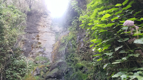
Attractions
Distance to the capital
Distance to the capital (Guatemala City) is about — 95 km.