
 Szydłowo
Damasławek
Gołańcz
Świerklaniec
Strumień
Jarocin
Pasłęk
Poniatowa
Gózd
Międzybórz
Malczyce
Brzeziny
Nysa
Skoroszyce
Radziejow
Stawiski
Radziłów
Buczkowice
Wąwolnica
Szydłowo
Damasławek
Gołańcz
Świerklaniec
Strumień
Jarocin
Pasłęk
Poniatowa
Gózd
Międzybórz
Malczyce
Brzeziny
Nysa
Skoroszyce
Radziejow
Stawiski
Radziłów
Buczkowice
Wąwolnica
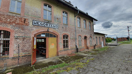
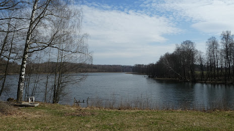
Węgorzewo on the map, Poland
Where is located Węgorzewo
Exact location — Węgorzewo, Węgorzewo County, Warmian-Masurian Voivodeship, Poland, marked on the map with a red marker.
Coordinates
Węgorzewo, Poland coordinates in decimal format: latitude — 54.21359, longitude — 21.7416301. When converted to degrees, minutes, seconds Węgorzewo has the following coordinates: 54°12′48.92 north latitude and 21°44′29.87 east longitude.
Population
Węgorzewo, Węgorzewo County, Warmian-Masurian Voivodeship, Poland, according to our data the population is — 11,864 residents, which is about 0% of the total population of the country (Poland).
Comparison of the population on the graph:
Exact time
Time zone for this location Węgorzewo — UTC +2 Europe/Warsaw. Exact time — tuesday, 5 may 2024 year, 23 h. 44 minutes.
Sunrise and sunset
Węgorzewo, sunrise and sunset data for a date — tuesday 14.05.2024.
| Sunrise | Sunset | Day (duration) |
|---|---|---|
| 04:34 -2 minutes | 20:24 +2 minutes | 15 h. 48 minutes. +4 minutes |
You can control the scale of the map using the auxiliary tools to find out exactly where it is located Węgorzewo. When you change the scale of the map, the width of the ruler also changes (in kilometers and miles).
Nearby cities
The largest cities that are located nearby:
- Olsztyn — 95 km
- Kaliningrad
 (Russia) — 96 km
 - Elblag — 151 km
- Bialystok — 152 km
- Kaunas
 (Lithuania) — 157 km
 - Klaipėda (Lithuania) — 169 km
- Gdańsk — 200 km
- Gdynia — 209 km
- Šiauliai (Lithuania) — 214 km
- Plock — 230 km
- Vilnius (Lithuania) — 232 km
- Panevėžys (Lithuania) — 234 km
- Torun — 248 km
- Wloclawek — 249 km
- Brest
 (Belarus) — 270 km
 - Bydgoszcz — 275 km
- Baranovichi (Belarus) — 308 km
- Łódź — 313 km
- Radom — 313 km
Distance to neighboring capitals:
- Vilnius (Lithuania) — 235 km
- Rīga
 (Latvia) — 339 km
 - Minsk (Belarus) — 381 km
- Berlin
 (Germany) — 584 km
 - Copenhagen
 (Denmark) — 608 km
 - Prague
 (Czech Republic) — 678 km
 - Helsinki
 (Finland) — 690 km
 - Kyiv
 (Ukraine) — 728 km
 - Bratislava
 (Slovakia) — 748 km
 - Vienna
 (Austria) — 765 km
 - Budapest
 (Hungary) — 771 km
 - Moscow (Russia) — 1025 km
- Belgrade
 (Serbia) — 1053 km
 - Bucharest
 (Romania) — 1133 km
 - Amsterdam
 (Netherlands) — 1136 km
 - Bern
 (Switzerland) — 1289 km
 - Paris
 (France) — 1462 km
 - Tbilisi
 (Georgia) — 2191 km
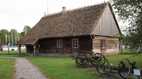
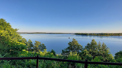
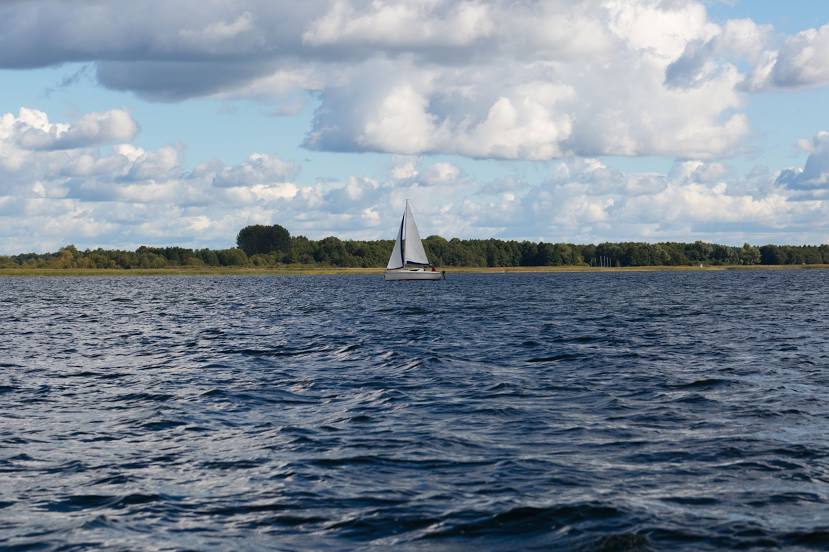
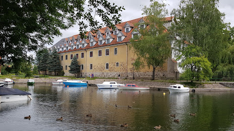
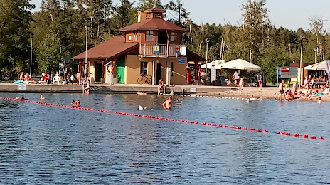
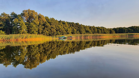
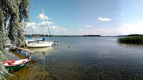
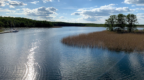
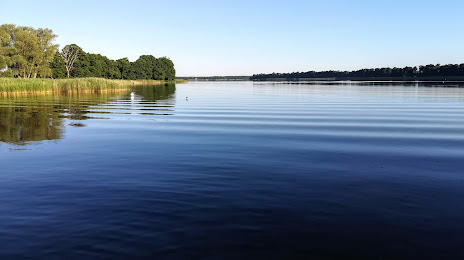
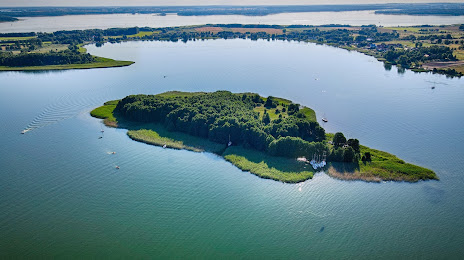
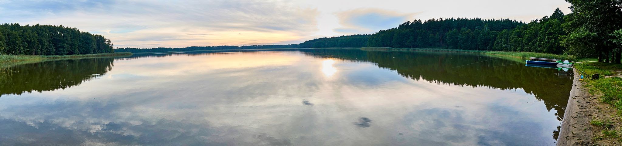
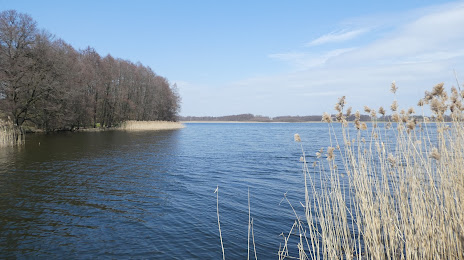
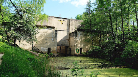
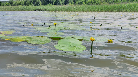
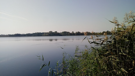
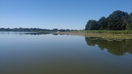
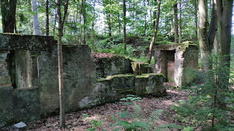
Attractions

Distance to the capital
Distance to the capital (Warsaw) is about — 226 km.