
 Świerklaniec
Strumień
Jarocin
Pasłęk
Poniatowa
Gózd
Prusice
Nowy Wiśnicz
Manowo
Czerniewice
Wołczyn
Żórawina
Międzybórz
Malczyce
Brzeziny
Nysa
Skoroszyce
Radziejow
Stawiski
Świerklaniec
Strumień
Jarocin
Pasłęk
Poniatowa
Gózd
Prusice
Nowy Wiśnicz
Manowo
Czerniewice
Wołczyn
Żórawina
Międzybórz
Malczyce
Brzeziny
Nysa
Skoroszyce
Radziejow
Stawiski
Łapy on the map, Poland
Where is located Łapy
Exact location — Łapy, białostocki, Podlaskie Voivodeship, Poland, marked on the map with a red marker.
Coordinates
Łapy, Poland coordinates in decimal format: latitude — 52.9912947, longitude — 22.8843128. When converted to degrees, minutes, seconds Łapy has the following coordinates: 52°59′28.66 north latitude and 22°53′3.53 east longitude.
Population
Łapy, białostocki, Podlaskie Voivodeship, Poland, according to our data the population is — 16,434 residents, which is about 0% of the total population of the country (Poland).
Comparison of the population on the graph:
Exact time
Time zone for this location Łapy — UTC +2 Europe/Warsaw. Exact time — thursday, 5 may 2024 year, 01 h. 02 minutes.
Sunrise and sunset
Łapy, sunrise and sunset data for a date — thursday 2.05.2024.
| Sunrise | Sunset | Day (duration) |
|---|---|---|
| 04:56 -2 minutes | 19:54 +2 minutes | 15 h. 0 minutes. +4 minutes |
You can control the scale of the map using the auxiliary tools to find out exactly where it is located Łapy. When you change the scale of the map, the width of the ruler also changes (in kilometers and miles).
Nearby cities
The largest cities that are located nearby:
- Bialystok — 24 km
- Brest
 (Belarus) — 114 km
 - Olsztyn — 180 km
- Lublin — 194 km
- Baranovichi (Belarus) — 208 km
- Radom — 213 km
- Plock — 219 km
- Kaunas
 (Lithuania) — 221 km
 - Pinsk (Belarus) — 237 km
- Vilnius (Lithuania) — 242 km
- Kaliningrad
 (Russia) — 243 km
 - Wloclawek — 259 km
- Elblag — 260 km
- Łódź — 271 km
- Kielce — 283 km
- Torun — 285 km
- Maladzyechna (Belarus) — 294 km
- Gdańsk — 312 km
- Salihorsk (Belarus) — 312 km
Distance to neighboring capitals:
- Vilnius (Lithuania) — 246 km
- Minsk (Belarus) — 326 km
- Rīga
 (Latvia) — 447 km
 - Kyiv
 (Ukraine) — 597 km
 - Berlin
 (Germany) — 640 km
 - Prague
 (Czech Republic) — 668 km
 - Budapest
 (Hungary) — 669 km
 - Bratislava
 (Slovakia) — 676 km
 - Vienna
 (Austria) — 702 km
 - Copenhagen
 (Denmark) — 732 km
 - Helsinki
 (Finland) — 809 km
 - Belgrade
 (Serbia) — 930 km
 - Bucharest
 (Romania) — 981 km
 - Moscow (Russia) — 1001 km
- Amsterdam
 (Netherlands) — 1212 km
 - Bern
 (Switzerland) — 1289 km
 - Paris
 (France) — 1505 km
 - Tbilisi
 (Georgia) — 2059 km
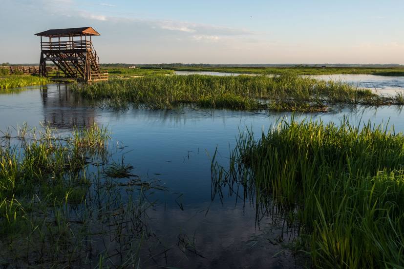
Attractions
Distance to the capital
Distance to the capital (Warsaw) is about — 152 km.