
 Saint-Omer
Résidence Font du Roy
Lacoste
Sérignan Plage
Landes
Nonaville
Toules
Patay
Ingré
Uckange
Anor
La Bohalle
Sées
Roppenheim
Arnay-sous-Vitteaux
Bages
Colombières
Centre-Val de Loire
Trieux
Saint-Omer
Résidence Font du Roy
Lacoste
Sérignan Plage
Landes
Nonaville
Toules
Patay
Ingré
Uckange
Anor
La Bohalle
Sées
Roppenheim
Arnay-sous-Vitteaux
Bages
Colombières
Centre-Val de Loire
Trieux
Sartrouville on the map, France
Where is located Sartrouville
Exact location — Sartrouville, Yvelines, Île-de-France, France, marked on the map with a red marker.
Coordinates
Sartrouville, France coordinates in decimal format: latitude — 48.941106, longitude — 2.158431. When converted to degrees, minutes, seconds Sartrouville has the following coordinates: 48°56′27.98 north latitude and 2°9′30.35 east longitude.
Population
Sartrouville, Yvelines, Île-de-France, France, according to our data the population is — 53,980 residents, which is about 0.1% of the total population of the country (France).
Comparison of the population on the graph:
Exact time
Time zone for this location Sartrouville — UTC +2 Europe/Paris. Exact time — saturday, 5 may 2024 year, 13 h. 27 minutes.
Sunrise and sunset
Sartrouville, sunrise and sunset data for a date — saturday 11.05.2024.
| Sunrise | Sunset | Day (duration) |
|---|---|---|
| 06:17 -2 minutes | 21:17 +1 minute | 15 h. 0 minutes. +3 minutes |
You can control the scale of the map using the auxiliary tools to find out exactly where it is located Sartrouville. When you change the scale of the map, the width of the ruler also changes (in kilometers and miles).
Nearby cities
The largest cities that are located nearby:
- Boulogne-Billancourt — 13 km
- Rouen — 94 km
- Amiens — 106 km
- Orléans — 116 km
- Reims — 140 km
- Le Havre — 159 km
- Le Mans — 178 km
- Caen — 185 km
- Lille — 197 km
- Tours — 204 km
- Charleroi
 (Belgium) — 229 km
 - Eastbourne
 (United Kingdom) — 241 km
 - Namur (Belgium) — 255 km
- Angers — 260 km
- Brussels (Belgium) — 261 km
- Dijon — 281 km
- Crawley (United Kingdom) — 290 km
- Metz — 291 km
- Gillingham (United Kingdom) — 292 km
Distance to neighboring capitals:
- Brussels (Belgium) — 264 km
- London (United Kingdom) — 329 km
- Amsterdam
 (Netherlands) — 427 km
 - Bern
 (Switzerland) — 452 km
 - Vaduz
 (Liechtenstein) — 583 km
 - Andorra la Vella
 (Andorra) — 717 km
 - Berlin
 (Germany) — 885 km
 - Prague
 (Czech Republic) — 895 km
 - Copenhagen
 (Denmark) — 1029 km
 - Vienna
 (Austria) — 1048 km
 - Madrid
 (Spain) — 1055 km
 - Rome
 (Italy) — 1122 km
 - Warsaw
 (Poland) — 1376 km
 - Lisbon
 (Portugal) — 1451 km
 - Nicosia
 — 2967 km
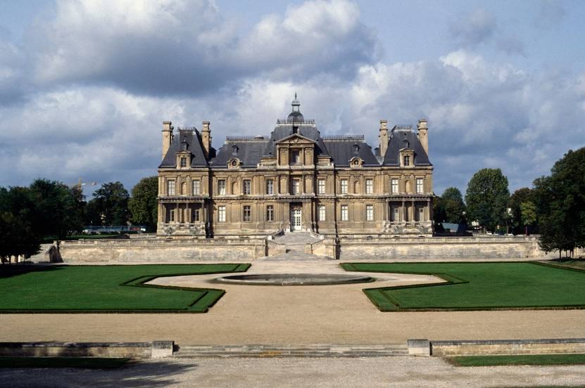
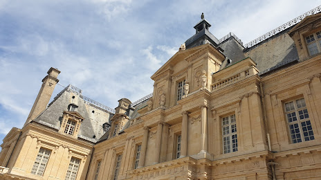
Attractions
Distance to the capital
Distance to the capital (Paris) is about — 17 km.