Santa María Rayón — Praderas de San Mateo
Santa María Rayón — San Martín de Bolaños
Santa María Rayón — Acapulco International Airport
Santa María Rayón — Colonia Benito García
Santa María Rayón — Guadalupe
Santa María Rayón — Santa Cruz de Juventino Rosas
Santa María Rayón — Salto de Agua
Santa María Rayón — Tultepec
Santa María Rayón — Benito Juárez
Santa María Rayón — Mazunte
Santa María Rayón — El Cabezón
Santa María Rayón — Almoloya de Alquisiras
Santa María Rayón — Villa Progreso
Santa María Rayón — El Sol
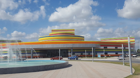
Santa María Rayón — General Servando Canales International Airport
Santa María Rayón — Cintalapa
Santa María Rayón — El Chanal
Santa María Rayón — Esteros
Santa María Rayón — Los Mochis
Santa María Rayón — Praderas de San Mateo
Santa María Rayón — San Martín de Bolaños
Santa María Rayón — Acapulco International Airport
Santa María Rayón — Colonia Benito García
Santa María Rayón — Guadalupe
Santa María Rayón — Santa Cruz de Juventino Rosas
Santa María Rayón — Salto de Agua
Santa María Rayón — Tultepec
Santa María Rayón — Benito Juárez
Santa María Rayón — Mazunte
Santa María Rayón — El Cabezón
Santa María Rayón — Almoloya de Alquisiras
Santa María Rayón — Villa Progreso
Santa María Rayón — El Sol
Santa María Rayón — General Servando Canales International Airport
Santa María Rayón — Cintalapa
Santa María Rayón — El Chanal
Santa María Rayón — Esteros
Santa María Rayón — Los Mochis
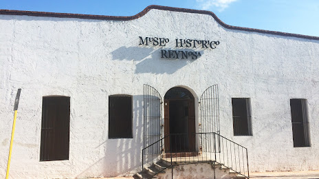
Santa María Rayón — Reynosa distance, route on the map
Distance by car
Distance between Santa María Rayón, Estado de México, Mexico and Reynosa, Tamaulipas, Mexico by car is — km, or miles. To travel this distance by car, you need minute, or h.
Route on the map, driving directions
Car route Santa María Rayón — Reynosa was created automatically. The road on the map is shown as a blue line. By moving the markers, you can create a new route through the points you need.
Distance by plane
If you decide to take a trip Santa María Rayón Reynosa by plane, then you have to fly the distance — 784 km or 486 miles. It is marked on the map with a gray line (between two points in a straight line).
Flight time
Estimated flight time Santa María Rayón Reynosa by plane at cruising speed 750 km / h will be — 1 h. and 2 min.
Direction of movement
Mexico, Santa María Rayón — right-hand traffic. Mexico, Reynosa — right-hand traffic.
Difference in time
Santa María Rayón and Reynosa are in different time zones. The time difference is 1 hour (UTC -6 America/Mexico_City, UTC -5 America/Chicago).
Interesting Facts
Information on alternative ways to get to your destination.
The length of this distance is about 2.0% of the total length of the equator.
The percentage of the population is clearly shown in the graph:
Santa María Rayón — 7,445 (less by 491,225), Reynosa — 498,670 residents.
The cost of travel
Calculate the cost of the trip yourself using the fuel consumption calculator, changing the data in the table.