Kaysville — Malta Airport
Kaysville — Rothschild
Kaysville — Tumwater
Kaysville — East Millsboro
Kaysville — Warwick
Kaysville — Orange Grove
Kaysville — Freeport
Kaysville — Florette
Kaysville — Tiptonville
Kaysville — Lake George
Kaysville — Plattsburgh
Kaysville — Waverly
Kaysville — Marengo
Kaysville — Saint George
Kaysville — Albin
Kaysville — Norborne
Kaysville — Chardon
Kaysville — Delta County
Kaysville — Skowhegan
Bountiful
Woods Cross
North Salt Lake
Red Lion-Sheraton Hotel Heliport
Salt Lake City
Salt Lake City
Murray
Salt Lake City
Midvale
South Jordan
Draper
Bluffdale
Lehi
Lehi
American Fork
Lindon
Orem
Provo
Springville
Spanish Fork
Payson
Santaquin
Mona
Nephi
Levan
Scipio
Meadow
Kanosh
Panguitch
Orderville
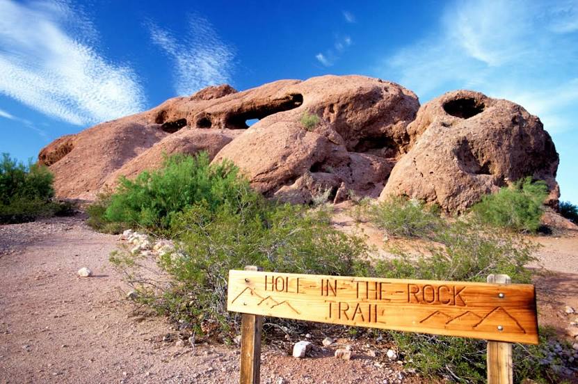
Kanab
Big Water
Page
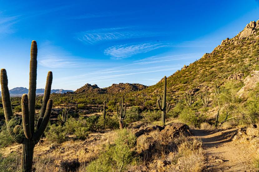
Gray Mountain
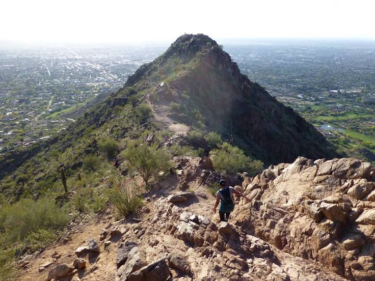
Flagstaff
Munds Park
Lake Montezuma
Camp Verde
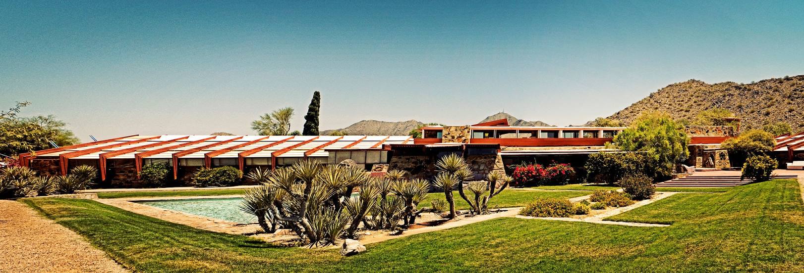
Paradise Valley
Kaysville — Malta Airport
Kaysville — Rothschild
Kaysville — Tumwater
Kaysville — East Millsboro
Kaysville — Warwick
Kaysville — Orange Grove
Kaysville — Freeport
Kaysville — Florette
Kaysville — Tiptonville
Kaysville — Lake George
Kaysville — Plattsburgh
Kaysville — Waverly
Kaysville — Marengo
Kaysville — Saint George
Kaysville — Albin
Kaysville — Norborne
Kaysville — Chardon
Kaysville — Delta County
Kaysville — Skowhegan
Bountiful
Woods Cross
North Salt Lake
Red Lion-Sheraton Hotel Heliport
Salt Lake City
Salt Lake City
Murray
Salt Lake City
Midvale
South Jordan
Draper
Bluffdale
Lehi
Lehi
American Fork
Lindon
Orem
Provo
Springville
Spanish Fork
Payson
Santaquin
Mona
Nephi
Levan
Scipio
Meadow
Kanosh
Panguitch
Orderville
Kanab
Big Water
Page
Gray Mountain
Flagstaff
Munds Park
Lake Montezuma
Camp Verde
Paradise Valley
Kaysville — Scottsdale distance, route on the map
Distance by car
Distance between Kaysville, Utah, United States and Scottsdale, Arizona, United States by car is — km, or miles. To travel this distance by car, you need minute, or h.
Route on the map, driving directions
Car route Kaysville — Scottsdale was created automatically. The road on the map is shown as a blue line. By moving the markers, you can create a new route through the points you need.
Passing cities through which the car route passes: Centerville, Bountiful, Woods Cross, North Salt Lake, Red Lion-Sheraton Hotel Heliport, Salt Lake City, Salt Lake City, Murray, Salt Lake City, Midvale, South Jordan, Draper, Bluffdale, Lehi, Lehi, American Fork, Lindon, Orem, Provo, Springville, Spanish Fork, Payson, Santaquin, Mona, Nephi, Levan, Scipio, Meadow, Kanosh, Panguitch, Orderville, Kanab, Big Water, Page, Gray Mountain, Flagstaff, Munds Park, Lake Montezuma, Camp Verde, Paradise Valley.
Distance by plane
If you decide to take a trip Kaysville Scottsdale by plane, then you have to fly the distance — 839 km or 520 miles. It is marked on the map with a gray line (between two points in a straight line).
Flight time
Estimated flight time Kaysville Scottsdale by plane at cruising speed 750 km / h will be — 1 h. and 7 min.
Direction of movement
United States, Kaysville — right-hand traffic. United States, Scottsdale — right-hand traffic.
Difference in time
Kaysville and Scottsdale are in different time zones. The time difference is 1 hour (UTC -6 America/Denver, UTC -7 America/Phoenix).
Interesting Facts
Information on alternative ways to get to your destination.
The length of this distance is about 2.1% of the total length of the equator.
The percentage of the population is clearly shown in the graph:
Kaysville — 27,300 (less by 198,496), Scottsdale — 225,796 residents.
The cost of travel
Calculate the cost of the trip yourself using the fuel consumption calculator, changing the data in the table.