Esteiro — Acequias
Esteiro — La Zoma
Esteiro — Covarrubias
Esteiro — Villardompardo
Esteiro — Rielves
Esteiro — Osa de la Vega
Esteiro — Casas de Ves
Esteiro — La Felguera
Esteiro — Molinicos
Esteiro — Esfarrapada
Esteiro — Vertavillo
Esteiro — Quintanilla de Onsoña
Esteiro — Tavertet
Esteiro — Villanueva de Sigena
Esteiro — Muñique
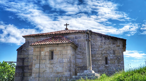
Esteiro — Cariño
Esteiro — Fuenmayor
Esteiro — Rasquera
Esteiro — Las Médulas
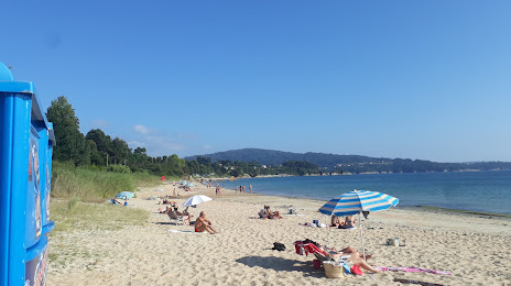
Outes
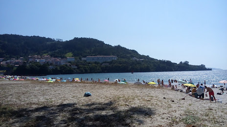
Lousame
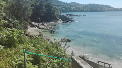
Rois
Brión
Santiago de Compostela
Lavacolla
Sigüeiro
Ordes
Mesía
Abegondo
Beldoña
Cecebre
Bergondo
Miño
Esteiro — Acequias
Esteiro — La Zoma
Esteiro — Covarrubias
Esteiro — Villardompardo
Esteiro — Rielves
Esteiro — Osa de la Vega
Esteiro — Casas de Ves
Esteiro — La Felguera
Esteiro — Molinicos
Esteiro — Esfarrapada
Esteiro — Vertavillo
Esteiro — Quintanilla de Onsoña
Esteiro — Tavertet
Esteiro — Villanueva de Sigena
Esteiro — Muñique
Esteiro — Cariño
Esteiro — Fuenmayor
Esteiro — Rasquera
Esteiro — Las Médulas
Outes
Lousame
Rois
Brión
Santiago de Compostela
Lavacolla
Sigüeiro
Ordes
Mesía
Abegondo
Beldoña
Cecebre
Bergondo
Miño
Esteiro — Fene distance, route on the map
Distance by car
Distance between Esteiro, Galicia, Spain and Fene, Galicia, Spain by car is — km, or miles. To travel this distance by car, you need minute, or h.
Route on the map, driving directions
Car route Esteiro — Fene was created automatically. The road on the map is shown as a blue line. By moving the markers, you can create a new route through the points you need.
Passing cities through which the car route passes: O Freixo de Sabardes, Outes, Lousame, Rois, Brión, Santiago de Compostela, Lavacolla, Sigüeiro, Ordes, Mesía, Abegondo, Beldoña, Cecebre, Bergondo, Miño.
Distance by plane
If you decide to take a trip Esteiro Fene by plane, then you have to fly the distance — 101 km or 63 miles. It is marked on the map with a gray line (between two points in a straight line).
Flight time
Estimated flight time Esteiro Fene by plane at cruising speed 750 km / h will be — 8 min.
Direction of movement
Spain, Esteiro — right-hand traffic. Spain, Fene — right-hand traffic.
Difference in time
Esteiro and Fene are in the same time zone. Between them there is no time difference (UTC +2 Europe/Madrid).
Interesting Facts
Information on alternative ways to get to your destination.
The length of this distance is about 0.3% of the total length of the equator.
The cost of travel
Calculate the cost of the trip yourself using the fuel consumption calculator, changing the data in the table.