Rio Claro — Tamboara
Rio Claro — Santa Cecília
Rio Claro — Mendes
Rio Claro — Acopiara
Rio Claro — Dionísio Cerqueira
Rio Claro — Itaitinga
Rio Claro — Prado
Rio Claro — Presidente Prudente
Rio Claro — Jaguarão
Rio Claro — Ji-Paraná
Rio Claro — Taiúva
Rio Claro — Alegrete
Rio Claro — Guaçuí
Rio Claro — Colniza
Rio Claro — Iporá
Rio Claro — Concórdia
Rio Claro — Nova Londrina
Rio Claro — Piquete
Rio Claro — Oliveira
Cordeirópolis
Limeira
Americana
Jardim Thelja
Nova Odessa
Sumaré
Hortolândia
Campinas
Sousas
Itatiba
Jarinu
Atibaia
Bom Jesus dos Perdões
Nazaré Paulista
Igaratá
Jacareí
Guararema
Aeroporto Internacional de São José dos Campos - Professor Urbano Ernesto
Jambeiro
Paraibuna
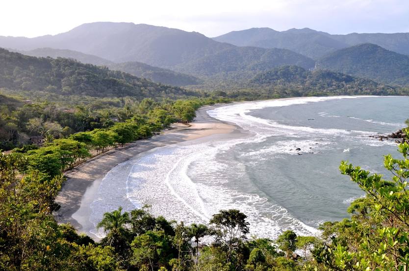
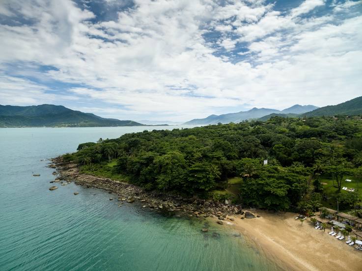
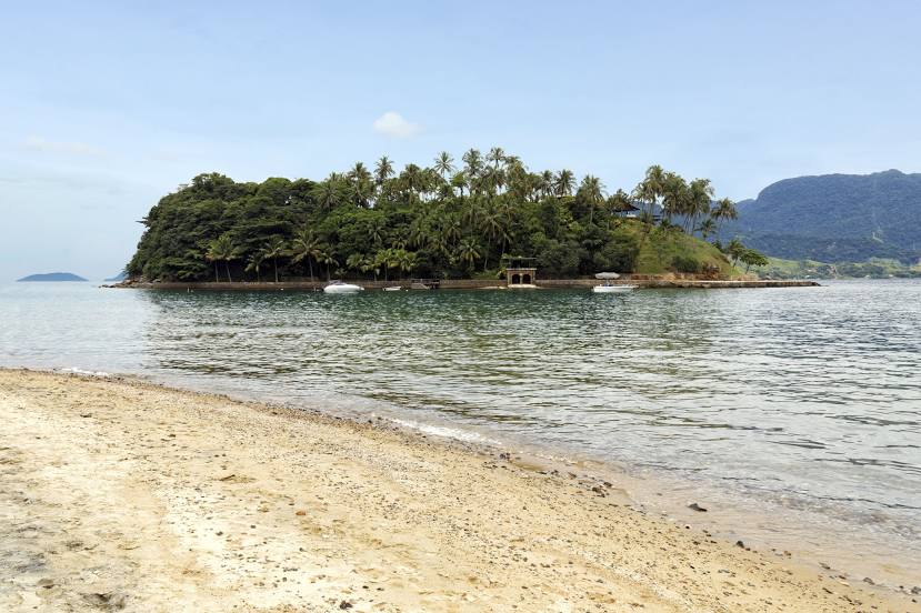
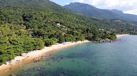
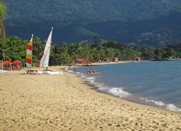
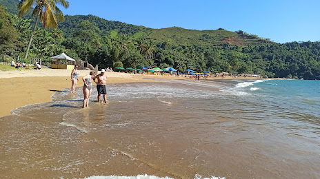
São Sebastião
São Sebastião
Rio Claro — Tamboara
Rio Claro — Santa Cecília
Rio Claro — Mendes
Rio Claro — Acopiara
Rio Claro — Dionísio Cerqueira
Rio Claro — Itaitinga
Rio Claro — Prado
Rio Claro — Presidente Prudente
Rio Claro — Jaguarão
Rio Claro — Ji-Paraná
Rio Claro — Taiúva
Rio Claro — Alegrete
Rio Claro — Guaçuí
Rio Claro — Colniza
Rio Claro — Iporá
Rio Claro — Concórdia
Rio Claro — Nova Londrina
Rio Claro — Piquete
Rio Claro — Oliveira
Cordeirópolis
Limeira
Americana
Jardim Thelja
Nova Odessa
Sumaré
Hortolândia
Campinas
Sousas
Itatiba
Jarinu
Atibaia
Bom Jesus dos Perdões
Nazaré Paulista
Igaratá
Jacareí
Guararema
Aeroporto Internacional de São José dos Campos - Professor Urbano Ernesto
Jambeiro
Paraibuna
São Sebastião
São Sebastião
Rio Claro — Ilhabela distance, route on the map
Distance by car
Distance between Rio Claro, São Paulo, Brazil and Ilhabela, São Paulo, Brazil by car is — km, or miles. To travel this distance by car, you need minute, or h.
Route on the map, driving directions
Car route Rio Claro — Ilhabela was created automatically. The road on the map is shown as a blue line. By moving the markers, you can create a new route through the points you need.
Passing cities through which the car route passes: Santa Gertrudes, Cordeirópolis, Limeira, Americana, Jardim Thelja, Nova Odessa, Sumaré, Hortolândia, Campinas, Sousas, Itatiba, Jarinu, Atibaia, Bom Jesus dos Perdões, Nazaré Paulista, Igaratá, Jacareí, Guararema, Aeroporto Internacional de São José dos Campos - Professor Urbano Ernesto, Jambeiro, Paraibuna, São Sebastião, São Sebastião.
Distance by plane
If you decide to take a trip Rio Claro Ilhabela by plane, then you have to fly the distance — 274 km or 170 miles. It is marked on the map with a gray line (between two points in a straight line).
Flight time
Estimated flight time Rio Claro Ilhabela by plane at cruising speed 750 km / h will be — 21 min.
Direction of movement
Brazil, Rio Claro — right-hand traffic. Brazil, Ilhabela — right-hand traffic.
Difference in time
Rio Claro and Ilhabela are in the same time zone. Between them there is no time difference (UTC -3 America/Sao_Paulo).
Interesting Facts
Information on alternative ways to get to your destination.
The length of this distance is about 0.7% of the total length of the equator.
The percentage of the population is clearly shown in the graph:
Rio Claro — 180,151, Ilhabela — 32,903 residents (less by 147,248).
The cost of travel
Calculate the cost of the trip yourself using the fuel consumption calculator, changing the data in the table.