Dobczyce — Ładzice
Dobczyce — Antoniew
Dobczyce — Łubki
Dobczyce — Bobowo
Dobczyce — Cielcza
Dobczyce — Rzuchów
Dobczyce — Więckowo
Dobczyce — Głuchów
Dobczyce — Chichy
Dobczyce — Dobrzyca
Dobczyce — Konarzyny
Dobczyce — Lgota Wielka
Dobczyce — Boleszkowice
Dobczyce — Mikanowo A
Dobczyce — Paczków
Dobczyce — Lubraniec
Dobczyce — Dębowa Kłoda
Dobczyce — Jasieniec
Dobczyce — Strzyżewice
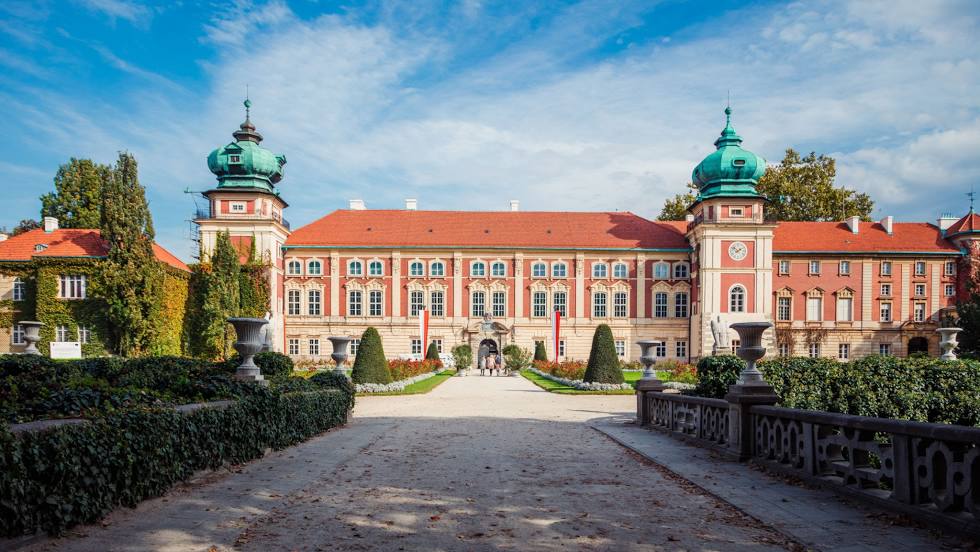
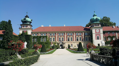
Dobczyce — Lancut distance, route on the map
Distance by car
Distance between Dobczyce, Lesser Poland Voivodeship, Poland and Lancut, Podkarpackie Voivodeship, Poland by car is — km, or miles. To travel this distance by car, you need minute, or h.
Route on the map, driving directions
Car route Dobczyce — Lancut was created automatically. The road on the map is shown as a blue line. By moving the markers, you can create a new route through the points you need.
Distance by plane
If you decide to take a trip Dobczyce Lancut by plane, then you have to fly the distance — 155 km or 96 miles. It is marked on the map with a gray line (between two points in a straight line).
Flight time
Estimated flight time Dobczyce Lancut by plane at cruising speed 750 km / h will be — 12 min.
Direction of movement
Poland, Dobczyce — right-hand traffic. Poland, Lancut — right-hand traffic.
Difference in time
Dobczyce and Lancut are in the same time zone. Between them there is no time difference (UTC +2 Europe/Warsaw).
Interesting Facts
Information on alternative ways to get to your destination.
The length of this distance is about 0.4% of the total length of the equator.
The percentage of the population is clearly shown in the graph:
Dobczyce — 6,171 (less by 12,095), Lancut — 18,266 residents.
The cost of travel
Calculate the cost of the trip yourself using the fuel consumption calculator, changing the data in the table.