Mexico City — Delegación Capultitlán
Mexico City — Ángel Albino Corzo International Airport
Mexico City — Puerto Vallarta
Mexico City — Independence
Mexico City — Ciudad de Villaldama
Mexico City — Tamarindo
Mexico City — San José Villa de Allende
Mexico City — Ocuilan
Mexico City — Mineral del Monte
Mexico City — Topón
Mexico City — Sisal
Mexico City — Finisterre
Mexico City — Ixtlán de Juárez
Mexico City — St. lucia
Mexico City — Malinalco
Mexico City — Altar Municipality
Mexico City — Tlapa de Comonfort
Mexico City — Valle de Santiago
Mexico City — Los Reyes de Salgado
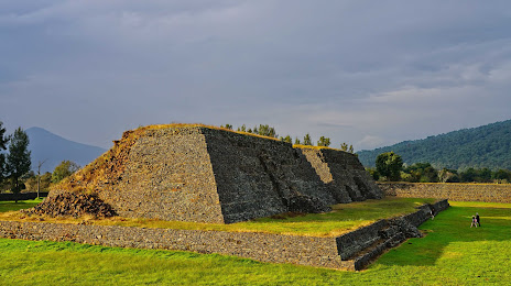
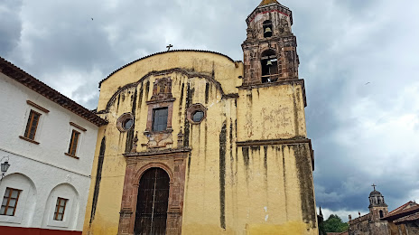
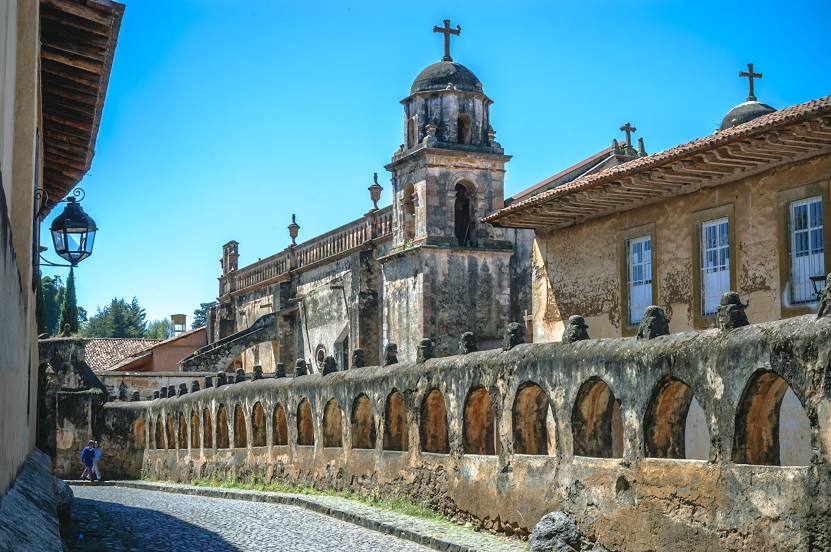
Mexico City — Pátzcuaro distance, route on the map
Distance by car
Distance between Mexico City, Federal District, Mexico and Pátzcuaro, Michoacán, Mexico by car is — km, or miles. To travel this distance by car, you need minute, or h.
Route on the map, driving directions
Car route Mexico City — Pátzcuaro was created automatically. The road on the map is shown as a blue line. By moving the markers, you can create a new route through the points you need.
Distance by plane
If you decide to take a trip Mexico City Pátzcuaro by plane, then you have to fly the distance — 260 km or 161 miles. It is marked on the map with a gray line (between two points in a straight line).
Flight time
Estimated flight time Mexico City Pátzcuaro by plane at cruising speed 750 km / h will be — 20 min.
Direction of movement
Mexico, Mexico City — right-hand traffic. Mexico, Pátzcuaro — right-hand traffic.
Difference in time
Mexico City and Pátzcuaro are in the same time zone. Between them there is no time difference (UTC -6 America/Mexico_City).
Interesting Facts
Information on alternative ways to get to your destination.
The length of this distance is about 0.6% of the total length of the equator.
The percentage of the population is clearly shown in the graph:
Mexico City — 12,294,193, Pátzcuaro — 49,018 residents (less by 12,245,175).
The cost of travel
Calculate the cost of the trip yourself using the fuel consumption calculator, changing the data in the table.