Athens — Lockwood
Athens — Stonyford
Athens — Finlayson
Athens — Schaumburg Airport
Athens — Salva
Athens — Coxsackie
Athens — Udell
Athens — Homestead
Athens — Clear Spring
Athens — Newell
Athens — Umatilla
Athens — Olathe
Athens — Gould
Athens — Fortine
Athens — Bangor
Athens — Glastonbury
Athens — East Jordan
Athens — Hardesty
Athens — Couderay
Parkersburg
Wood County
Cairo
Pennsboro
Smithburg
Doddridge County
Clarksburg
Pleasant Valley
Morgantown
Frostburg
Cumberland
Flintstone
Little Orleans
Artemas
Clear Spring
Hagerstown
Cavetown
Boonsboro
Myersville
Braddock Heights
Frederick
Ijamsville
Germantown
Derwood
Bethesda
Potomac
Georgetown
Arlington
Washington
Arlington County
Alexandria
Oxon Hill
Athens — Lockwood
Athens — Stonyford
Athens — Finlayson
Athens — Schaumburg Airport
Athens — Salva
Athens — Coxsackie
Athens — Udell
Athens — Homestead
Athens — Clear Spring
Athens — Newell
Athens — Umatilla
Athens — Olathe
Athens — Gould
Athens — Fortine
Athens — Bangor
Athens — Glastonbury
Athens — East Jordan
Athens — Hardesty
Athens — Couderay
Parkersburg
Wood County
Cairo
Pennsboro
Smithburg
Doddridge County
Clarksburg
Pleasant Valley
Morgantown
Frostburg
Cumberland
Flintstone
Little Orleans
Artemas
Clear Spring
Hagerstown
Cavetown
Boonsboro
Myersville
Braddock Heights
Frederick
Ijamsville
Germantown
Derwood
Bethesda
Potomac
Georgetown
Arlington
Washington
Arlington County
Alexandria
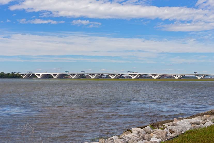
Oxon Hill
Athens — Oxon Hill distance, route on the map
Distance by car
Distance between Athens, Ohio, United States and Oxon Hill, Maryland, United States by car is — km, or miles. To travel this distance by car, you need minute, or h.
Route on the map, driving directions
Car route Athens — Oxon Hill was created automatically. The road on the map is shown as a blue line. By moving the markers, you can create a new route through the points you need.
Passing cities through which the car route passes: Little Hocking, Parkersburg, Wood County, Cairo, Pennsboro, Smithburg, Doddridge County, Clarksburg, Pleasant Valley, Morgantown, Frostburg, Cumberland, Flintstone, Little Orleans, Artemas, Clear Spring, Hagerstown, Cavetown, Boonsboro, Myersville, Braddock Heights, Frederick, Ijamsville, Germantown, Derwood, Bethesda, Potomac, Georgetown, Arlington, Washington, Arlington County, Alexandria, Oxon Hill.
Distance by plane
If you decide to take a trip Athens Oxon Hill by plane, then you have to fly the distance — 445 km or 276 miles. It is marked on the map with a gray line (between two points in a straight line).
Flight time
Estimated flight time Athens Oxon Hill by plane at cruising speed 750 km / h will be — 35 min.
Direction of movement
United States, Athens — right-hand traffic. United States, Oxon Hill — right-hand traffic.
Difference in time
Athens and Oxon Hill are in the same time zone. Between them there is no time difference (UTC -4 America/New_York).
Interesting Facts
Information on alternative ways to get to your destination.
The length of this distance is about 1.1% of the total length of the equator.
The cost of travel
Calculate the cost of the trip yourself using the fuel consumption calculator, changing the data in the table.