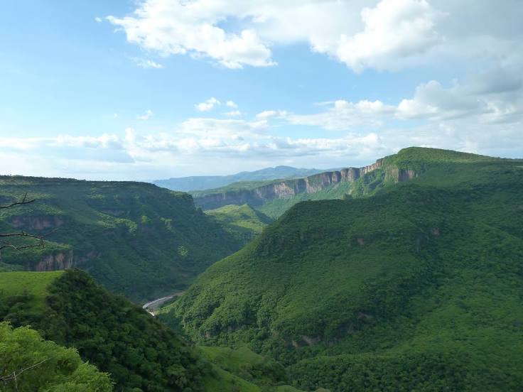
Rincón de Guayabitos — Palmillas
Rincón de Guayabitos — Onavas
Rincón de Guayabitos — Comitán
Rincón de Guayabitos — Tezontepec de Aldama
Rincón de Guayabitos — Juan Pablo II
Rincón de Guayabitos — San Pedro Chimay
Rincón de Guayabitos — La Balsa
Rincón de Guayabitos — Galeana Municipality
Rincón de Guayabitos — San Juan Totolac
Rincón de Guayabitos — Oquitoa
Rincón de Guayabitos — Bucerías
Rincón de Guayabitos — Concordia
Rincón de Guayabitos — Dolores
Rincón de Guayabitos — Canoas
Rincón de Guayabitos — Pedro Antonio Santos
Rincón de Guayabitos — Agua Fresca
Rincón de Guayabitos — Emiliano Zapata
Rincón de Guayabitos — Chínipas de Almada
Rincón de Guayabitos — El Tunal
Las Varas
Compostela
Lagunillas
San Pedro Lagunillas
Colonia el Ahualamo
Jala
Ixtlán del Río
Ixtlán del Río
Magdalena Municipality
Tequila
El Arenal
La Venta del Astillero
La Venta del Astillero
Zapopan
Zapopan
Zapopan
Vallarta
Guadalajara
Guadalajara
Railway
Tlaquepaque
Tlaquepaque
Rincón de Guayabitos — Tonalá distance, route on the map
Distance by car
Distance between Rincón de Guayabitos, Nayarit, Mexico and Tonalá, Jalisco, Mexico by car is — km, or miles. To travel this distance by car, you need minute, or h.
Route on the map, driving directions
Car route Rincón de Guayabitos — Tonalá was created automatically. The road on the map is shown as a blue line. By moving the markers, you can create a new route through the points you need.
Passing cities through which the car route passes: Chacala, Las Varas, Compostela, Lagunillas, San Pedro Lagunillas, Colonia el Ahualamo, Jala, Ixtlán del Río, Ixtlán del Río, Magdalena Municipality, Tequila, El Arenal, La Venta del Astillero, La Venta del Astillero, Zapopan, Zapopan, Zapopan, Vallarta, Guadalajara, Guadalajara, Railway, Tlaquepaque, Tlaquepaque.
Distance by plane
If you decide to take a trip Rincón de Guayabitos Tonalá by plane, then you have to fly the distance — 215 km or 133 miles. It is marked on the map with a gray line (between two points in a straight line).
Flight time
Estimated flight time Rincón de Guayabitos Tonalá by plane at cruising speed 750 km / h will be — 17 min.
Direction of movement
Mexico, Rincón de Guayabitos — right-hand traffic. Mexico, Tonalá — right-hand traffic.
Difference in time
Rincón de Guayabitos and Tonalá are in different time zones. The time difference is 1 hour (UTC -7 America/Mazatlan, UTC -6 America/Mexico_City).
Interesting Facts
Information on alternative ways to get to your destination.
The length of this distance is about 0.5% of the total length of the equator.
The cost of travel
Calculate the cost of the trip yourself using the fuel consumption calculator, changing the data in the table.