Badia del Vallès — Quel
Badia del Vallès — Tesejerague
Badia del Vallès — Guembe
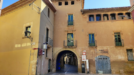
Badia del Vallès — Soto de la Marina
Badia del Vallès — Ibeas de Juarros
Badia del Vallès — Villamiel de Toledo
Badia del Vallès — Olost
Badia del Vallès — La Guingueta d'Àneu
Badia del Vallès — Guazamara
Badia del Vallès — Cazalegas
Badia del Vallès — Las Palmas de Gran Canaria
Badia del Vallès — Asturias
Badia del Vallès — Pradell de la Teixeta
Badia del Vallès — La Nou de Gaià
Badia del Vallès — Trijueque
Badia del Vallès — Jun
Badia del Vallès — Mercadal
Badia del Vallès — Cartes
Badia del Vallès — El Pla del Penedès
Rubí
Valldoreix
El Papiol
Martorell
Castellví de Rosanes
Gelida
Sant Sadurní d'Anoia
Lavern
Santa Fe del Penedès
La Granada
Vilafranca del Penedès
Els Monjos
Sant Jaume dels Domenys
Llorenç del Penedès
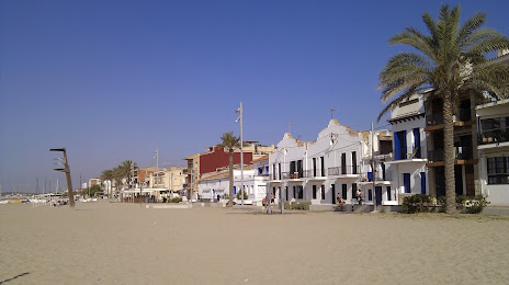
Santa Oliva
Badia del Vallès — Quel
Badia del Vallès — Tesejerague
Badia del Vallès — Guembe
Badia del Vallès — Soto de la Marina
Badia del Vallès — Ibeas de Juarros
Badia del Vallès — Villamiel de Toledo
Badia del Vallès — Olost
Badia del Vallès — La Guingueta d'Àneu
Badia del Vallès — Guazamara
Badia del Vallès — Cazalegas
Badia del Vallès — Las Palmas de Gran Canaria
Badia del Vallès — Asturias
Badia del Vallès — Pradell de la Teixeta
Badia del Vallès — La Nou de Gaià
Badia del Vallès — Trijueque
Badia del Vallès — Jun
Badia del Vallès — Mercadal
Badia del Vallès — Cartes
Badia del Vallès — El Pla del Penedès
Rubí
Valldoreix
El Papiol
Martorell
Castellví de Rosanes
Gelida
Sant Sadurní d'Anoia
Lavern
Santa Fe del Penedès
La Granada
Vilafranca del Penedès
Els Monjos
Sant Jaume dels Domenys
Llorenç del Penedès
Santa Oliva
Badia del Vallès — El Vendrell distance, route on the map
Distance by car
Distance between Badia del Vallès, Catalunya, Spain and El Vendrell, Catalunya, Spain by car is — km, or miles. To travel this distance by car, you need minute, or h.
Route on the map, driving directions
Car route Badia del Vallès — El Vendrell was created automatically. The road on the map is shown as a blue line. By moving the markers, you can create a new route through the points you need.
Passing cities through which the car route passes: Sant Cugat del Vallès, Rubí, Valldoreix, El Papiol, Martorell, Castellví de Rosanes, Gelida, Sant Sadurní d'Anoia, Lavern, Santa Fe del Penedès, La Granada, Vilafranca del Penedès, Els Monjos, Sant Jaume dels Domenys, Llorenç del Penedès, Santa Oliva.
Distance by plane
If you decide to take a trip Badia del Vallès El Vendrell by plane, then you have to fly the distance — 58 km or 36 miles. It is marked on the map with a gray line (between two points in a straight line).
Flight time
Estimated flight time Badia del Vallès El Vendrell by plane at cruising speed 750 km / h will be — 4 min.
Direction of movement
Spain, Badia del Vallès — right-hand traffic. Spain, El Vendrell — right-hand traffic.
Difference in time
Badia del Vallès and El Vendrell are in the same time zone. Between them there is no time difference (UTC +2 Europe/Madrid).
Interesting Facts
Information on alternative ways to get to your destination.
The length of this distance is about 0.1% of the total length of the equator.
The cost of travel
Calculate the cost of the trip yourself using the fuel consumption calculator, changing the data in the table.