Aramberri — Isla
Aramberri — José Cardel
Aramberri — San Sebastián
Aramberri — Cuchilla
Aramberri — Yanga
Aramberri — Santa Cruz Tlaxcala
Aramberri — El Cortijo
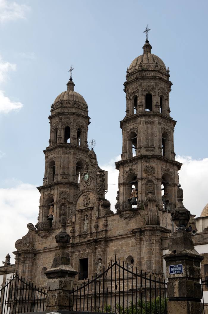
Aramberri — Zapopan
Aramberri — Colonia 6 de Mayo
Aramberri — Tlalpujahua de Rayón
Aramberri — Villa Hermosa
Aramberri — Santo Domingo Petapa
Aramberri — San Blas
Aramberri — Arroyo Lirio
Aramberri — Venustiano Carranza Municipality, Puebla
Aramberri — Santa Rosa Jáuregui
Aramberri — Hualahuises
Aramberri — Nuevo Morelos
Aramberri — Villa de el Carmen Tequexquitla
Doctor Arroyo
Presa de Maltos
Centro Historico
Entronque de Matehuala
Charco Blanco
Peotillos
Villa de Hidalgo
Soledad de Graciano Sánchez
San Luis Potosi
Mexquitic de Carmona
Escalerillas
Ville de Arriaga
Granadillas
Lagos de Moreno
San Juan de los Lagos
Jalostotitlán
Valle de Guadalupe
Tepatitlan de Morelos
Cuatro Caminos
Tierras Coloradas
Acatic
Zapotlanejo
La Laja
Puente Grande
Tonalá
Tlaquepaque
Tlaquepaque
Las Pintitas
Santa Cruz del Valle
Railway
Guadalajara
Aramberri — Isla
Aramberri — José Cardel
Aramberri — San Sebastián
Aramberri — Cuchilla
Aramberri — Yanga
Aramberri — Santa Cruz Tlaxcala
Aramberri — El Cortijo
Aramberri — Zapopan
Aramberri — Colonia 6 de Mayo
Aramberri — Tlalpujahua de Rayón
Aramberri — Villa Hermosa
Aramberri — Santo Domingo Petapa
Aramberri — San Blas
Aramberri — Arroyo Lirio
Aramberri — Venustiano Carranza Municipality, Puebla
Aramberri — Santa Rosa Jáuregui
Aramberri — Hualahuises
Aramberri — Nuevo Morelos
Aramberri — Villa de el Carmen Tequexquitla
Doctor Arroyo
Presa de Maltos
Centro Historico
Entronque de Matehuala
Charco Blanco
Peotillos
Villa de Hidalgo
Soledad de Graciano Sánchez
San Luis Potosi
Mexquitic de Carmona
Escalerillas
Ville de Arriaga
Granadillas
Lagos de Moreno
San Juan de los Lagos
Jalostotitlán
Valle de Guadalupe
Tepatitlan de Morelos
Cuatro Caminos
Tierras Coloradas
Acatic
Zapotlanejo
La Laja
Puente Grande
Tonalá
Tlaquepaque
Tlaquepaque
Las Pintitas
Santa Cruz del Valle
Railway
Guadalajara
Aramberri — Zapopan distance, route on the map
Distance by car
Distance between Aramberri, Nuevo Leon, Mexico and Zapopan, Jalisco, Mexico by car is — km, or miles. To travel this distance by car, you need minute, or h.
Route on the map, driving directions
Car route Aramberri — Zapopan was created automatically. The road on the map is shown as a blue line. By moving the markers, you can create a new route through the points you need.
Passing cities through which the car route passes: Doctor Arroyo, Doctor Arroyo, Presa de Maltos, Centro Historico, Entronque de Matehuala, Charco Blanco, Peotillos, Villa de Hidalgo, Soledad de Graciano Sánchez, San Luis Potosi, Mexquitic de Carmona, Escalerillas, Ville de Arriaga, Granadillas, Lagos de Moreno, San Juan de los Lagos, Jalostotitlán, Valle de Guadalupe, Tepatitlan de Morelos, Cuatro Caminos, Tierras Coloradas, Acatic, Zapotlanejo, La Laja, Puente Grande, Tonalá, Tlaquepaque, Tlaquepaque, Las Pintitas, Santa Cruz del Valle, Railway, Guadalajara.
Distance by plane
If you decide to take a trip Aramberri Zapopan by plane, then you have to fly the distance — 531 km or 329 miles. It is marked on the map with a gray line (between two points in a straight line).
Flight time
Estimated flight time Aramberri Zapopan by plane at cruising speed 750 km / h will be — 42 min.
Direction of movement
Mexico, Aramberri — right-hand traffic. Mexico, Zapopan — right-hand traffic.
Difference in time
Aramberri and Zapopan are in the same time zone. Between them there is no time difference (UTC -6 America/Mexico_City).
Interesting Facts
Information on alternative ways to get to your destination.
The length of this distance is about 1.3% of the total length of the equator.
The cost of travel
Calculate the cost of the trip yourself using the fuel consumption calculator, changing the data in the table.