Austin-Bergstrom International Airport — Brasher Falls-Winthrop
Austin-Bergstrom International Airport — Hobgood
Austin-Bergstrom International Airport — Frannie
Austin-Bergstrom International Airport — Philipsburg
Austin-Bergstrom International Airport — Torrance
Austin-Bergstrom International Airport — Wahpeton
Austin-Bergstrom International Airport — Lawndale
Austin-Bergstrom International Airport — Melvin Village
Austin-Bergstrom International Airport — Hopkinsville
Austin-Bergstrom International Airport — Holley
Austin-Bergstrom International Airport — Rocky Ford
Austin-Bergstrom International Airport — Running Springs
Austin-Bergstrom International Airport — Glennallen
Austin-Bergstrom International Airport — Rice
Austin-Bergstrom International Airport — Gallagher
Austin-Bergstrom International Airport — Farley
Austin-Bergstrom International Airport — Koleen
Austin-Bergstrom International Airport — Largo
Austin-Bergstrom International Airport — Oyens
Hutto
Georgetown
Williamson County
Walburg
Jarrell
Salado
Belton
Temple
Bruceville-Eddy
Lorena
Hewitt
McLennan County
Waco
Abbott
Hillsboro
Ellis County
Waxahachie
DeSoto
Dallas Executive Airport-RBD
Dallas
Hutchins
Mesquite
Sunnyvale
Rowlett
Rockwall
Rockwall
Royse City
Caddo Mills
Cumby
Brashear
Sulphur Springs
Redbank
Nash
Texarkana
Hempstead County
Hope
Beirne
Gurdon
Arkadelphia
Donaldson
Benton
Bryant
Mabelvale
Little Rock
North Little Rock
Sherwood
Jacksonville
Cabot
Beebe
Arkansas
Searcy
Judsonia
Bald Knob
See how the reverse distance goes.
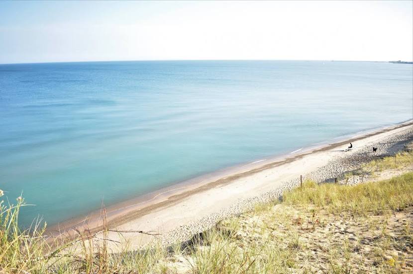
Michigan City — Austin-Bergstrom International AirportAustin-Bergstrom International Airport — Michigan City distance, route on the map
Distance by car
Distance between Austin-Bergstrom International Airport, Texas, United States and Michigan City, Indiana, United States by car is — km, or miles. To travel this distance by car, you need minute, or h.
Route on the map, driving directions
Car route Austin-Bergstrom International Airport — Michigan City was created automatically. The road on the map is shown as a blue line. By moving the markers, you can create a new route through the points you need.
Passing cities through which the car route passes: Del Valle, Hutto, Georgetown, Williamson County, Walburg, Jarrell, Salado, Belton, Temple, Bruceville-Eddy, Lorena, Hewitt, McLennan County, Waco, Abbott, Hillsboro, Ellis County, Waxahachie, DeSoto, Dallas Executive Airport-RBD, Dallas, Hutchins, Mesquite, Sunnyvale, Rowlett, Rockwall, Rockwall, Royse City, Caddo Mills, Cumby, Brashear, Sulphur Springs, Redbank, Nash, Texarkana, Hempstead County, Hope, Beirne, Gurdon, Arkadelphia, Donaldson, Benton, Bryant, Mabelvale, Little Rock, North Little Rock, Sherwood, Jacksonville, Cabot, Beebe, Arkansas, Searcy, Judsonia, Bald Knob.
Distance by plane
If you decide to take a trip Austin-Bergstrom International Airport Michigan City by plane, then you have to fly the distance — 1603 km or 994 miles. It is marked on the map with a gray line (between two points in a straight line).
Flight time
Estimated flight time Austin-Bergstrom International Airport Michigan City by plane at cruising speed 750 km / h will be — 2 h. and 8 min.
Direction of movement
United States, Austin-Bergstrom International Airport — right-hand traffic. United States, Michigan City — right-hand traffic.
Difference in time
Austin-Bergstrom International Airport and Michigan City are in the same time zone. Between them there is no time difference (UTC -5 America/Chicago).
Interesting Facts
Information on alternative ways to get to your destination.
The length of this distance is about 4.0% of the total length of the equator.
The cost of travel
Calculate the cost of the trip yourself using the fuel consumption calculator, changing the data in the table.