Zavodskoy — Arkhara
Zavodskoy — Yuzhnyy
Zavodskoy — Kryuki
Zavodskoy — Khimki
Zavodskoy — Milino
Zavodskoy — Taseyevo
Zavodskoy — Voskresenskoye
Zavodskoy — Verhnedneprovski
Zavodskoy — Pavlov
Zavodskoy — Rokot
Zavodskoy — Kursk Oblast
Zavodskoy — Neverovo
Zavodskoy — Dubrovka
Zavodskoy — Arkhipovskoye
Zavodskoy — Al'meyevo
Zavodskoy — Prosveshcheniye
Zavodskoy — Mirnyy
Zavodskoy — Aktach
Zavodskoy — Denezhnikovo
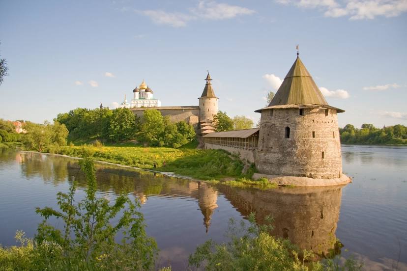
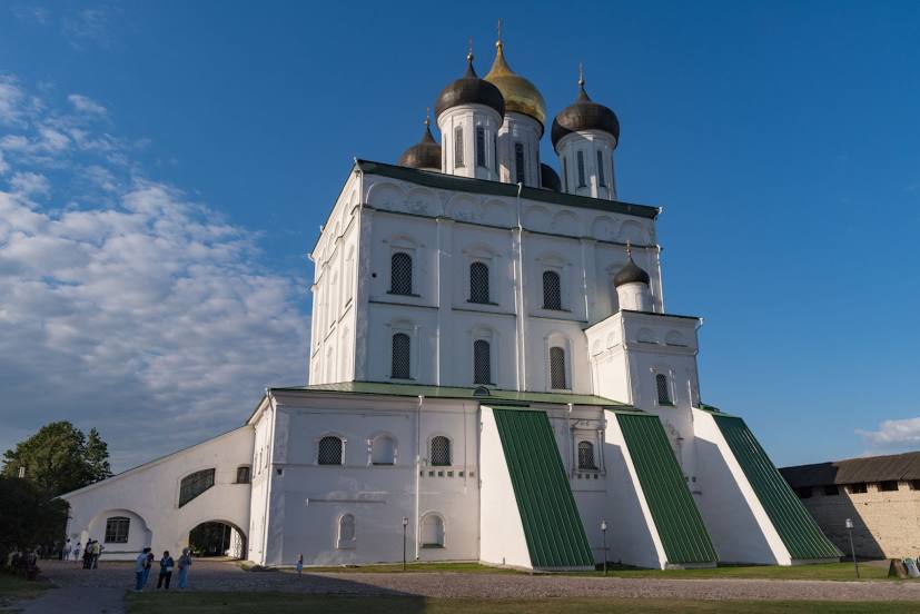
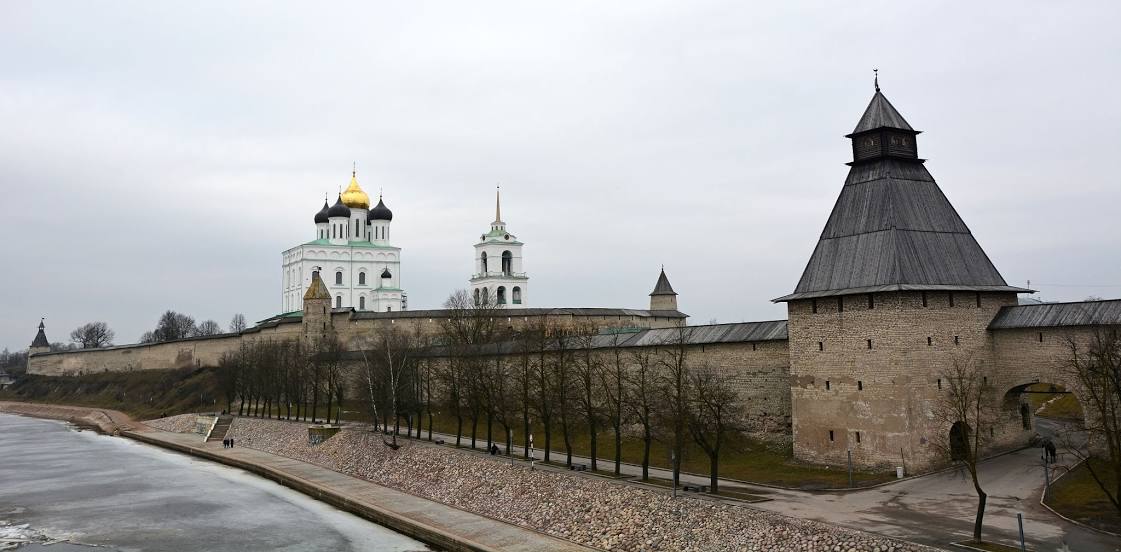
Zavodskoy — Pskov distance, route on the map
Distance by car
Distance between Zavodskoy, Primorskiy kray, Russian Federation and Pskov, Pskov Oblast, Russian Federation by car is — km, or miles. To travel this distance by car, you need minute, or h.
Route on the map, driving directions
Car route Zavodskoy — Pskov was created automatically. The road on the map is shown as a blue line. By moving the markers, you can create a new route through the points you need.
Distance by plane
If you decide to take a trip Zavodskoy Pskov by plane, then you have to fly the distance — 6755 km or 4188 miles. It is marked on the map with a gray line (between two points in a straight line).
Flight time
Estimated flight time Zavodskoy Pskov by plane at cruising speed 750 km / h will be — 9 h.
Direction of movement
Russian Federation, Zavodskoy — right-hand traffic. Russian Federation, Pskov — right-hand traffic.
Difference in time
Zavodskoy and Pskov are in different time zones. The time difference is 7 hours (UTC +10 Asia/Vladivostok, UTC +3 Europe/Moscow).
Interesting Facts
Information on alternative ways to get to your destination.
The length of this distance is about 16.9% of the total length of the equator.
The cost of travel
Calculate the cost of the trip yourself using the fuel consumption calculator, changing the data in the table.