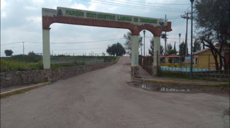
Papantla de Olarte — Kantunilkín
Papantla de Olarte — Teziutlán
Papantla de Olarte — Tepeji
Papantla de Olarte — San Rafael
Papantla de Olarte — Andrés
Papantla de Olarte — San Lorenzo Cacaotepec
Papantla de Olarte — Tubutama
Papantla de Olarte — Villa Pesqueira
Papantla de Olarte — Juchitlán
Papantla de Olarte — Ciudad Miguel Alemán
Papantla de Olarte — Armería Municipality
Papantla de Olarte — Sayulita
Papantla de Olarte — Santiago
Papantla de Olarte — Nopaltepec
Papantla de Olarte — Acatlán de Juárez
Papantla de Olarte — Oaxaca
Papantla de Olarte — Mascota
Papantla de Olarte — Urecho
Papantla de Olarte — Juan Escutia
Coatzintla
Poza Rica de Hidalgo
Plan de Ayala
La Isla
Venustiano Carranza Municipality, Puebla
Xicotepec
Huauchinango
Acaxochitlán
Santa Ana Hueytlalpan
Tulancingo
Singuilucan
Zempoala
Nopaltepec
Villa de Tezontepec
Tolcayuca
Tizayuca
Tizayuca
San Sebastián
Papantla de Olarte — Zumpango distance, route on the map
Distance by car
Distance between Papantla de Olarte, Veracruz, Mexico and Zumpango, State of Mexico, Mexico by car is — km, or miles. To travel this distance by car, you need minute, or h.
Route on the map, driving directions
Car route Papantla de Olarte — Zumpango was created automatically. The road on the map is shown as a blue line. By moving the markers, you can create a new route through the points you need.
Passing cities through which the car route passes: El Tajin, Coatzintla, Poza Rica de Hidalgo, Plan de Ayala, La Isla, Venustiano Carranza Municipality, Puebla, Xicotepec, Huauchinango, Acaxochitlán, Santa Ana Hueytlalpan, Tulancingo, Singuilucan, Zempoala, Nopaltepec, Villa de Tezontepec, Tolcayuca, Tizayuca, Tizayuca, San Sebastián.
Distance by plane
If you decide to take a trip Papantla de Olarte Zumpango by plane, then you have to fly the distance — 198 km or 123 miles. It is marked on the map with a gray line (between two points in a straight line).
Flight time
Estimated flight time Papantla de Olarte Zumpango by plane at cruising speed 750 km / h will be — 15 min.
Direction of movement
Mexico, Papantla de Olarte — right-hand traffic. Mexico, Zumpango — right-hand traffic.
Difference in time
Papantla de Olarte and Zumpango are in the same time zone. Between them there is no time difference (UTC -6 America/Mexico_City).
Interesting Facts
Information on alternative ways to get to your destination.
The length of this distance is about 0.5% of the total length of the equator.
The cost of travel
Calculate the cost of the trip yourself using the fuel consumption calculator, changing the data in the table.