Ribeirão Preto — Guaiúba
Ribeirão Preto — Grão Mogol
Ribeirão Preto — Serrana
Ribeirão Preto — Oriximiná
Ribeirão Preto — Ribeirão das Neves
Ribeirão Preto — Minas do Camaquã
Ribeirão Preto — Coruripe
Ribeirão Preto — Cajobi
Ribeirão Preto — Bragança
Ribeirão Preto — Sapezal
Ribeirão Preto — Oiapoque
Ribeirão Preto — Brazil
Ribeirão Preto — Floresta
Ribeirão Preto — Veríssimo
Ribeirão Preto — Leonópolis
Ribeirão Preto — Itapetim
Ribeirão Preto — Residência Fuck
Ribeirão Preto — Irani
Ribeirão Preto — Serrinha
Jardinópolis
Brodowski
Franca
Pedregulho
Rifaina
Rifaina
Sacramento
Araxá
Serra do Salitre
Buritizeiro
Montes Claros
Curral de Dentro
Vitória da Conquista
Jequié
Santo Estêvão
Feira de Santana
Santa Bárbara
Serrinha
Teofilândia
Araci
Tucano
Euclides da Cunha
Salgueiro
Jati
Brejo Santo
Milagres
Barro
Pendência
Icó
Jaguaribe
Jaguaribe
Jaguaribara
Tabuleiro do Norte
Limoeiro do Norte
Russas
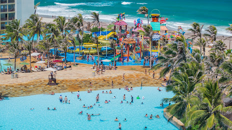
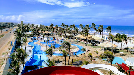
Beberibe
Ribeirão Preto — Guaiúba
Ribeirão Preto — Grão Mogol
Ribeirão Preto — Serrana
Ribeirão Preto — Oriximiná
Ribeirão Preto — Ribeirão das Neves
Ribeirão Preto — Minas do Camaquã
Ribeirão Preto — Coruripe
Ribeirão Preto — Cajobi
Ribeirão Preto — Bragança
Ribeirão Preto — Sapezal
Ribeirão Preto — Oiapoque
Ribeirão Preto — Brazil
Ribeirão Preto — Floresta
Ribeirão Preto — Veríssimo
Ribeirão Preto — Leonópolis
Ribeirão Preto — Itapetim
Ribeirão Preto — Residência Fuck
Ribeirão Preto — Irani
Ribeirão Preto — Serrinha
Jardinópolis
Brodowski
Franca
Pedregulho
Rifaina
Rifaina
Sacramento
Araxá
Serra do Salitre
Buritizeiro
Montes Claros
Curral de Dentro
Vitória da Conquista
Jequié
Santo Estêvão
Feira de Santana
Santa Bárbara
Serrinha
Teofilândia
Araci
Tucano
Euclides da Cunha
Salgueiro
Jati
Brejo Santo
Milagres
Barro
Pendência
Icó
Jaguaribe
Jaguaribe
Jaguaribara
Tabuleiro do Norte
Limoeiro do Norte
Russas
Beberibe
Ribeirão Preto — Aquiraz distance, route on the map
Distance by car
Distance between Ribeirão Preto, State of São Paulo, Brazil and Aquiraz, Ceará, Brazil by car is — km, or miles. To travel this distance by car, you need minute, or h.
Route on the map, driving directions
Car route Ribeirão Preto — Aquiraz was created automatically. The road on the map is shown as a blue line. By moving the markers, you can create a new route through the points you need.
Passing cities through which the car route passes: Ribeirão Preto, Jardinópolis, Brodowski, Franca, Pedregulho, Rifaina, Rifaina, Sacramento, Araxá, Serra do Salitre, Buritizeiro, Montes Claros, Curral de Dentro, Vitória da Conquista, Jequié, Santo Estêvão, Feira de Santana, Santa Bárbara, Serrinha, Teofilândia, Araci, Tucano, Euclides da Cunha, Salgueiro, Jati, Brejo Santo, Milagres, Barro, Pendência, Icó, Jaguaribe, Jaguaribe, Jaguaribara, Tabuleiro do Norte, Limoeiro do Norte, Russas, Beberibe.
Distance by plane
If you decide to take a trip Ribeirão Preto Aquiraz by plane, then you have to fly the distance — 2174 km or 1348 miles. It is marked on the map with a gray line (between two points in a straight line).
Flight time
Estimated flight time Ribeirão Preto Aquiraz by plane at cruising speed 750 km / h will be — 2 h. and 53 min.
Direction of movement
Brazil, Ribeirão Preto — right-hand traffic. Brazil, Aquiraz — right-hand traffic.
Difference in time
Ribeirão Preto and Aquiraz are in the same time zone. Between them there is no time difference (UTC -3 America/Sao_Paulo).
Interesting Facts
Information on alternative ways to get to your destination.
The length of this distance is about 5.4% of the total length of the equator.
The percentage of the population is clearly shown in the graph:
Ribeirão Preto — 619,746, Aquiraz — 65,117 residents (less by 554,629).
The cost of travel
Calculate the cost of the trip yourself using the fuel consumption calculator, changing the data in the table.