Coatzacoalcos — Ábrego
Coatzacoalcos — Las Rosas
Coatzacoalcos — Moctezuma
Coatzacoalcos — Tres Marias
Coatzacoalcos — Uriangato
Coatzacoalcos — Chinobampo
Coatzacoalcos — Ixtlahuacán de los Membrillos
Coatzacoalcos — El Refugio
Coatzacoalcos — General Roberto Fierro Villalobos International Airport
Coatzacoalcos — Tacambaro
Coatzacoalcos — Cabrales
Coatzacoalcos — Amatepec
Coatzacoalcos — Tierra Colorada
Coatzacoalcos — Ayotoxco de Guerrero
Coatzacoalcos — Ensenada
Coatzacoalcos — San Miguel el Grande
Coatzacoalcos — San José de Gracia
Coatzacoalcos — Río Limón
Coatzacoalcos — Villa Pesqueira
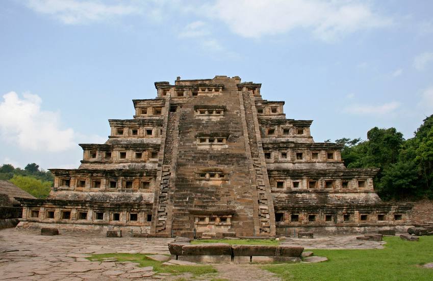
Coatzacoalcos — Papantla de Olarte distance, route on the map
Distance by car
Distance between Coatzacoalcos, Veracruz, Mexico and Papantla de Olarte, Veracruz, Mexico by car is — km, or miles. To travel this distance by car, you need minute, or h.
Route on the map, driving directions
Car route Coatzacoalcos — Papantla de Olarte was created automatically. The road on the map is shown as a blue line. By moving the markers, you can create a new route through the points you need.
Distance by plane
If you decide to take a trip Coatzacoalcos Papantla de Olarte by plane, then you have to fly the distance — 396 km or 246 miles. It is marked on the map with a gray line (between two points in a straight line).
Flight time
Estimated flight time Coatzacoalcos Papantla de Olarte by plane at cruising speed 750 km / h will be — 31 min.
Direction of movement
Mexico, Coatzacoalcos — right-hand traffic. Mexico, Papantla de Olarte — right-hand traffic.
Difference in time
Coatzacoalcos and Papantla de Olarte are in the same time zone. Between them there is no time difference (UTC -6 America/Mexico_City).
Interesting Facts
Information on alternative ways to get to your destination.
The length of this distance is about 1.0% of the total length of the equator.
The percentage of the population is clearly shown in the graph:
Coatzacoalcos — 230,727, Papantla de Olarte — 47,958 residents (less by 182,769).
The cost of travel
Calculate the cost of the trip yourself using the fuel consumption calculator, changing the data in the table.