Matamoros — Ejido el Ajusco
Matamoros — Aguascalientes
Matamoros — Cacahuamilpa
Matamoros — El Porvenir
Matamoros — Orizatlán
Matamoros — Atasta
Matamoros — Chignahuapan
Matamoros — Playa Esmeralda
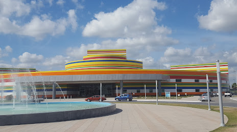
Matamoros — Paras
Matamoros — Paila
Matamoros — Mexico state
Matamoros — Guaxcama
Matamoros — Guerrero Negro
Matamoros — Tierra Nueva
Matamoros — Chilchota
Matamoros — Punta de Mita
Matamoros — San Rafael
Matamoros — Juan Aldama
Matamoros — Lagunillas
Matamoros — Ejido el Ajusco
Matamoros — Aguascalientes
Matamoros — Cacahuamilpa
Matamoros — El Porvenir
Matamoros — Orizatlán
Matamoros — Atasta
Matamoros — Chignahuapan
Matamoros — Playa Esmeralda
Matamoros — Paras
Matamoros — Paila
Matamoros — Mexico state
Matamoros — Guaxcama
Matamoros — Guerrero Negro
Matamoros — Tierra Nueva
Matamoros — Chilchota
Matamoros — Punta de Mita
Matamoros — San Rafael
Matamoros — Juan Aldama
Matamoros — Lagunillas
Matamoros — Reynosa distance, route on the map
Distance by car
Distance between Matamoros, Tamaulipas, Mexico and Reynosa, Tamaulipas, Mexico by car is — km, or miles. To travel this distance by car, you need minute, or h.
Route on the map, driving directions
Car route Matamoros — Reynosa was created automatically. The road on the map is shown as a blue line. By moving the markers, you can create a new route through the points you need.
Passing cities through which the car route passes: Brownsville (us), Los Indios (us), Nuevo Progreso, Ciudad Río Bravo, Aeropuerto, Rodríguez.
Distance by plane
If you decide to take a trip Matamoros Reynosa by plane, then you have to fly the distance — 81 km or 50 miles. It is marked on the map with a gray line (between two points in a straight line).
Flight time
Estimated flight time Matamoros Reynosa by plane at cruising speed 750 km / h will be — 6 min.
Direction of movement
Mexico, Matamoros — right-hand traffic. Mexico, Reynosa — right-hand traffic.
Difference in time
Matamoros and Reynosa are in different time zones. The time difference is 1 hour (UTC -6 America/Mexico_City, UTC -5 America/Chicago).
Interesting Facts
Information on alternative ways to get to your destination.
The length of this distance is about 0.2% of the total length of the equator.
The percentage of the population is clearly shown in the graph:
Matamoros — 435,159 (less by 63,511), Reynosa — 498,670 residents.
The cost of travel
Calculate the cost of the trip yourself using the fuel consumption calculator, changing the data in the table.