Pouso Alegre — Inhumas
Pouso Alegre — Raposo
Pouso Alegre — Conchas
Pouso Alegre — Três Marias
Pouso Alegre — Setubinha
Pouso Alegre — Colina
Pouso Alegre — Gaspar
Pouso Alegre — Botucatu
Pouso Alegre — Ipu
Pouso Alegre — Belém
Pouso Alegre — Tucuruvi
Pouso Alegre — Rondon
Pouso Alegre — Barbosa Ferraz
Pouso Alegre — Minas do Camaquã
Pouso Alegre — Alexandria
Pouso Alegre — Taubaté
Pouso Alegre — Pedro de Toledo
Pouso Alegre — Ivaiporã
Pouso Alegre — Catanduva
Campanha
Três Corações
Carmo da Cachoeira
Carmo da Cachoeira
Santo Antônio do Amparo
Oliveira
Oliveira
Itatiaiuçu
Igarapé
São Joaquim de Bicas
Betim
Contagem
Barreiro
Calafate
Prado
Jaraguá
Sabará
Nova União
João Monlevade
Nova Era
Timóteo
Coronel Fabriciano
Ipatinga
Ipaba
Santana do Paraíso
Naque
Valadares Governor
Frei Inocêncio
Jampruca
Campanário
Itambacuri
Teófilo Otoni
Carlos Chagas
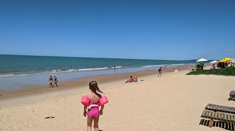
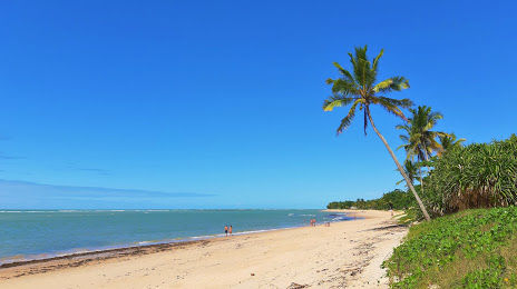
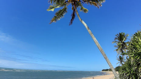
Itamaraju
Pouso Alegre — Inhumas
Pouso Alegre — Raposo
Pouso Alegre — Conchas
Pouso Alegre — Três Marias
Pouso Alegre — Setubinha
Pouso Alegre — Colina
Pouso Alegre — Gaspar
Pouso Alegre — Botucatu
Pouso Alegre — Ipu
Pouso Alegre — Belém
Pouso Alegre — Tucuruvi
Pouso Alegre — Rondon
Pouso Alegre — Barbosa Ferraz
Pouso Alegre — Minas do Camaquã
Pouso Alegre — Alexandria
Pouso Alegre — Taubaté
Pouso Alegre — Pedro de Toledo
Pouso Alegre — Ivaiporã
Pouso Alegre — Catanduva
Campanha
Três Corações
Carmo da Cachoeira
Carmo da Cachoeira
Santo Antônio do Amparo
Oliveira
Oliveira
Itatiaiuçu
Igarapé
São Joaquim de Bicas
Betim
Contagem
Barreiro
Calafate
Prado
Jaraguá
Sabará
Nova União
João Monlevade
Nova Era
Timóteo
Coronel Fabriciano
Ipatinga
Ipaba
Santana do Paraíso
Naque
Valadares Governor
Frei Inocêncio
Jampruca
Campanário
Itambacuri
Teófilo Otoni
Carlos Chagas
Itamaraju
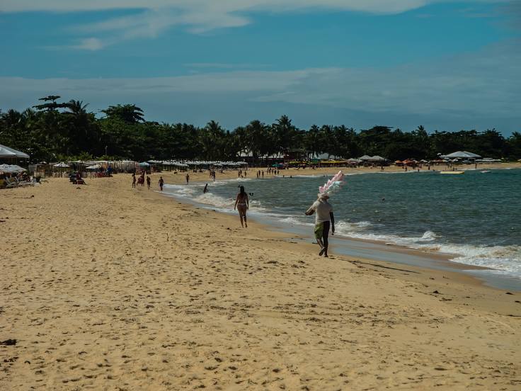
Pouso Alegre — Porto Seguro distance, route on the map
Distance by car
Distance between Pouso Alegre, State of Minas Gerais, Brazil and Porto Seguro, Bahia, Brazil by car is — km, or miles. To travel this distance by car, you need minute, or h.
Route on the map, driving directions
Car route Pouso Alegre — Porto Seguro was created automatically. The road on the map is shown as a blue line. By moving the markers, you can create a new route through the points you need.
Passing cities through which the car route passes: São Sebastião da Bela Vista, Campanha, Três Corações, Carmo da Cachoeira, Carmo da Cachoeira, Santo Antônio do Amparo, Oliveira, Oliveira, Itatiaiuçu, Igarapé, São Joaquim de Bicas, Betim, Contagem, Barreiro, Calafate, Prado, Jaraguá, Sabará, Nova União, João Monlevade, Nova Era, Timóteo, Coronel Fabriciano, Ipatinga, Ipaba, Santana do Paraíso, Naque, Valadares Governor, Frei Inocêncio, Jampruca, Campanário, Itambacuri, Teófilo Otoni, Carlos Chagas, Itamaraju.
Distance by plane
If you decide to take a trip Pouso Alegre Porto Seguro by plane, then you have to fly the distance — 968 km or 600 miles. It is marked on the map with a gray line (between two points in a straight line).
Flight time
Estimated flight time Pouso Alegre Porto Seguro by plane at cruising speed 750 km / h will be — 1 h. and 17 min.
Direction of movement
Brazil, Pouso Alegre — right-hand traffic. Brazil, Porto Seguro — right-hand traffic.
Difference in time
Pouso Alegre and Porto Seguro are in the same time zone. Between them there is no time difference (UTC -3 America/Sao_Paulo).
Interesting Facts
Information on alternative ways to get to your destination.
The length of this distance is about 2.4% of the total length of the equator.
The percentage of the population is clearly shown in the graph:
Pouso Alegre — 115,201 (less by 7,995), Porto Seguro — 123,196 residents.
The cost of travel
Calculate the cost of the trip yourself using the fuel consumption calculator, changing the data in the table.