Sierra Mojada Municipality — Huaquechula
Sierra Mojada Municipality — Chontalpa
Sierra Mojada Municipality — Escobedo
Sierra Mojada Municipality — Marfil
Sierra Mojada Municipality — Piedras Azules
Sierra Mojada Municipality — Yaxhá
Sierra Mojada Municipality — Xocchel
Sierra Mojada Municipality — Ignacio Zaragoza
Sierra Mojada Municipality — Jalpan de Serra
Sierra Mojada Municipality — Tlaltenango
Sierra Mojada Municipality — Sacramento
Sierra Mojada Municipality — Tetla
Sierra Mojada Municipality — Cerro de la Palma
Sierra Mojada Municipality — Emilio Portes Gil
Sierra Mojada Municipality — San Francisco Magú
Sierra Mojada Municipality — Pedriceña
Sierra Mojada Municipality — Banderas Bay
Sierra Mojada Municipality — Mecayapan
Sierra Mojada Municipality — Bacobampo
Francisco I. Madero
Pilar
Hormiguero
The flower
Gómez Palacio
Transport
Lerdo
León Guzmán
Chocolate
Pedriceña
Cuencamé
Juan Aldama
Río Grande
Río Grande
El Carrizal
El Baluarte
San José de Lourdes
Plateros
Fresnillo
Estación San José
Taray
Calera
De Guerreros
Guadalupe
Cosío
Escaleras
Rincon de Romos
Pabellón de Arteaga
Arteaga Pavilion
San Francisco de los Romo
San Francisco de los Romo
Jesús Gómez Portugal
Special Development Galleries
Aguascalientes
Lic. Jesús Terán Peredo International Airport
Encarnación de Díaz
Santa Bárbara
Estancia
Lyon
Guanajuato International Airport
La Aldea
Lo de Juárez
Valencianita
Mendoza
Salamanca
Valtierrilla
Sarabia
Santa Cruz de Juventino Rosas
Celaya
Jáuregui
Apaseo el Grande
El Tunal
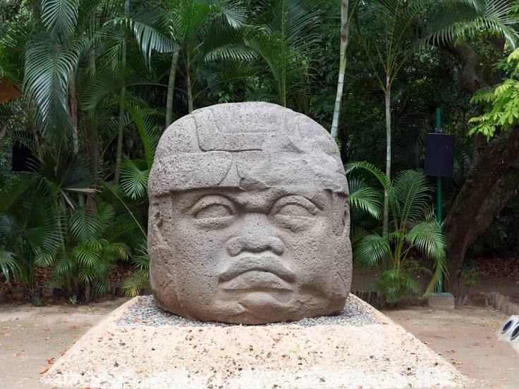
Sierra Mojada Municipality — Villahermosa distance, route on the map
Distance by car
Distance between Sierra Mojada Municipality, Coahuila, Mexico and Villahermosa, Tabasco, Mexico by car is — km, or miles. To travel this distance by car, you need minute, or h.
Route on the map, driving directions
Car route Sierra Mojada Municipality — Villahermosa was created automatically. The road on the map is shown as a blue line. By moving the markers, you can create a new route through the points you need.
Passing cities through which the car route passes: Finisterre, Francisco I. Madero, Pilar, Hormiguero, The flower, Gómez Palacio, Transport, Lerdo, León Guzmán, Chocolate, Pedriceña, Cuencamé, Juan Aldama, Río Grande, Río Grande, El Carrizal, El Baluarte, San José de Lourdes, Plateros, Fresnillo, Estación San José, Taray, Calera, De Guerreros, Guadalupe, Cosío, Escaleras, Rincon de Romos, Pabellón de Arteaga, Arteaga Pavilion, San Francisco de los Romo, San Francisco de los Romo, Jesús Gómez Portugal, Special Development Galleries, Aguascalientes, Lic. Jesús Terán Peredo International Airport, Encarnación de Díaz, Santa Bárbara, Estancia, Lyon, Guanajuato International Airport, La Aldea, Lo de Juárez, Valencianita, Mendoza, Salamanca, Valtierrilla, Sarabia, Santa Cruz de Juventino Rosas, Celaya, Jáuregui, Apaseo el Grande, El Tunal.
Distance by plane
If you decide to take a trip Sierra Mojada Municipality Villahermosa by plane, then you have to fly the distance — 1511 km or 937 miles. It is marked on the map with a gray line (between two points in a straight line).
Flight time
Estimated flight time Sierra Mojada Municipality Villahermosa by plane at cruising speed 750 km / h will be — 2 h.
Direction of movement
Mexico, Sierra Mojada Municipality — right-hand traffic. Mexico, Villahermosa — right-hand traffic.
Difference in time
Sierra Mojada Municipality and Villahermosa are in the same time zone. Between them there is no time difference (UTC -6 America/Mexico_City).
Interesting Facts
Information on alternative ways to get to your destination.
The length of this distance is about 3.8% of the total length of the equator.
The cost of travel
Calculate the cost of the trip yourself using the fuel consumption calculator, changing the data in the table.