Benson — Pennsboro
Benson — Vulcan
Benson — Boneville
Benson — Newton Grove
Benson — Latta
Benson — Auburn
Benson — Warroad
Benson — Zionsville
Benson — Phenix City
Benson — Gates County
Benson — Ruthven
Benson — Hima
Benson — Frankenstein
Benson — Left Hand
Benson — Rolla
Benson — Edwards County
Benson — Mifflin
Benson — Peggs
Benson — Glenns Ferry
Cochise
Willcox
Raso
Lordsburg
Moon
Deming
Mesilla
Las Cruces
White Sands
Boles Acres
Alamogordo
Tularosa
Duran
Guadalupe County
Santa Rosa
Tucumcari
Nara Visa
Dalhart
Stratford
Texhoma
Guymon
Optima
Liberal
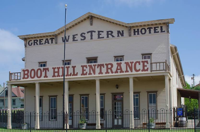
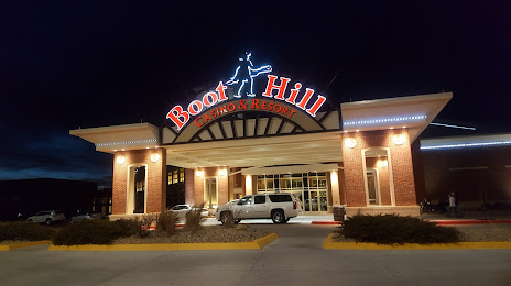
Benson — Dodge City distance, route on the map
Distance by car
Distance between Benson, Arizona, United States and Dodge City, Kansas, United States by car is — km, or miles. To travel this distance by car, you need minute, or h.
Route on the map, driving directions
Car route Benson — Dodge City was created automatically. The road on the map is shown as a blue line. By moving the markers, you can create a new route through the points you need.
Passing cities through which the car route passes: Dragoon, Cochise, Willcox, Raso, Lordsburg, Moon, Deming, Mesilla, Las Cruces, White Sands, Boles Acres, Alamogordo, Tularosa, Duran, Guadalupe County, Santa Rosa, Tucumcari, Nara Visa, Dalhart, Stratford, Texhoma, Guymon, Optima, Liberal.
Distance by plane
If you decide to take a trip Benson Dodge City by plane, then you have to fly the distance — 1136 km or 704 miles. It is marked on the map with a gray line (between two points in a straight line).
Flight time
Estimated flight time Benson Dodge City by plane at cruising speed 750 km / h will be — 1 h. and 30 min.
Direction of movement
United States, Benson — right-hand traffic. United States, Dodge City — right-hand traffic.
Difference in time
Benson and Dodge City are in different time zones. The time difference is 2 hours (UTC -7 America/Phoenix, UTC -5 America/Chicago).
Interesting Facts
Information on alternative ways to get to your destination.
The length of this distance is about 2.8% of the total length of the equator.
The percentage of the population is clearly shown in the graph:
Benson — 5,105 (less by 20,827), Dodge City — 25,932 residents.
The cost of travel
Calculate the cost of the trip yourself using the fuel consumption calculator, changing the data in the table.