
 Ustronie Morskie
Poraj
Kazimierza Wielka
Brańsk
Lewin Brzeski
Szprotawa
Nowe Skalmierzyce
Drzewica
Gromnik
Karnice
Dębe Wielkie
Pakosław
Bogoria
Dzierzgoń
Nowy Dwór Gdański
Barczewo
Biala Rawska
Małdyty
Dąbrówno
Ustronie Morskie
Poraj
Kazimierza Wielka
Brańsk
Lewin Brzeski
Szprotawa
Nowe Skalmierzyce
Drzewica
Gromnik
Karnice
Dębe Wielkie
Pakosław
Bogoria
Dzierzgoń
Nowy Dwór Gdański
Barczewo
Biala Rawska
Małdyty
Dąbrówno
Ciechocinek on the map, Poland
Where is located Ciechocinek
Exact location — Ciechocinek, Aleksandrów County, Kuyavian-Pomeranian Voivodeship, Poland, marked on the map with a red marker.
Coordinates
Ciechocinek, Poland coordinates in decimal format: latitude — 52.8790493, longitude — 18.7948147. When converted to degrees, minutes, seconds Ciechocinek has the following coordinates: 52°52′44.58 north latitude and 18°47′41.33 east longitude.
Population
Ciechocinek, Aleksandrów County, Kuyavian-Pomeranian Voivodeship, Poland, according to our data the population is — 10,832 residents, which is about 0% of the total population of the country (Poland).
Comparison of the population on the graph:
Exact time
Time zone for this location Ciechocinek — UTC +2 Europe/Warsaw. Exact time — wednesday, 5 may 2024 year, 22 h. 46 minutes.
Sunrise and sunset
Ciechocinek, sunrise and sunset data for a date — wednesday 1.05.2024.
| Sunrise | Sunset | Day (duration) |
|---|---|---|
| 05:15 -2 minutes | 20:08 +2 minutes | 14 h. 54 minutes. +4 minutes |
You can control the scale of the map using the auxiliary tools to find out exactly where it is located Ciechocinek. When you change the scale of the map, the width of the ruler also changes (in kilometers and miles).
Nearby cities
The largest cities that are located nearby:
- Torun — 20 km
- Wloclawek — 31 km
- Bydgoszcz — 59 km
- Plock — 71 km
- Łódź — 132 km
- Kalisz — 132 km
- Poznań — 137 km
- Elblag — 147 km
- Olsztyn — 148 km
- Gdańsk — 163 km
- Gdynia — 182 km
- Koszalin — 223 km
- Częstochowa — 230 km
- Radom — 230 km
- Wrocław — 231 km
- Kaliningrad
 (Russia) — 231 km
 - Gorzów Wielkopolski — 239 km
- Zielona Gora — 247 km
- Opole — 251 km
Distance to neighboring capitals:
- Berlin
 (Germany) — 365 km
 - Prague
 (Czech Republic) — 434 km
 - Vilnius
 (Lithuania) — 471 km
 - Copenhagen
 (Denmark) — 510 km
 - Bratislava
 (Slovakia) — 540 km
 - Vienna
 (Austria) — 547 km
 - Rīga
 (Latvia) — 566 km
 - Minsk
 (Belarus) — 592 km
 - Budapest
 (Hungary) — 599 km
 - Kyiv
 (Ukraine) — 852 km
 - Helsinki
 (Finland) — 894 km
 - Belgrade
 (Serbia) — 908 km
 - Amsterdam
 (Netherlands) — 939 km
 - Bern
 (Switzerland) — 1045 km
 - Bucharest
 (Romania) — 1081 km
 - Paris
 (France) — 1234 km
 - Moscow (Russia) — 1258 km
- Tbilisi
 (Georgia) — 2301 km
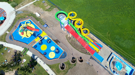
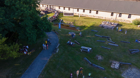
Attractions

Distance to the capital
Distance to the capital (Warsaw) is about — 166 km.