Alto Bonito — Davis
Alto Bonito — Stewarts Point
Alto Bonito — Brunswick
Alto Bonito — Tyonek
Alto Bonito — Gaines
Alto Bonito — Claunch
Alto Bonito — Castlewood
Alto Bonito — Pearisburg
Alto Bonito — Helena
Alto Bonito — Spindale
Alto Bonito — Perry
Alto Bonito — Lena
Alto Bonito — Piney
Alto Bonito — San Carlos
Alto Bonito — Lynd
Alto Bonito — Sawyerville
Alto Bonito — Littlefork
Alto Bonito — Brevard
Alto Bonito — York
Roma
Salineno
Falcon Heights
Lopeno
Zapata
San Ygnacio
Rio Bravo
Nuevo Laredo
Alto Bonito — Davis
Alto Bonito — Stewarts Point
Alto Bonito — Brunswick
Alto Bonito — Tyonek
Alto Bonito — Gaines
Alto Bonito — Claunch
Alto Bonito — Castlewood
Alto Bonito — Pearisburg
Alto Bonito — Helena
Alto Bonito — Spindale
Alto Bonito — Perry
Alto Bonito — Lena
Alto Bonito — Piney
Alto Bonito — San Carlos
Alto Bonito — Lynd
Alto Bonito — Sawyerville
Alto Bonito — Littlefork
Alto Bonito — Brevard
Alto Bonito — York
Roma
Salineno
Falcon Heights
Lopeno
Zapata
San Ygnacio
Rio Bravo
Nuevo Laredo  Laredo
Asherton
Carrizo Springs
Eagle Pass
Jiménez
Del Rio
Comstock
Langtry
Fort Stockton
Van Horn
Allamoore
Sierra Blanca
Fort Hancock
Fabens
Clint
Zaragoza
El Paso
Border
El Paso
Ciudad Juarez
El Paso
El Paso
Santa Teresa
Canutillo
Berino
Vado
Mesilla
Deming
Moon
Lordsburg
Raso
Willcox
Cochise
Dragoon
Benson
Tucson International Airport
Tucson
Marana
Picacho
Eloy
Arizona City
Casa Grande
Sacaton
Casa Blanca
Laredo
Asherton
Carrizo Springs
Eagle Pass
Jiménez
Del Rio
Comstock
Langtry
Fort Stockton
Van Horn
Allamoore
Sierra Blanca
Fort Hancock
Fabens
Clint
Zaragoza
El Paso
Border
El Paso
Ciudad Juarez
El Paso
El Paso
Santa Teresa
Canutillo
Berino
Vado
Mesilla
Deming
Moon
Lordsburg
Raso
Willcox
Cochise
Dragoon
Benson
Tucson International Airport
Tucson
Marana
Picacho
Eloy
Arizona City
Casa Grande
Sacaton
Casa Blanca
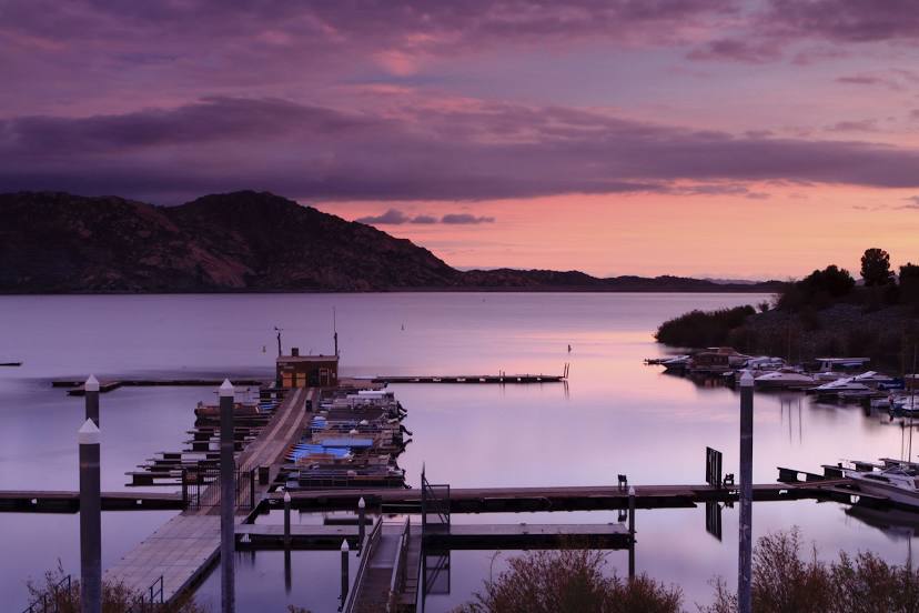
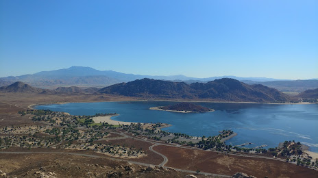
Alto Bonito — Moreno Valley distance, route on the map
Distance by car
Distance between Alto Bonito, Texas, United States and Moreno Valley, California, United States by car is — km, or miles. To travel this distance by car, you need minute, or h.
Route on the map, driving directions
Car route Alto Bonito — Moreno Valley was created automatically. The road on the map is shown as a blue line. By moving the markers, you can create a new route through the points you need.
Passing cities through which the car route passes: Rio Grande City, Roma, Salineno, Falcon Heights, Lopeno, Zapata, San Ygnacio, Rio Bravo, Nuevo Laredo (mx), Laredo, Asherton, Carrizo Springs, Eagle Pass, Jiménez (mx), Del Rio, Comstock, Langtry, Fort Stockton, Van Horn, Allamoore, Sierra Blanca, Fort Hancock, Fabens, Clint, Zaragoza (mx), El Paso, Border (mx), El Paso, Ciudad Juarez (mx), El Paso, El Paso, Santa Teresa, Canutillo, Berino, Vado, Mesilla, Deming, Moon, Lordsburg, Raso, Willcox, Cochise, Dragoon, Benson, Tucson International Airport, Tucson, Marana, Picacho, Eloy, Arizona City, Casa Grande, Sacaton, Casa Blanca.
Distance by plane
If you decide to take a trip Alto Bonito Moreno Valley by plane, then you have to fly the distance — 1973 km or 1223 miles. It is marked on the map with a gray line (between two points in a straight line).
Flight time
Estimated flight time Alto Bonito Moreno Valley by plane at cruising speed 750 km / h will be — 2 h. and 37 min.
Direction of movement
United States, Alto Bonito — right-hand traffic. United States, Moreno Valley — right-hand traffic.
Difference in time
Alto Bonito and Moreno Valley are in different time zones. The time difference is 2 hours (UTC -5 America/Chicago, UTC -7 America/Los_Angeles).
Interesting Facts
Information on alternative ways to get to your destination.
The length of this distance is about 4.9% of the total length of the equator.
The cost of travel
Calculate the cost of the trip yourself using the fuel consumption calculator, changing the data in the table.