Ancon — Naranjito Canton
Ancon — Crucita
Ancon — Guayaquil
Ancon — Yacuambi
Ancon — Mocha Canton
Ancon — Saint Matthew
Ancon — Cotundo
Ancon — Mompiche
Ancon — Chimborazo Province
Ancon — Cuenca
Ancon — Las Nieves
Ancon — Same
Ancon — General Morales
Ancon — Guayaquil
Ancon — Anchayacu
Ancon — Cerecita
Ancon — Puerto jeli
Ancon — Loreto Canton
Ancon — Ayora
St. Helen
Banos de San Vicente
Juan Montalvo
Río Verde
San Rafael
Zapotal
Buenos Aires
Sucre
Olmedo
Progreso
Tamarindo
Cerecita
Aguas Verdes
Consuelo
Chongón
Guayaquil
Via La Costa
Simon Bolivar
Shipyard
Aeropuerto Jose Joaquin De Olmedo
Jose Joaquin de Olmedo International Airport
Duran
Canton Duran
Yaguachi
Pajonal
Jujan
Babahoyo
Julia
Saint John
Old Town
Ventanas
The rivers
Saint Charles
Quevedo
Buena Fé
Buena Fé
Los Ríos Province
Holandesa
Los Angeles
Quevedo
Luz de América
El Esfuerzo
Julio Moreno
Santo Domingo de los Tsáchilas Province
Santo Domingo
Santo Domingo
Libertad del Toachi
Mindo Valley
San Miguel de Los Bancos
Mindo
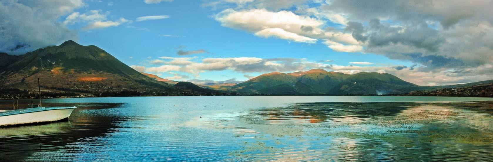
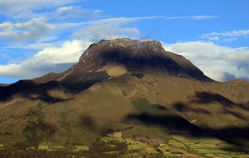
Ancon — Otavalo distance, route on the map
Distance by car
Distance between Ancon, Santa Elena Province, Ecuador and Otavalo, Imbabura, Ecuador by car is — km, or miles. To travel this distance by car, you need minute, or h.
Route on the map, driving directions
Car route Ancon — Otavalo was created automatically. The road on the map is shown as a blue line. By moving the markers, you can create a new route through the points you need.
Passing cities through which the car route passes: El Tambo, St. Helen, Banos de San Vicente, Juan Montalvo, Río Verde, San Rafael, Zapotal, Buenos Aires, Sucre, Olmedo, Progreso, Tamarindo, Cerecita, Aguas Verdes, Consuelo, Chongón, Guayaquil, Via La Costa, Simon Bolivar, Shipyard, Aeropuerto Jose Joaquin De Olmedo, Jose Joaquin de Olmedo International Airport, Duran, Canton Duran, Yaguachi, Pajonal, Jujan, Babahoyo, Julia, Saint John, Old Town, Ventanas, The rivers, Saint Charles, Quevedo, Buena Fé, Buena Fé, Los Ríos Province, Holandesa, Los Angeles, Quevedo, Luz de América, El Esfuerzo, Julio Moreno, Santo Domingo de los Tsáchilas Province, Santo Domingo, , Santo Domingo, Libertad del Toachi, Mindo Valley, San Miguel de Los Bancos, Mindo.
Distance by plane
If you decide to take a trip Ancon Otavalo by plane, then you have to fly the distance — 405 km or 251 miles. It is marked on the map with a gray line (between two points in a straight line).
Flight time
Estimated flight time Ancon Otavalo by plane at cruising speed 750 km / h will be — 32 min.
Direction of movement
Ecuador, Ancon — right-hand traffic. Ecuador, Otavalo — right-hand traffic.
Difference in time
Ancon and Otavalo are in the same time zone. Between them there is no time difference (UTC -5 America/Guayaquil).
Interesting Facts
Information on alternative ways to get to your destination.
The length of this distance is about 1.0% of the total length of the equator.
The cost of travel
Calculate the cost of the trip yourself using the fuel consumption calculator, changing the data in the table.