Osvaldo Cruz — São Pedro do Piauí
Osvaldo Cruz — Várzea da Palma
Osvaldo Cruz — Taquaral
Osvaldo Cruz — Paragua
Osvaldo Cruz — Pederneiras
Osvaldo Cruz — Penedo
Osvaldo Cruz — Nova Trento
Osvaldo Cruz — State of Rondônia
Osvaldo Cruz — Mogi das Cruzes
Osvaldo Cruz — Belford Roxo
Osvaldo Cruz — Juru
Osvaldo Cruz — Heliodora
Osvaldo Cruz — Brasilia
Osvaldo Cruz — São Vicente
Osvaldo Cruz — Joaquim Nabuco
Osvaldo Cruz — Boa Vista
Osvaldo Cruz — Sede Nova
Osvaldo Cruz — Igaraçu do Tietê
Osvaldo Cruz — Pilar
Clementina
Penápolis
José Bonifácio
Jaci
Bady Bassitt
Sao Jose de Rio Preto
Onda Verde
Nova Granada
Border
Prata
Centralina
Araporã
Itumbiara
Morrinhos
Hidrolândia
Goiânia
Goiânia Airport
Nerópolis
Rialma
Uruaçu
Porangatu
Cariri do Tocantins
Gurupi
Paraíso do Tocantins
Miranorte
Colinas do Tocantins
Nova Olinda
Araguaína
Porto Franco
Imperatriz
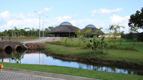
Acará
Osvaldo Cruz — São Pedro do Piauí
Osvaldo Cruz — Várzea da Palma
Osvaldo Cruz — Taquaral
Osvaldo Cruz — Paragua
Osvaldo Cruz — Pederneiras
Osvaldo Cruz — Penedo
Osvaldo Cruz — Nova Trento
Osvaldo Cruz — State of Rondônia
Osvaldo Cruz — Mogi das Cruzes
Osvaldo Cruz — Belford Roxo
Osvaldo Cruz — Juru
Osvaldo Cruz — Heliodora
Osvaldo Cruz — Brasilia
Osvaldo Cruz — São Vicente
Osvaldo Cruz — Joaquim Nabuco
Osvaldo Cruz — Boa Vista
Osvaldo Cruz — Sede Nova
Osvaldo Cruz — Igaraçu do Tietê
Osvaldo Cruz — Pilar
Clementina
Penápolis
José Bonifácio
Jaci
Bady Bassitt
Sao Jose de Rio Preto
Onda Verde
Nova Granada
Border
Prata
Centralina
Araporã
Itumbiara
Morrinhos
Hidrolândia
Goiânia
Goiânia Airport
Nerópolis
Rialma
Uruaçu
Porangatu
Cariri do Tocantins
Gurupi
Paraíso do Tocantins
Miranorte
Colinas do Tocantins
Nova Olinda
Araguaína
Porto Franco
Imperatriz
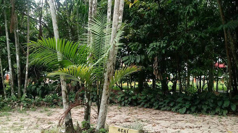
Acará
Osvaldo Cruz — Ananindeua distance, route on the map
Distance by car
Distance between Osvaldo Cruz, State of São Paulo, Brazil and Ananindeua, Pará, Brazil by car is — km, or miles. To travel this distance by car, you need minute, or h.
Route on the map, driving directions
Car route Osvaldo Cruz — Ananindeua was created automatically. The road on the map is shown as a blue line. By moving the markers, you can create a new route through the points you need.
Passing cities through which the car route passes: Piacatu, Clementina, Penápolis, José Bonifácio, Jaci, Bady Bassitt, Sao Jose de Rio Preto, Onda Verde, Nova Granada, Border, Prata, Centralina, Araporã, Itumbiara, Morrinhos, Hidrolândia, Goiânia, Goiânia Airport, Nerópolis, Rialma, Uruaçu, Porangatu, Cariri do Tocantins, Gurupi, Paraíso do Tocantins, Miranorte, Colinas do Tocantins, Nova Olinda, Araguaína, Porto Franco, Imperatriz, Acará.
Distance by plane
If you decide to take a trip Osvaldo Cruz Ananindeua by plane, then you have to fly the distance — 2289 km or 1419 miles. It is marked on the map with a gray line (between two points in a straight line).
Flight time
Estimated flight time Osvaldo Cruz Ananindeua by plane at cruising speed 750 km / h will be — 3 h. and 3 min.
Direction of movement
Brazil, Osvaldo Cruz — right-hand traffic. Brazil, Ananindeua — right-hand traffic.
Difference in time
Osvaldo Cruz and Ananindeua are in the same time zone. Between them there is no time difference (UTC -3 America/Sao_Paulo).
Interesting Facts
Information on alternative ways to get to your destination.
The length of this distance is about 5.7% of the total length of the equator.
The percentage of the population is clearly shown in the graph:
Osvaldo Cruz — 25,746 (less by 408,210), Ananindeua — 433,956 residents.
The cost of travel
Calculate the cost of the trip yourself using the fuel consumption calculator, changing the data in the table.