Suaqui Grande — Boyé
Suaqui Grande — Totutla
Suaqui Grande — Ixtlán de los Hervores
Suaqui Grande — San Agustín Etla
Suaqui Grande — San Francisco del Mar
Suaqui Grande — San Nicolas de los Garza
Suaqui Grande — Moctezuma
Suaqui Grande — San Buenaventura
Suaqui Grande — San Pedro Pochutla
Suaqui Grande — Pencuyut
Suaqui Grande — Santa Rita
Suaqui Grande — Santiago Tlacotepec
Suaqui Grande — Heroica Ciudad de Huajuapan de Leon
Suaqui Grande — Piedra Pinta
Suaqui Grande — San Bernardo Mixtepec
Suaqui Grande — Escárcega
Suaqui Grande — La Quemada
Suaqui Grande — Tinum
Suaqui Grande — La Manzanilla
Fundición
Navojoa
Bacabachi
Estación Luis
Dolores Hidalgo
Chávez Talamantes
Licenciado Gustavo Díaz Ordaz
San Miguel Zapotitlán
Los Mochis
Juan José Ríos
Adolfo Ruiz Cortines
Batamote
Cinco de Mayo
Guasave
Angostura
Colonia Independencia
Costa Rica
Isabelita
Loma
Ceuta
San Ignacio
Mazatlán
Mazatlán International Airport
Villa Unión
El Huajote
El Rosario
Reform
La Concha
Tecuala
Rosamorada
Paso Real del Bejuco
Ruiz
El Capomal
Yago Station
La Guinea
Guayabitos
Tepic
Xalisco
Suaqui Grande — Boyé
Suaqui Grande — Totutla
Suaqui Grande — Ixtlán de los Hervores
Suaqui Grande — San Agustín Etla
Suaqui Grande — San Francisco del Mar
Suaqui Grande — San Nicolas de los Garza
Suaqui Grande — Moctezuma
Suaqui Grande — San Buenaventura
Suaqui Grande — San Pedro Pochutla
Suaqui Grande — Pencuyut
Suaqui Grande — Santa Rita
Suaqui Grande — Santiago Tlacotepec
Suaqui Grande — Heroica Ciudad de Huajuapan de Leon
Suaqui Grande — Piedra Pinta
Suaqui Grande — San Bernardo Mixtepec
Suaqui Grande — Escárcega
Suaqui Grande — La Quemada
Suaqui Grande — Tinum
Suaqui Grande — La Manzanilla
Fundición
Navojoa
Bacabachi
Estación Luis
Dolores Hidalgo
Chávez Talamantes
Licenciado Gustavo Díaz Ordaz
San Miguel Zapotitlán
Los Mochis
Juan José Ríos
Adolfo Ruiz Cortines
Batamote
Cinco de Mayo
Guasave
Angostura
Colonia Independencia
Costa Rica
Isabelita
Loma
Ceuta
San Ignacio
Mazatlán
Mazatlán International Airport
Villa Unión
El Huajote
El Rosario
Reform
La Concha
Tecuala
Rosamorada
Paso Real del Bejuco
Ruiz
El Capomal
Yago Station
La Guinea
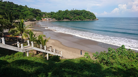
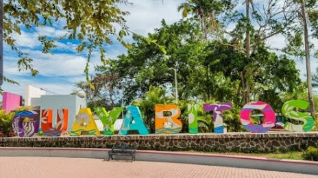
Guayabitos
Tepic
Xalisco
Suaqui Grande — Compostela distance, route on the map
Distance by car
Distance between Suaqui Grande, Sonora, Mexico and Compostela, Nayarit, Mexico by car is — km, or miles. To travel this distance by car, you need minute, or h.
Route on the map, driving directions
Car route Suaqui Grande — Compostela was created automatically. The road on the map is shown as a blue line. By moving the markers, you can create a new route through the points you need.
Passing cities through which the car route passes: Good view, Fundición, Navojoa, Bacabachi, Estación Luis, Dolores Hidalgo, Chávez Talamantes, Licenciado Gustavo Díaz Ordaz, San Miguel Zapotitlán, Los Mochis, Juan José Ríos, Adolfo Ruiz Cortines, Batamote, Cinco de Mayo, Guasave, Angostura, Colonia Independencia, Costa Rica, Isabelita, Loma, Ceuta, San Ignacio, Mazatlán, Mazatlán International Airport, Villa Unión, El Huajote, El Rosario, Reform, La Concha, Tecuala, Rosamorada, Paso Real del Bejuco, Ruiz, El Capomal, Yago Station, La Guinea, Guayabitos, Tepic, Xalisco.
Distance by plane
If you decide to take a trip Suaqui Grande Compostela by plane, then you have to fly the distance — 942 km or 584 miles. It is marked on the map with a gray line (between two points in a straight line).
Flight time
Estimated flight time Suaqui Grande Compostela by plane at cruising speed 750 km / h will be — 1 h. and 15 min.
Direction of movement
Mexico, Suaqui Grande — right-hand traffic. Mexico, Compostela — right-hand traffic.
Difference in time
Suaqui Grande and Compostela are in the same time zone. Between them there is no time difference (UTC -7 America/Hermosillo).
Interesting Facts
Information on alternative ways to get to your destination.
The length of this distance is about 2.4% of the total length of the equator.
The cost of travel
Calculate the cost of the trip yourself using the fuel consumption calculator, changing the data in the table.