 Cuautitlan
Ameca
Boca del Río
Tehuacán
Metepec
Ecatepec
Ciudad Obregón
Chalco de Díaz Covarrubias
Santa Catarina
Celaya
La Paz
Matamoros
Torreón
Cuernavaca
Coatzacoalcos
Xalapa
Villahermosa
Tuxtla Gutiérrez
Toluca
Cuautitlan
Ameca
Boca del Río
Tehuacán
Metepec
Ecatepec
Ciudad Obregón
Chalco de Díaz Covarrubias
Santa Catarina
Celaya
La Paz
Matamoros
Torreón
Cuernavaca
Coatzacoalcos
Xalapa
Villahermosa
Tuxtla Gutiérrez
Toluca
Tepic on the map, Mexico
Where is located Tepic
Exact location — Tepic, Tepic, Nayarit, Mexico, marked on the map with a red marker.
Coordinates
Tepic, Mexico coordinates in decimal format: latitude — 21.5041651, longitude — -104.8945887. When converted to degrees, minutes, seconds Tepic has the following coordinates: 21°30′14.99 north latitude and -104°53′40.52 east longitude.
Population
Tepic, Tepic, Nayarit, Mexico, according to our data the population is — 280,602 residents, which is about 0.2% of the total population of the country (Mexico).
Comparison of the population on the graph:
Exact time
Time zone for this location Tepic — UTC -7 America/Mazatlan. Exact time — friday, 4 april 2024 year, 07 h. 25 minutes.
Sunrise and sunset
Tepic, sunrise and sunset data for a date — friday 26.04.2024.
| Sunrise | Sunset | Day (duration) |
|---|---|---|
| 05:33 -1 minute | 18:20 -0 minutes | 12 h. 48 minutes. +1 minute |
You can control the scale of the map using the auxiliary tools to find out exactly where it is located Tepic. When you change the scale of the map, the width of the ruler also changes (in kilometers and miles).
Nearby cities
The largest cities that are located nearby:
- Puerto Vallarta — 100 km
- Zapopan — 178 km
- Guadalajara — 185 km
- Tlaquepaque — 190 km
- Tonalá — 197 km
- Mazatlán — 247 km
- Aguascalientes — 270 km
- Manzanillo — 271 km
- Zacatecas — 274 km
- Fresnillo — 277 km
- Colima — 278 km
- Durango — 280 km
- Zamora — 319 km
- León — 334 km
- Uruapan — 377 km
- Irapuato — 377 km
- Salamanca — 396 km
- San Luis Potosi — 407 km
- Soledad de Graciano Sánchez — 412 km
Distance to neighboring capitals:
- Guatemala City
 (Guatemala) — 1700 km
 - Belmopan
 (Belize) — 1756 km
 - Tegucigalpa
 (Honduras) — 2044 km
 - Washington
 (United States) — 3282 km
 - Ottawa
 (Canada) — 3757 km
 - Saint John
 (Puerto Rico) — 4059 km
 - Belgrade
 (Serbia) — 10801 km
 - Podgorica
 (Montenegro) — 10893 km
 - Hagåtña
 (Guam) — 11485 km
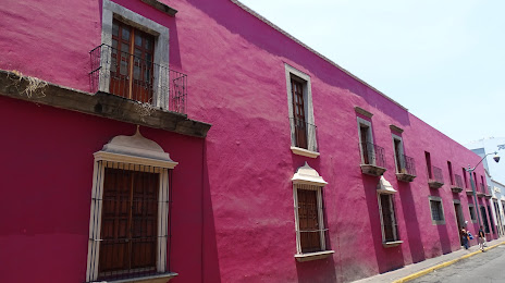
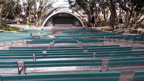
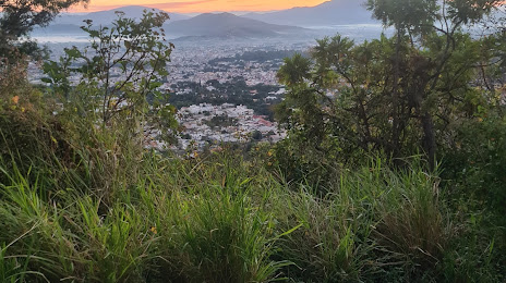
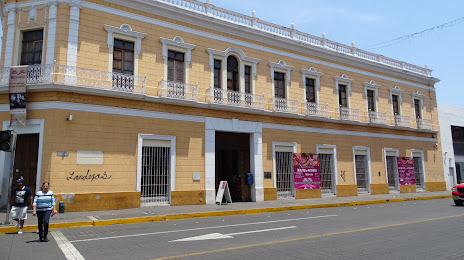
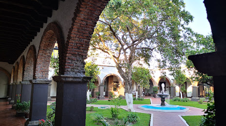
Attractions


Distance to the capital
Distance to the capital (Mexico City) is about — 643 km.