El Roblito — Ario de Rosales
El Roblito — Chan Santa Cruz
El Roblito — Comonfort
El Roblito — Matias Romero Avendano
El Roblito — Tlacoachistlahuaca
El Roblito — Tanhuato de Guerrero
El Roblito — Transport
El Roblito — Coeneo de la Libertad
El Roblito — Sabancuy
El Roblito — Duarte
El Roblito — Cacahuamilpa
El Roblito — El Zapotal
El Roblito — La Vigueta
El Roblito — Balancán
El Roblito — Plan de Guadalupe International Airport
El Roblito — Topia
El Roblito — San Jeronimito
El Roblito — Chilpancingo
El Roblito — Comala
Totatiche
Jerez de García Salinas
Zacatecas
Villa de Cos
Concepción del Oro Municipality
Saltillo
Saltillo
Saltillo
Ramos Arizpe
Aeropuerto Saltillo “Plan de Guadalupe”
Santa Catarina
Santa Catarina
San Pedro Garza García
Monterrey
Mexico
Monterrey
Guadalupe
The ports
Juarez
Cadereyta
New Lion
The Ramones
General Bravo
Loma Alta
Peña Blanca
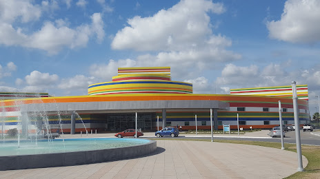
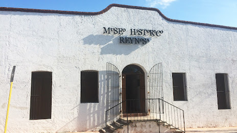
Reynosa
Laredo
Rodríguez
El Roblito — Ario de Rosales
El Roblito — Chan Santa Cruz
El Roblito — Comonfort
El Roblito — Matias Romero Avendano
El Roblito — Tlacoachistlahuaca
El Roblito — Tanhuato de Guerrero
El Roblito — Transport
El Roblito — Coeneo de la Libertad
El Roblito — Sabancuy
El Roblito — Duarte
El Roblito — Cacahuamilpa
El Roblito — El Zapotal
El Roblito — La Vigueta
El Roblito — Balancán
El Roblito — Plan de Guadalupe International Airport
El Roblito — Topia
El Roblito — San Jeronimito
El Roblito — Chilpancingo
El Roblito — Comala
Totatiche
Jerez de García Salinas
Zacatecas
Villa de Cos
Concepción del Oro Municipality
Saltillo
Saltillo
Saltillo
Ramos Arizpe
Aeropuerto Saltillo “Plan de Guadalupe”
Santa Catarina
Santa Catarina
San Pedro Garza García
Monterrey
Mexico
Monterrey
Guadalupe
The ports
Juarez
Cadereyta
New Lion
The Ramones
General Bravo
Loma Alta
Peña Blanca
Reynosa
Laredo
Rodríguez
El Roblito — Reynosa distance, route on the map
Distance by car
Distance between El Roblito, Nayarit, Mexico and Reynosa, Tamaulipas, Mexico by car is — km, or miles. To travel this distance by car, you need minute, or h.
Route on the map, driving directions
Car route El Roblito — Reynosa was created automatically. The road on the map is shown as a blue line. By moving the markers, you can create a new route through the points you need.
Passing cities through which the car route passes: Villa Guerrero, Totatiche, Jerez de García Salinas, Zacatecas, Villa de Cos, Concepción del Oro Municipality, Saltillo, Saltillo, Saltillo, Ramos Arizpe, Aeropuerto Saltillo “Plan de Guadalupe”, Santa Catarina, Santa Catarina, San Pedro Garza García, Monterrey, Mexico, Monterrey, Guadalupe, The ports, Juarez, Cadereyta, New Lion, The Ramones, General Bravo, Loma Alta, Peña Blanca, Reynosa, Laredo, Rodríguez.
Distance by plane
If you decide to take a trip El Roblito Reynosa by plane, then you have to fly the distance — 811 km or 503 miles. It is marked on the map with a gray line (between two points in a straight line).
Flight time
Estimated flight time El Roblito Reynosa by plane at cruising speed 750 km / h will be — 1 h. and 4 min.
Direction of movement
Mexico, El Roblito — right-hand traffic. Mexico, Reynosa — right-hand traffic.
Difference in time
El Roblito and Reynosa are in different time zones. The time difference is 2 hours (UTC -7 America/Mazatlan, UTC -5 America/Chicago).
Interesting Facts
Information on alternative ways to get to your destination.
The length of this distance is about 2.0% of the total length of the equator.
The cost of travel
Calculate the cost of the trip yourself using the fuel consumption calculator, changing the data in the table.