Lions River — Folweni
Lions River — Underberg
Lions River — Riversdale
Lions River — Pretoria
Lions River — Greater Addo
Lions River — Thokoza
Lions River — Brendan Village
Lions River — Delportshoop
Lions River — Swalala
Lions River — Umzinto
Lions River — Diepkloof
Lions River — Virginia Airport
Lions River — Moria
Lions River — Moruleng
Lions River — Umdloti
Lions River — Mossel Bay
Lions River — Matanda
Lions River — Villiersdorp
Lions River — Ocean View
Nottingham Road
Mooi River
Estcourt
South Africa
Harrismith
Harrismith
Harrismith
Warden
Roadside
Villiers
Buyscelia AH
Risiville
Vereeniging
Vanderbijlpark
Sasolburg
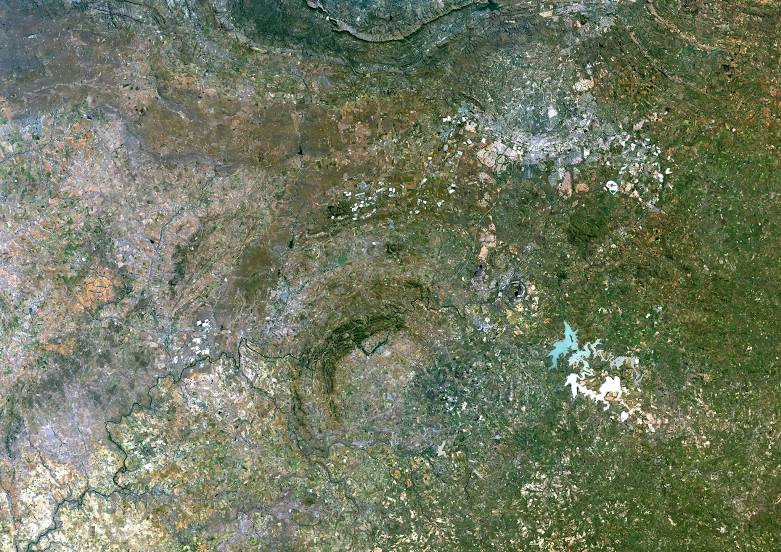
Lions River — Parys distance, route on the map
Distance by car
Distance between Lions River, KwaZulu-Natal, South Africa and Parys, Free State, South Africa by car is — km, or miles. To travel this distance by car, you need minute, or h.
Route on the map, driving directions
Car route Lions River — Parys was created automatically. The road on the map is shown as a blue line. By moving the markers, you can create a new route through the points you need.
Passing cities through which the car route passes: Balgowan, Nottingham Road, Mooi River, Estcourt, South Africa, Harrismith, Harrismith, Harrismith, Warden, Roadside, Villiers, Buyscelia AH, Risiville, Vereeniging, Vanderbijlpark, Sasolburg.
Distance by plane
If you decide to take a trip Lions River Parys by plane, then you have to fly the distance — 387 km or 240 miles. It is marked on the map with a gray line (between two points in a straight line).
Flight time
Estimated flight time Lions River Parys by plane at cruising speed 750 km / h will be — 30 min.
Direction of movement
South Africa, Lions River — left-hand traffic. South Africa, Parys — left-hand traffic.
Difference in time
Lions River and Parys are in the same time zone. Between them there is no time difference (UTC +2 Africa/Johannesburg).
Interesting Facts
Information on alternative ways to get to your destination.
The length of this distance is about 1.0% of the total length of the equator.
The cost of travel
Calculate the cost of the trip yourself using the fuel consumption calculator, changing the data in the table.