Três Lagoas — Milagres
Três Lagoas — Laranja da Terra
Três Lagoas — Pouso Novo
Três Lagoas — Sumaré
Três Lagoas — Lagarto
Três Lagoas — Brasilia
Três Lagoas — Pitangueiras
Três Lagoas — São Vicente
Três Lagoas — São Carlos
Três Lagoas — Chuí
Três Lagoas — Serrita
Três Lagoas — Ernestina
Três Lagoas — Cabeludo
Três Lagoas — Correntina
Três Lagoas — Porto da Folha
Três Lagoas — Cotia
Três Lagoas — Alto Bela Vista
Três Lagoas — Osório
Três Lagoas — Alagoinhas
Andradina
Mirandópolis
Valparaíso
Bento de Abreu
Guararapes
Araçatuba
Araçatuba
Birigui
Coroados
Penápolis
Promissão
Lins
Cafelândia
Pirajuí
Presidente Alves
Avaí
Bauru
Pederneiras
Brotas
Brotas
Itirapina
São Paulo
Rio Claro
Santa Gertrudes
Cordeirópolis
Limeira
Americana
Jardim Thelja
Nova Odessa
Sumaré
Hortolândia
Campinas
Sousas
Itatiba
Jarinu
Três Lagoas — Atibaia distance, route on the map
Distance by car
Distance between Três Lagoas, Mato Grosso do Sul, Brazil and Atibaia, São Paulo, Brazil by car is — km, or miles. To travel this distance by car, you need minute, or h.
Route on the map, driving directions
Car route Três Lagoas — Atibaia was created automatically. The road on the map is shown as a blue line. By moving the markers, you can create a new route through the points you need.
Passing cities through which the car route passes: Castilho, Andradina, Mirandópolis, Valparaíso, Bento de Abreu, Guararapes, Araçatuba, Araçatuba, Birigui, Coroados, Penápolis, Promissão, Lins, Cafelândia, Pirajuí, Presidente Alves, Avaí, Bauru, Pederneiras, Brotas, Brotas, Itirapina, São Paulo, Rio Claro, Santa Gertrudes, Cordeirópolis, Limeira, Americana, Jardim Thelja, Nova Odessa, Sumaré, Hortolândia, Campinas, Sousas, Itatiba, Jarinu.
Distance by plane
If you decide to take a trip Três Lagoas Atibaia by plane, then you have to fly the distance — 591 km or 366 miles. It is marked on the map with a gray line (between two points in a straight line).
Flight time
Estimated flight time Três Lagoas Atibaia by plane at cruising speed 750 km / h will be — 47 min.
Direction of movement
Brazil, Três Lagoas — right-hand traffic. Brazil, Atibaia — right-hand traffic.
Difference in time
Três Lagoas and Atibaia are in different time zones. The time difference is 1 hour (UTC -4 America/Campo_Grande, UTC -3 America/Sao_Paulo).
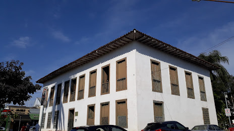
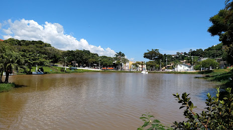
Interesting Facts
Information on alternative ways to get to your destination.
The length of this distance is about 1.5% of the total length of the equator.
The percentage of the population is clearly shown in the graph:
Três Lagoas — 78,714 (less by 32,256), Atibaia — 110,970 residents.
The cost of travel
Calculate the cost of the trip yourself using the fuel consumption calculator, changing the data in the table.