Barra do Garças — Barra do Chui
Barra do Garças — Várzea Grande
Barra do Garças — Monte Castelo
Barra do Garças — Monte Belo
Barra do Garças — Lorena
Barra do Garças — Carmo do Rio Claro
Barra do Garças — Tabuleiro do Norte
Barra do Garças — Taguatinga
Barra do Garças — Passos
Barra do Garças — São Simão
Barra do Garças — Águas de Lindóia
Barra do Garças — Guidoval
Barra do Garças — Marmelópolis
Barra do Garças — Agudo
Barra do Garças — Junqueiro
Barra do Garças — Fazenda Rio Grande
Barra do Garças — Jarinu
Barra do Garças — Itacoatiara
Barra do Garças — Sao Paulo International Airport
Jataí
Aporé
Cassilândia
Paranaíba
Ilha Solteira
Castilho
Andradina
Nova Independência
Tupi Paulista
Ouro Verde
Presidente Venceslau
Piquerobi
Santo Anastácio
Presidente Bernardes
Álvares Machado
Presidente Prudente
Regente Feijó
Taciba
Porecatu
Jaguapitã
Rolândia
Arapongas
Apucarana
Marilândia do Sul
Ponta Grossa
Campo Largo
Campo Magro
Curitiba
Pinhais
São José dos Pinhais
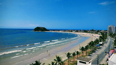
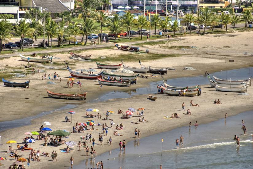
Matinhos
Matinhos
Barra do Garças — Barra do Chui
Barra do Garças — Várzea Grande
Barra do Garças — Monte Castelo
Barra do Garças — Monte Belo
Barra do Garças — Lorena
Barra do Garças — Carmo do Rio Claro
Barra do Garças — Tabuleiro do Norte
Barra do Garças — Taguatinga
Barra do Garças — Passos
Barra do Garças — São Simão
Barra do Garças — Águas de Lindóia
Barra do Garças — Guidoval
Barra do Garças — Marmelópolis
Barra do Garças — Agudo
Barra do Garças — Junqueiro
Barra do Garças — Fazenda Rio Grande
Barra do Garças — Jarinu
Barra do Garças — Itacoatiara
Barra do Garças — Sao Paulo International Airport
Jataí
Aporé
Cassilândia
Paranaíba
Ilha Solteira
Castilho
Andradina
Nova Independência
Tupi Paulista
Ouro Verde
Presidente Venceslau
Piquerobi
Santo Anastácio
Presidente Bernardes
Álvares Machado
Presidente Prudente
Regente Feijó
Taciba
Porecatu
Jaguapitã
Rolândia
Arapongas
Apucarana
Marilândia do Sul
Ponta Grossa
Campo Largo
Campo Magro
Curitiba
Pinhais
São José dos Pinhais
Matinhos
Matinhos
Barra do Garças — Guaratuba distance, route on the map
Distance by car
Distance between Barra do Garças, Mato Grosso, Brazil and Guaratuba, Paraná, Brazil by car is — km, or miles. To travel this distance by car, you need minute, or h.
Route on the map, driving directions
Car route Barra do Garças — Guaratuba was created automatically. The road on the map is shown as a blue line. By moving the markers, you can create a new route through the points you need.
Passing cities through which the car route passes: Pontal do Araguaia, Jataí, Aporé, Cassilândia, Paranaíba, Ilha Solteira, Castilho, Andradina, Nova Independência, Tupi Paulista, Ouro Verde, Presidente Venceslau, Piquerobi, Santo Anastácio, Presidente Bernardes, Álvares Machado, Presidente Prudente, Regente Feijó, Taciba, Porecatu, Jaguapitã, Rolândia, Arapongas, Apucarana, Marilândia do Sul, Ponta Grossa, Campo Largo, Campo Magro, Curitiba, Pinhais, São José dos Pinhais, Matinhos, Matinhos.
Distance by plane
If you decide to take a trip Barra do Garças Guaratuba by plane, then you have to fly the distance — 1175 km or 729 miles. It is marked on the map with a gray line (between two points in a straight line).
Flight time
Estimated flight time Barra do Garças Guaratuba by plane at cruising speed 750 km / h will be — 1 h. and 34 min.
Direction of movement
Brazil, Barra do Garças — right-hand traffic. Brazil, Guaratuba — right-hand traffic.
Difference in time
Barra do Garças and Guaratuba are in different time zones. The time difference is 1 hour (UTC -4 America/Campo_Grande, UTC -3 America/Sao_Paulo).
Interesting Facts
Information on alternative ways to get to your destination.
The length of this distance is about 2.9% of the total length of the equator.
The percentage of the population is clearly shown in the graph:
Barra do Garças — 52,402, Guaratuba — 18,906 residents (less by 33,496).
The cost of travel
Calculate the cost of the trip yourself using the fuel consumption calculator, changing the data in the table.