Marília — Virgínia
Marília — Tremembé
Marília — Igrejinha
Marília — São João dos Patos
Marília — Rio do Sul
Marília — Artur Nogueira
Marília — São Francisco do Conde
Marília — Taubaté
Marília — Marataízes
Marília — São João de Meriti
Marília — Cana Verde
Marília — Jaguaretama
Marília — Atins
Marília — Itamonte
Marília — Centenário do Sul
Marília — Confins
Marília — School
Marília — Lagoa Dourada
Marília — Queiroz
Santo Antônio da Platina
Guapirama
Conselheiro Mairinck
Japira
Ibaiti
Ventania
Piraí do Sul
Castro
Carambeí
Ponta Grossa
Palmeira
Lapa
Campo do Tenente
Rio Negro
Mafra
Papanduva
Monte Castelo
Residência Fuck
Santa Cecília
Correia Pinto
Lages
Lages
Capão Alto
Vacaria
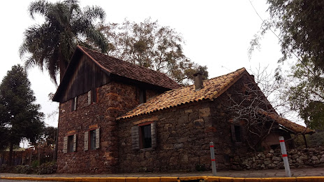
Antônio Prado
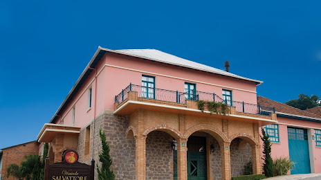
Flores da Cunha
Marília — Virgínia
Marília — Tremembé
Marília — Igrejinha
Marília — São João dos Patos
Marília — Rio do Sul
Marília — Artur Nogueira
Marília — São Francisco do Conde
Marília — Taubaté
Marília — Marataízes
Marília — São João de Meriti
Marília — Cana Verde
Marília — Jaguaretama
Marília — Atins
Marília — Itamonte
Marília — Centenário do Sul
Marília — Confins
Marília — School
Marília — Lagoa Dourada
Marília — Queiroz
Santo Antônio da Platina
Guapirama
Conselheiro Mairinck
Japira
Ibaiti
Ventania
Piraí do Sul
Castro
Carambeí
Ponta Grossa
Palmeira
Lapa
Campo do Tenente
Rio Negro
Mafra
Papanduva
Monte Castelo
Residência Fuck
Santa Cecília
Correia Pinto
Lages
Lages
Capão Alto
Vacaria
Antônio Prado
Flores da Cunha
Marília — Caxias do Sul distance, route on the map
Distance by car
Distance between Marília, State of São Paulo, Brazil and Caxias do Sul, Rio Grande do Sul, Brazil by car is — km, or miles. To travel this distance by car, you need minute, or h.
Route on the map, driving directions
Car route Marília — Caxias do Sul was created automatically. The road on the map is shown as a blue line. By moving the markers, you can create a new route through the points you need.
Passing cities through which the car route passes: Ourinhos, Santo Antônio da Platina, Guapirama, Conselheiro Mairinck, Japira, Ibaiti, Ventania, Piraí do Sul, Castro, Carambeí, Ponta Grossa, Palmeira, Lapa, Campo do Tenente, Rio Negro, Mafra, Papanduva, Monte Castelo, Residência Fuck, Santa Cecília, Correia Pinto, Lages, Lages, Capão Alto, Vacaria, Antônio Prado, Flores da Cunha.
Distance by plane
If you decide to take a trip Marília Caxias do Sul by plane, then you have to fly the distance — 782 km or 485 miles. It is marked on the map with a gray line (between two points in a straight line).
Flight time
Estimated flight time Marília Caxias do Sul by plane at cruising speed 750 km / h will be — 1 h. and 2 min.
Direction of movement
Brazil, Marília — right-hand traffic. Brazil, Caxias do Sul — right-hand traffic.
Difference in time
Marília and Caxias do Sul are in the same time zone. Between them there is no time difference (UTC -3 America/Sao_Paulo).
Interesting Facts
Information on alternative ways to get to your destination.
The length of this distance is about 2.0% of the total length of the equator.
The percentage of the population is clearly shown in the graph:
Marília — 212,218 (less by 169,052), Caxias do Sul — 381,270 residents.
The cost of travel
Calculate the cost of the trip yourself using the fuel consumption calculator, changing the data in the table.