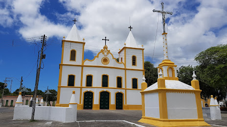
Coronel Fabriciano — School
Coronel Fabriciano — Tabatinga
Coronel Fabriciano — Parnamirim
Coronel Fabriciano — Campo Grande
Coronel Fabriciano — Penápolis
Coronel Fabriciano — Andradas
Coronel Fabriciano — Belo Vale
Coronel Fabriciano — Bela Vista do Paraíso
Coronel Fabriciano — Ibiraci
Coronel Fabriciano — Itatiba
Coronel Fabriciano — Curral de Dentro
Coronel Fabriciano — Atalanta
Coronel Fabriciano — Visconde do Rio Branco
Coronel Fabriciano — Pombal
Coronel Fabriciano — Independência
Coronel Fabriciano — Nova Santa Rita
Coronel Fabriciano — Araçoiaba da Serra
Coronel Fabriciano — Santana do Ipanema
Coronel Fabriciano — Mato Grosso
Santana do Paraíso
Ipaba
Naque
Valadares Governor
Frei Inocêncio
Jampruca
Campanário
Itambacuri
Teófilo Otoni
Padre Paraíso
Itaobim
Vitória da Conquista
Jequié
Santo Estêvão
Feira de Santana
Santa Bárbara
Serrinha
Teofilândia
Araci
Tucano
Euclides da Cunha
Salgueiro
Jati
Brejo Santo
Milagres
Barro
Pendência
Icó
Jaguaribe
Jaguaribe
Jaguaribara
Tabuleiro do Norte
Limoeiro do Norte
Russas
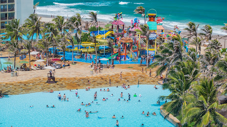
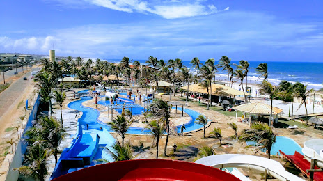
Beberibe
Coronel Fabriciano — School
Coronel Fabriciano — Tabatinga
Coronel Fabriciano — Parnamirim
Coronel Fabriciano — Campo Grande
Coronel Fabriciano — Penápolis
Coronel Fabriciano — Andradas
Coronel Fabriciano — Belo Vale
Coronel Fabriciano — Bela Vista do Paraíso
Coronel Fabriciano — Ibiraci
Coronel Fabriciano — Itatiba
Coronel Fabriciano — Curral de Dentro
Coronel Fabriciano — Atalanta
Coronel Fabriciano — Visconde do Rio Branco
Coronel Fabriciano — Pombal
Coronel Fabriciano — Independência
Coronel Fabriciano — Nova Santa Rita
Coronel Fabriciano — Araçoiaba da Serra
Coronel Fabriciano — Santana do Ipanema
Coronel Fabriciano — Mato Grosso
Santana do Paraíso
Ipaba
Naque
Valadares Governor
Frei Inocêncio
Jampruca
Campanário
Itambacuri
Teófilo Otoni
Padre Paraíso
Itaobim
Vitória da Conquista
Jequié
Santo Estêvão
Feira de Santana
Santa Bárbara
Serrinha
Teofilândia
Araci
Tucano
Euclides da Cunha
Salgueiro
Jati
Brejo Santo
Milagres
Barro
Pendência
Icó
Jaguaribe
Jaguaribe
Jaguaribara
Tabuleiro do Norte
Limoeiro do Norte
Russas
Beberibe
Coronel Fabriciano — Aquiraz distance, route on the map
Distance by car
Distance between Coronel Fabriciano, Minas Gerais, Brazil and Aquiraz, Ceará, Brazil by car is — km, or miles. To travel this distance by car, you need minute, or h.
Route on the map, driving directions
Car route Coronel Fabriciano — Aquiraz was created automatically. The road on the map is shown as a blue line. By moving the markers, you can create a new route through the points you need.
Passing cities through which the car route passes: Ipatinga, Santana do Paraíso, Ipaba, Naque, Valadares Governor, Frei Inocêncio, Jampruca, Campanário, Itambacuri, Teófilo Otoni, Padre Paraíso, Itaobim, Vitória da Conquista, Jequié, Santo Estêvão, Feira de Santana, Santa Bárbara, Serrinha, Teofilândia, Araci, Tucano, Euclides da Cunha, Salgueiro, Jati, Brejo Santo, Milagres, Barro, Pendência, Icó, Jaguaribe, Jaguaribe, Jaguaribara, Tabuleiro do Norte, Limoeiro do Norte, Russas, Beberibe.
Distance by plane
If you decide to take a trip Coronel Fabriciano Aquiraz by plane, then you have to fly the distance — 1797 km or 1114 miles. It is marked on the map with a gray line (between two points in a straight line).
Flight time
Estimated flight time Coronel Fabriciano Aquiraz by plane at cruising speed 750 km / h will be — 2 h. and 23 min.
Direction of movement
Brazil, Coronel Fabriciano — right-hand traffic. Brazil, Aquiraz — right-hand traffic.
Difference in time
Coronel Fabriciano and Aquiraz are in the same time zone. Between them there is no time difference (UTC -3 America/Sao_Paulo).
Interesting Facts
Information on alternative ways to get to your destination.
The length of this distance is about 4.5% of the total length of the equator.
The percentage of the population is clearly shown in the graph:
Coronel Fabriciano — 100,918, Aquiraz — 65,117 residents (less by 35,801).
The cost of travel
Calculate the cost of the trip yourself using the fuel consumption calculator, changing the data in the table.