Teutônia — Atalanta
Teutônia — Leopoldina
Teutônia — Alegre
Teutônia — Rolândia
Teutônia — Virgínia
Teutônia — Cabo Verde
Teutônia — Eldorado do Sul
Teutônia — São Caetano do Sul
Teutônia — Poranga
Teutônia — Jaguarão
Teutônia — Terra Roxa
Teutônia — Timburi
Teutônia — Indaial
Teutônia — Rio Acima
Teutônia — Cacoal
Teutônia — Estrada das Barreiras
Teutônia — Alto do Rodrigues
Teutônia — Buritis
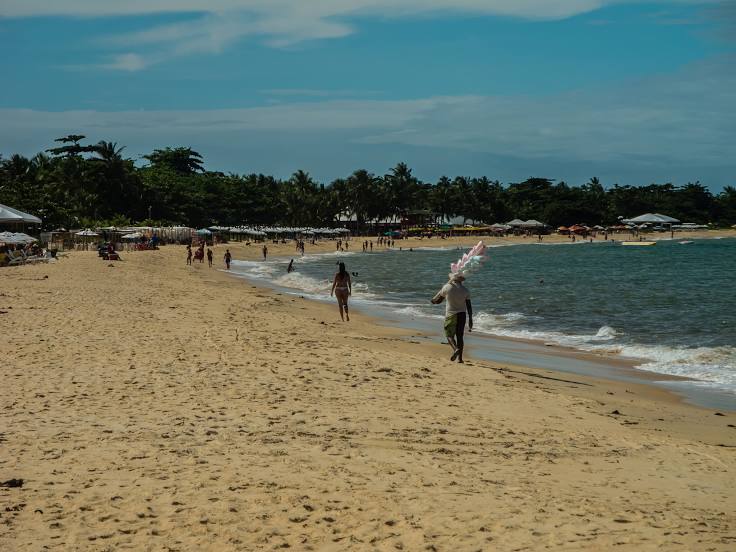
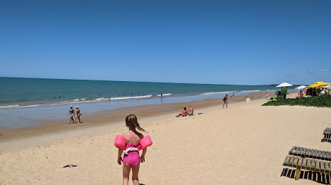
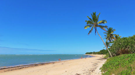
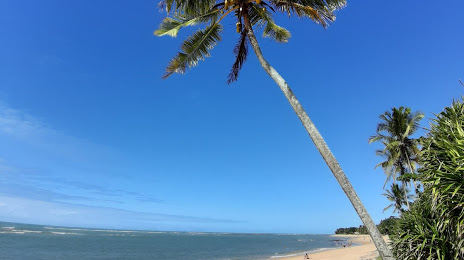
Teutônia — Jericoacoara Beach
Teutônia — Atalanta
Teutônia — Leopoldina
Teutônia — Alegre
Teutônia — Rolândia
Teutônia — Virgínia
Teutônia — Cabo Verde
Teutônia — Eldorado do Sul
Teutônia — São Caetano do Sul
Teutônia — Poranga
Teutônia — Jaguarão
Teutônia — Terra Roxa
Teutônia — Timburi
Teutônia — Indaial
Teutônia — Rio Acima
Teutônia — Cacoal
Teutônia — Estrada das Barreiras
Teutônia — Alto do Rodrigues
Teutônia — Buritis
Teutônia — Jericoacoara Beach
Teutônia — Porto Seguro distance, route on the map
Distance by car
Distance between Teutônia, Rio Grande do Sul, Brazil and Porto Seguro, Bahia, Brazil by car is — km, or miles. To travel this distance by car, you need minute, or h.
Route on the map, driving directions
Car route Teutônia — Porto Seguro was created automatically. The road on the map is shown as a blue line. By moving the markers, you can create a new route through the points you need.
Distance by plane
If you decide to take a trip Teutônia Porto Seguro by plane, then you have to fly the distance — 1945 km or 1206 miles. It is marked on the map with a gray line (between two points in a straight line).
Flight time
Estimated flight time Teutônia Porto Seguro by plane at cruising speed 750 km / h will be — 2 h. and 35 min.
Direction of movement
Brazil, Teutônia — right-hand traffic. Brazil, Porto Seguro — right-hand traffic.
Difference in time
Teutônia and Porto Seguro are in the same time zone. Between them there is no time difference (UTC -3 America/Sao_Paulo).
Interesting Facts
Information on alternative ways to get to your destination.
The length of this distance is about 4.9% of the total length of the equator.
The percentage of the population is clearly shown in the graph:
Teutônia — 21,834 (less by 101,362), Porto Seguro — 123,196 residents.
The cost of travel
Calculate the cost of the trip yourself using the fuel consumption calculator, changing the data in the table.