Greater Northdale — Jacksonville
Greater Northdale — Thomasville
Greater Northdale — Wheelersburg
Greater Northdale — Morgan Hill
Greater Northdale — Whiteriver
Greater Northdale — Netarts
Greater Northdale — McIntyre
Greater Northdale — Nimrod
Greater Northdale — Anselmo
Greater Northdale — Calaveras
Greater Northdale — Saint Martin
Greater Northdale — Parkdale
Greater Northdale — Renville
Greater Northdale — Amenia
Greater Northdale — Cottondale
Greater Northdale — Brooksville
Greater Northdale — Homestead
Greater Northdale — South Fork
Greater Northdale — Lexington
Lutz
Wesley Chapel
Nobleton
Sumter County
Wildwood
Ocala
Sparr
Citra
Lochloosa
Hawthorne
Earleton
Hampton
Starke
Lawtey
Jacksonville International Airport
Yulee
Kingsland
Brunswick
Riceboro
Richmond Hill
Pooler
Savannah/Hilton Head International Airport
Port Wentworth
Hardeeville
Yemassee
Adams Run
Ravenel
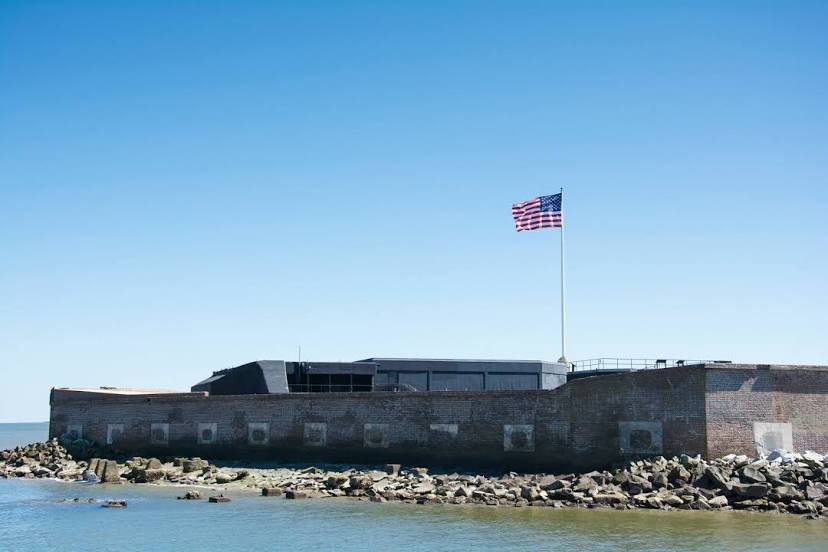
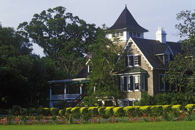
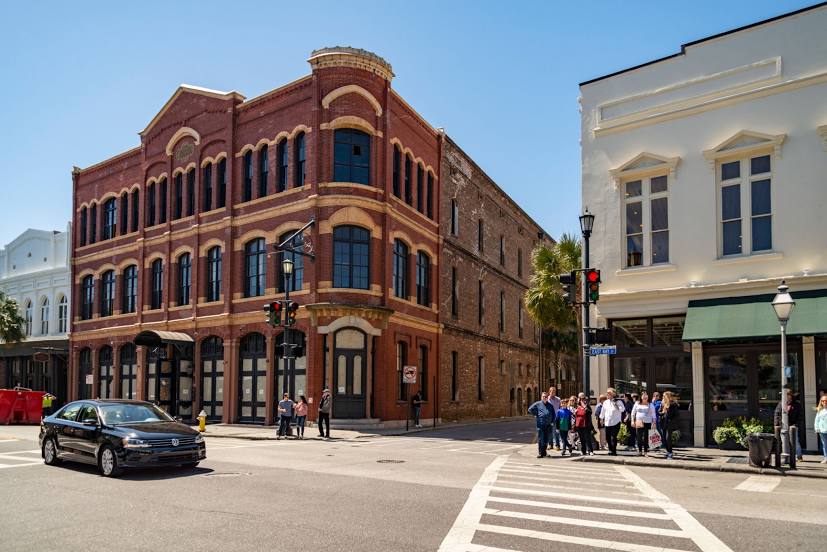
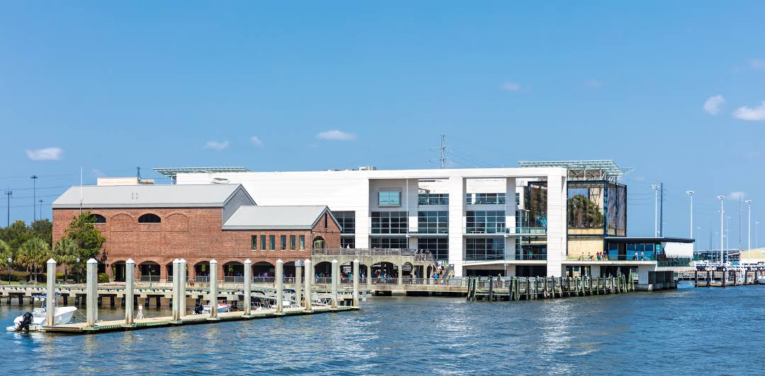
Greater Northdale — Charleston distance, route on the map
Distance by car
Distance between Greater Northdale, Florida, United States and Charleston, South Carolina, United States by car is — km, or miles. To travel this distance by car, you need minute, or h.
Route on the map, driving directions
Car route Greater Northdale — Charleston was created automatically. The road on the map is shown as a blue line. By moving the markers, you can create a new route through the points you need.
Passing cities through which the car route passes: University, Lutz, Wesley Chapel, Nobleton, Sumter County, Wildwood, Ocala, Sparr, Citra, Lochloosa, Hawthorne, Earleton, Hampton, Starke, Lawtey, Jacksonville International Airport, Yulee, Kingsland, Brunswick, Riceboro, Richmond Hill, Pooler, Savannah/Hilton Head International Airport, Port Wentworth, Hardeeville, Yemassee, Adams Run, Ravenel.
Distance by plane
If you decide to take a trip Greater Northdale Charleston by plane, then you have to fly the distance — 576 km or 357 miles. It is marked on the map with a gray line (between two points in a straight line).
Flight time
Estimated flight time Greater Northdale Charleston by plane at cruising speed 750 km / h will be — 46 min.
Direction of movement
United States, Greater Northdale — right-hand traffic. United States, Charleston — right-hand traffic.
Difference in time
Greater Northdale and Charleston are in the same time zone. Between them there is no time difference (UTC -4 America/New_York).
Interesting Facts
Information on alternative ways to get to your destination.
The length of this distance is about 1.4% of the total length of the equator.
The percentage of the population is clearly shown in the graph:
Greater Northdale — 22,079 (less by 82,703), Charleston — 104,782 residents.
The cost of travel
Calculate the cost of the trip yourself using the fuel consumption calculator, changing the data in the table.