Capão Novo — Agudo
Capão Novo — Caldas
Capão Novo — Catanduvas
Capão Novo — Ouro Verde
Capão Novo — Clevelândia
Capão Novo — Escuro
Capão Novo — Camocim
Capão Novo — Jundiá
Capão Novo — Salvador
Capão Novo — Gália
Capão Novo — Arroio Grande
Capão Novo — Lajeado
Capão Novo — Zortéa
Capão Novo — Correntina
Capão Novo — Riozinho
Capão Novo — Rio Branco
Capão Novo — Pernambuco
Capão Novo — Marechal Floriano
Capão Novo — Missionário
Torres
Torres
São João do Sul
Sombrio
Araranguá
Maracajá
Içara
Morro da Fumaça
Jaguaruna
Tubarão
Tubarão
Laguna
Imbituba
Ibiraquera
Paulo Lopes
Guarda do Embaú
Palhoça
São José
Biguaçu
Governador Celso Ramos
Tijucas
Meia Praia
Itapema
Itapema
Camboriú
Camboriú
Itajaí
Itajaí
Piçarras
Barra Velha
São João do Itaperiú
Joinville
Garuva
Marcelino
São José dos Pinhais
Piraquara
Quatro Barras
Campina Grande do Sul
Cajati
Registro
Miracatu
Juquitiba
São Lourenço da Serra
Embu das Artes
Taboão da Serra
Pestana
Carapicuiba
Rochdale
Cajamar
Francisco Morato
Várzea Paulista
Jarinu
Atibaia
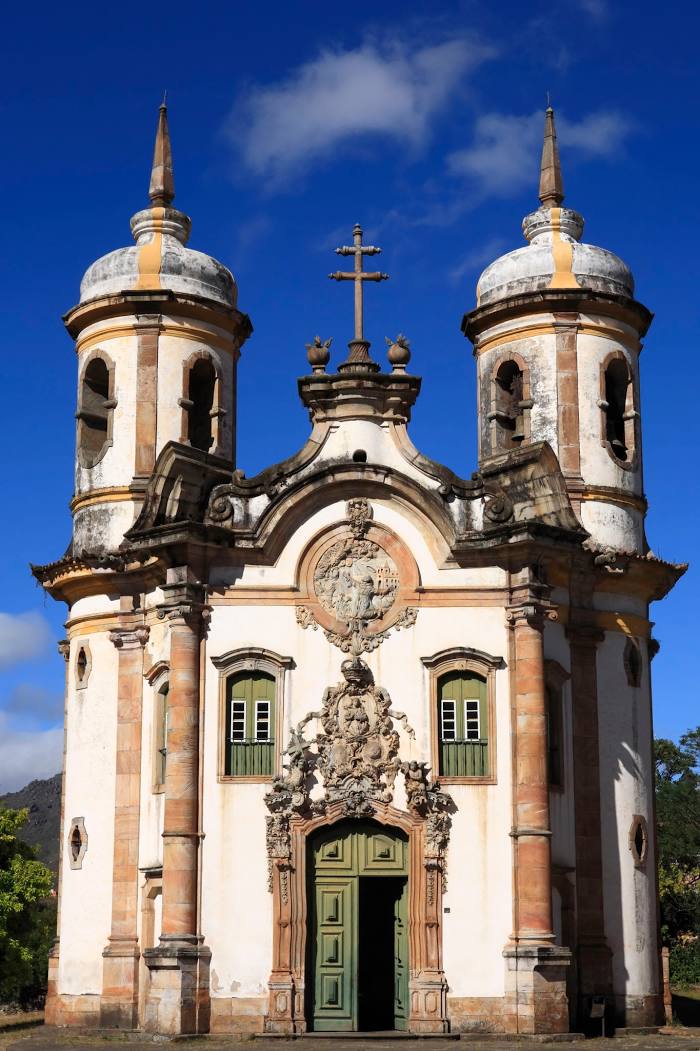
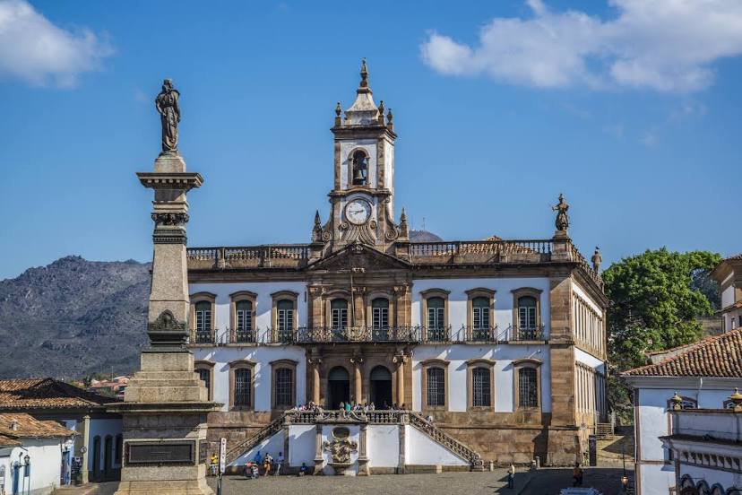
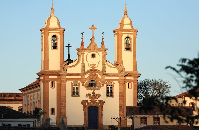
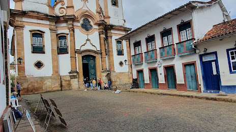
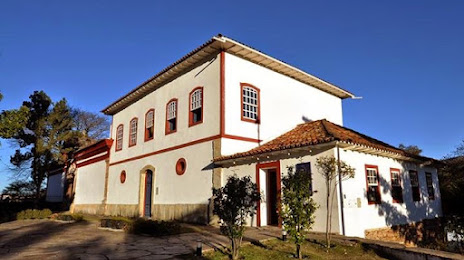
Capão Novo — Ouro Preto distance, route on the map
Distance by car
Distance between Capão Novo, Rio Grande do Sul, Brazil and Ouro Preto, Minas Gerais, Brazil by car is — km, or miles. To travel this distance by car, you need minute, or h.
Route on the map, driving directions
Car route Capão Novo — Ouro Preto was created automatically. The road on the map is shown as a blue line. By moving the markers, you can create a new route through the points you need.
Passing cities through which the car route passes: Arroio do Sal, Torres, Torres, São João do Sul, Sombrio, Araranguá, Maracajá, Içara, Morro da Fumaça, Jaguaruna, Tubarão, Tubarão, Laguna, Imbituba, Ibiraquera, Paulo Lopes, Guarda do Embaú, Palhoça, São José, Biguaçu, Governador Celso Ramos, Tijucas, Meia Praia, Itapema, Itapema, Camboriú, Camboriú, Itajaí, Itajaí, Piçarras, Barra Velha, São João do Itaperiú, Joinville, Garuva, Marcelino, São José dos Pinhais, Piraquara, Quatro Barras, Campina Grande do Sul, Cajati, Registro, Miracatu, Juquitiba, São Lourenço da Serra, Embu das Artes, Taboão da Serra, Pestana, Carapicuiba, Rochdale, Cajamar, Francisco Morato, Várzea Paulista, Jarinu, Atibaia.
Distance by plane
If you decide to take a trip Capão Novo Ouro Preto by plane, then you have to fly the distance — 1220 km or 756 miles. It is marked on the map with a gray line (between two points in a straight line).
Flight time
Estimated flight time Capão Novo Ouro Preto by plane at cruising speed 750 km / h will be — 1 h. and 37 min.
Direction of movement
Brazil, Capão Novo — right-hand traffic. Brazil, Ouro Preto — right-hand traffic.
Difference in time
Capão Novo and Ouro Preto are in the same time zone. Between them there is no time difference (UTC -3 America/Sao_Paulo).
Interesting Facts
Information on alternative ways to get to your destination.
The length of this distance is about 3.0% of the total length of the equator.
The cost of travel
Calculate the cost of the trip yourself using the fuel consumption calculator, changing the data in the table.