Riverside County — Cloverdale
Riverside County — Rollingstone
Riverside County — Arroyo Seco
Riverside County — Crestview
Riverside County — Sharpsburg
Riverside County — Owingsville
Riverside County — Cumberland
Riverside County — Opal
Riverside County — Prairie Hill
Riverside County — Wahiawā
Riverside County — Inavale
Riverside County — Leonard
Riverside County — Greencastle
Riverside County — Fish Creek
Riverside County — Scio
Riverside County — Adrian
Riverside County — West Chicago
Riverside County — Pierceton
Riverside County — Lake Orion
Colton
San Bernardino
Rialto
Lytle Creek
Cajon Junction
Hesperia
Victorville
Oro Grande
Hutt
Barstow
Daggett
Yermo
Baker Airport
Primm
Jean Airport
McCarran International Airport
Las Vegas
Las Vegas
Las Vegas
North Las Vegas
Las Vegas
Jackman
Mesquite
Saint George
Washington
Toquerville
Cedar City
Enoch
Parowan
Kanosh
Meadow
Scipio
Levan
Nephi
Mona
Santaquin
Payson
Spanish Fork
Springville
Provo
Orem
Lindon
American Fork
Lehi
Lehi
Bluffdale
Draper
South Jordan
Midvale
Salt Lake City
Murray
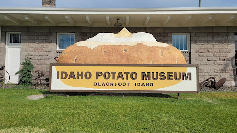
Riverside County — Blackfoot distance, route on the map
Distance by car
Distance between Riverside County, California, United States and Blackfoot, Idaho, United States by car is — km, or miles. To travel this distance by car, you need minute, or h.
Route on the map, driving directions
Car route Riverside County — Blackfoot was created automatically. The road on the map is shown as a blue line. By moving the markers, you can create a new route through the points you need.
Passing cities through which the car route passes: Riverside, Colton, San Bernardino, Rialto, Lytle Creek, Cajon Junction, Hesperia, Victorville, Oro Grande, Hutt, Barstow, Daggett, Yermo, Baker Airport, Primm, Jean Airport, McCarran International Airport, Las Vegas, Las Vegas, Las Vegas, North Las Vegas, Las Vegas, Jackman, Mesquite, Saint George, Washington, Toquerville, Cedar City, Enoch, Parowan, Kanosh, Meadow, Scipio, Levan, Nephi, Mona, Santaquin, Payson, Spanish Fork, Springville, Provo, Orem, Lindon, American Fork, Lehi, Lehi, Bluffdale, Draper, South Jordan, Midvale, Salt Lake City, Murray.
Distance by plane
If you decide to take a trip Riverside County Blackfoot by plane, then you have to fly the distance — 1117 km or 693 miles. It is marked on the map with a gray line (between two points in a straight line).
Flight time
Estimated flight time Riverside County Blackfoot by plane at cruising speed 750 km / h will be — 1 h. and 29 min.
Direction of movement
United States, Riverside County — right-hand traffic. United States, Blackfoot — right-hand traffic.
Difference in time
Riverside County and Blackfoot are in different time zones. The time difference is 1 hour (UTC -7 America/Los_Angeles, UTC -6 America/Denver).
Interesting Facts
Information on alternative ways to get to your destination.
The length of this distance is about 2.8% of the total length of the equator.
The cost of travel
Calculate the cost of the trip yourself using the fuel consumption calculator, changing the data in the table.