Itamaraju — Brasilia
Itamaraju — Baixa Grande
Itamaraju — Aquiraz
Itamaraju — Ruy Barbosa
Itamaraju — Minduri
Itamaraju — Paraipaba
Itamaraju — Curitiba
Itamaraju — General Salgado
Itamaraju — Araci
Itamaraju — Aljubarrota
Itamaraju — Pinheiro Machado
Itamaraju — Paulo Lopes
Itamaraju — Angelina
Itamaraju — Coromandel
Itamaraju — Mafra
Itamaraju — Rio Branco
Itamaraju — Barcelos
Itamaraju — Coronel Vivida
Itamaraju — Vargem Alta
Shell
Linhares
Guaraná
João Neiva
Ibiraçu
Fundão
Serra
Eldorado
Barcelona
Planalto de Carapina
Vitória
Itamaraju — Vila Velha distance, route on the map
Distance by car
Distance between Itamaraju, Bahia, Brazil and Vila Velha, Espírito Santo, Brazil by car is — km, or miles. To travel this distance by car, you need minute, or h.
Route on the map, driving directions
Car route Itamaraju — Vila Velha was created automatically. The road on the map is shown as a blue line. By moving the markers, you can create a new route through the points you need.
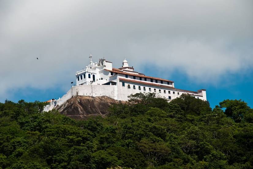
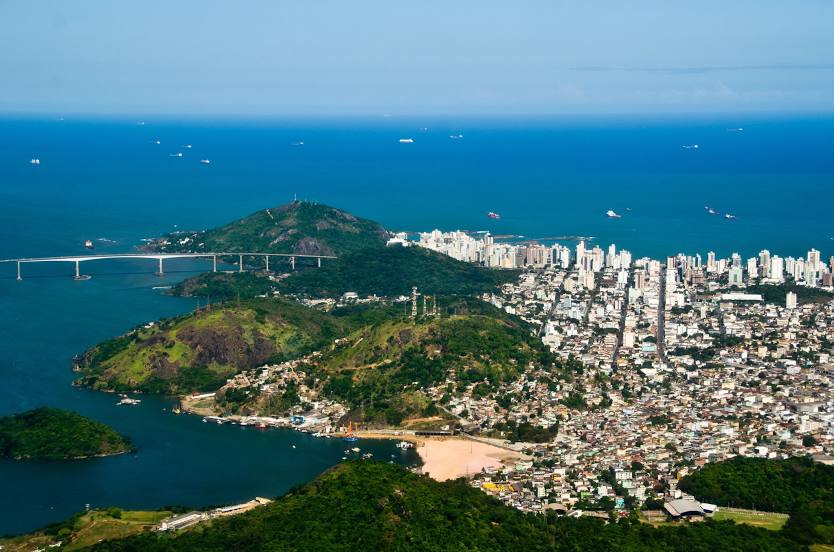
Passing cities through which the car route passes: São Mateus, Shell, Linhares, Guaraná, João Neiva, Ibiraçu, Fundão, Serra, Eldorado, Barcelona, Planalto de Carapina, Vitória.
Distance by plane
If you decide to take a trip Itamaraju Vila Velha by plane, then you have to fly the distance — 377 km or 234 miles. It is marked on the map with a gray line (between two points in a straight line).
Flight time
Estimated flight time Itamaraju Vila Velha by plane at cruising speed 750 km / h will be — 30 min.
Direction of movement
Brazil, Itamaraju — right-hand traffic. Brazil, Vila Velha — right-hand traffic.
Difference in time
Itamaraju and Vila Velha are in the same time zone. Between them there is no time difference (UTC -3 America/Fortaleza).
Interesting Facts
Information on alternative ways to get to your destination.
The length of this distance is about 0.9% of the total length of the equator.
The percentage of the population is clearly shown in the graph:
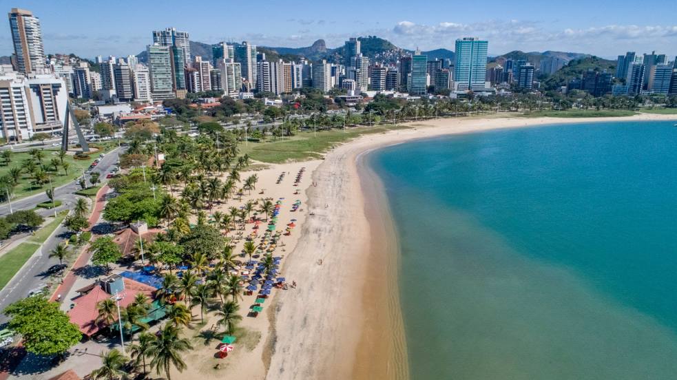
Itamaraju — 47,630 (less by 347,307), Vila Velha — 394,937 residents.
The cost of travel
Calculate the cost of the trip yourself using the fuel consumption calculator, changing the data in the table.