Catemaco — Revolcaderos
Catemaco — Unión Juárez
Catemaco — Ranchito de Coronados
Catemaco — Emancipación
Catemaco — Sinanché
Catemaco — Cochico
Catemaco — Tula
Catemaco — General Escobedo
Catemaco — Acapulco
Catemaco — Ciudad Guadalupe Victoria
Catemaco — Pedregoso
Catemaco — Ixhuatlán de Madero
Catemaco — Tecolutla
Catemaco — El Sauz
Catemaco — Bustamante
Catemaco — El Arenal
Catemaco — Salazar
Catemaco — Lo de Vega
Catemaco — Santa María Guienagati
San Andres Tuxtla
Santiago Tuxtla
Lerdo de Tejada
Alvarado
Alvarado
Paso del Toro
El Tejar
Veracruz International Airport
Santa Rita
Delfino Victoria
San Julián
José Cardel
Palma Sola
Vega de Alatorre
Nautla
Casitas
La Vigueta
Tecolutla
Gutiérrez Zamora
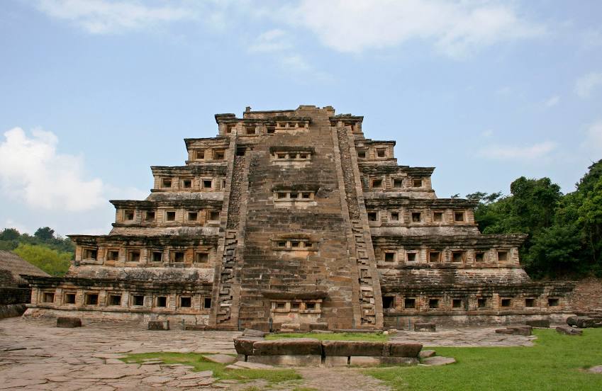
Catemaco — Papantla de Olarte distance, route on the map
Distance by car
Distance between Catemaco, Veracruz, Mexico and Papantla de Olarte, Veracruz, Mexico by car is — km, or miles. To travel this distance by car, you need minute, or h.
Route on the map, driving directions
Car route Catemaco — Papantla de Olarte was created automatically. The road on the map is shown as a blue line. By moving the markers, you can create a new route through the points you need.
Passing cities through which the car route passes: Calería, San Andres Tuxtla, Santiago Tuxtla, Lerdo de Tejada, Alvarado, Alvarado, Paso del Toro, El Tejar, Veracruz International Airport, Santa Rita, Delfino Victoria, San Julián, José Cardel, Palma Sola, Vega de Alatorre, Nautla, Casitas, La Vigueta, Tecolutla, Gutiérrez Zamora.
Distance by plane
If you decide to take a trip Catemaco Papantla de Olarte by plane, then you have to fly the distance — 323 km or 200 miles. It is marked on the map with a gray line (between two points in a straight line).
Flight time
Estimated flight time Catemaco Papantla de Olarte by plane at cruising speed 750 km / h will be — 25 min.
Direction of movement
Mexico, Catemaco — right-hand traffic. Mexico, Papantla de Olarte — right-hand traffic.
Difference in time
Catemaco and Papantla de Olarte are in the same time zone. Between them there is no time difference (UTC -6 America/Mexico_City).
Interesting Facts
Information on alternative ways to get to your destination.
The length of this distance is about 0.8% of the total length of the equator.
The percentage of the population is clearly shown in the graph:
Catemaco — 24,258 (less by 23,700), Papantla de Olarte — 47,958 residents.
The cost of travel
Calculate the cost of the trip yourself using the fuel consumption calculator, changing the data in the table.