Ciudad Mier — Cologne Apatzingán
Ciudad Mier — Tomatlán
Ciudad Mier — Perote
Ciudad Mier — Luis Gil Pérez
Ciudad Mier — Huexca
Ciudad Mier — Holbox
Ciudad Mier — San Luis Potosi
Ciudad Mier — San Pedro
Ciudad Mier — El Molino
Ciudad Mier — Tanquián de Escobedo
Ciudad Mier — Tezonapa
Ciudad Mier — San Ignacio
Ciudad Mier — Zaragoza
Ciudad Mier — Ocoyoacac
Ciudad Mier — Las Coloradas
Ciudad Mier — Coatepec
Ciudad Mier — Alvarado
Ciudad Mier — Sierra Mojada Municipality
Ciudad Mier — El Rodeo
Cerralvo Municipality
Doctor González
Marín
Fishery
Monterrey International Airport
Monterrey
Apodaca
Apodaca
General Escobedo
La Concordia
Hacienda de San Juan de Buenavista
Aeropuerto Saltillo “Plan de Guadalupe”
Ramos Arizpe
Saltillo
Saltillo
Saltillo
Concepción del Oro Municipality
Villa de Cos
De Guerreros
Guadalupe
Cosío
Escaleras
Rincon de Romos
Pabellón de Arteaga
Arteaga Pavilion
San Francisco de los Romo
San Francisco de los Romo
Jesús Gómez Portugal
Special Development Galleries
Aguascalientes
Lic. Jesús Terán Peredo International Airport
Encarnación de Díaz
Santa Bárbara
San Juan de los Lagos
Jalostotitlán
Valle de Guadalupe
Tepatitlan de Morelos
Cuatro Caminos
Tierras Coloradas
Acatic
Zapotlanejo
La Laja
Puente Grande
Tonalá
Tlaquepaque
Tlaquepaque
Las Pintitas
Santa Cruz del Valle
Railway
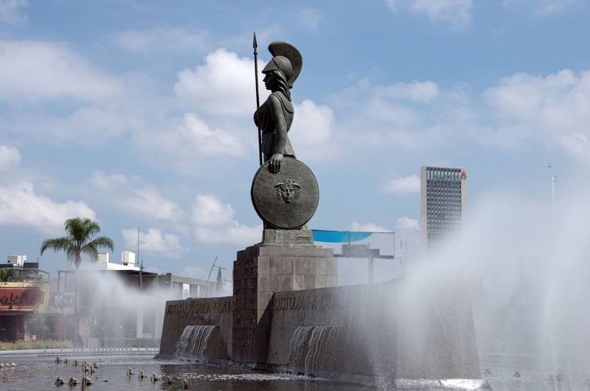
Guadalajara
Ciudad Mier — Cologne Apatzingán
Ciudad Mier — Tomatlán
Ciudad Mier — Perote
Ciudad Mier — Luis Gil Pérez
Ciudad Mier — Huexca
Ciudad Mier — Holbox
Ciudad Mier — San Luis Potosi
Ciudad Mier — San Pedro
Ciudad Mier — El Molino
Ciudad Mier — Tanquián de Escobedo
Ciudad Mier — Tezonapa
Ciudad Mier — San Ignacio
Ciudad Mier — Zaragoza
Ciudad Mier — Ocoyoacac
Ciudad Mier — Las Coloradas
Ciudad Mier — Coatepec
Ciudad Mier — Alvarado
Ciudad Mier — Sierra Mojada Municipality
Ciudad Mier — El Rodeo
Cerralvo Municipality
Doctor González
Marín
Fishery
Monterrey International Airport
Monterrey
Apodaca
Apodaca
General Escobedo
La Concordia
Hacienda de San Juan de Buenavista
Aeropuerto Saltillo “Plan de Guadalupe”
Ramos Arizpe
Saltillo
Saltillo
Saltillo
Concepción del Oro Municipality
Villa de Cos
De Guerreros
Guadalupe
Cosío
Escaleras
Rincon de Romos
Pabellón de Arteaga
Arteaga Pavilion
San Francisco de los Romo
San Francisco de los Romo
Jesús Gómez Portugal
Special Development Galleries
Aguascalientes
Lic. Jesús Terán Peredo International Airport
Encarnación de Díaz
Santa Bárbara
San Juan de los Lagos
Jalostotitlán
Valle de Guadalupe
Tepatitlan de Morelos
Cuatro Caminos
Tierras Coloradas
Acatic
Zapotlanejo
La Laja
Puente Grande
Tonalá
Tlaquepaque
Tlaquepaque
Las Pintitas
Santa Cruz del Valle
Railway
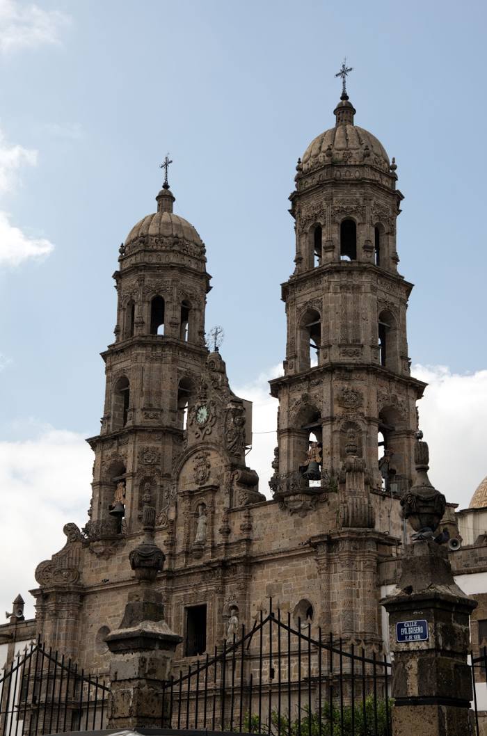
Guadalajara
Ciudad Mier — Zapopan distance, route on the map
Distance by car
Distance between Ciudad Mier, Tamaulipas, Mexico and Zapopan, Jalisco, Mexico by car is — km, or miles. To travel this distance by car, you need minute, or h.
Route on the map, driving directions
Car route Ciudad Mier — Zapopan was created automatically. The road on the map is shown as a blue line. By moving the markers, you can create a new route through the points you need.
Passing cities through which the car route passes: General Treviño, Cerralvo Municipality, Doctor González, Marín, Fishery, Monterrey International Airport, Monterrey, Apodaca, Apodaca, General Escobedo, La Concordia, Hacienda de San Juan de Buenavista, Aeropuerto Saltillo “Plan de Guadalupe”, Ramos Arizpe, Saltillo, Saltillo, Saltillo, Concepción del Oro Municipality, Villa de Cos, De Guerreros, Guadalupe, Cosío, Escaleras, Rincon de Romos, Pabellón de Arteaga, Arteaga Pavilion, San Francisco de los Romo, San Francisco de los Romo, Jesús Gómez Portugal, Special Development Galleries, Aguascalientes, Lic. Jesús Terán Peredo International Airport, Encarnación de Díaz, Santa Bárbara, San Juan de los Lagos, Jalostotitlán, Valle de Guadalupe, Tepatitlan de Morelos, Cuatro Caminos, Tierras Coloradas, Acatic, Zapotlanejo, La Laja, Puente Grande, Tonalá, Tlaquepaque, Tlaquepaque, Las Pintitas, Santa Cruz del Valle, Railway, Guadalajara.
Distance by plane
If you decide to take a trip Ciudad Mier Zapopan by plane, then you have to fly the distance — 774 km or 480 miles. It is marked on the map with a gray line (between two points in a straight line).
Flight time
Estimated flight time Ciudad Mier Zapopan by plane at cruising speed 750 km / h will be — 1 h. and 1 min.
Direction of movement
Mexico, Ciudad Mier — right-hand traffic. Mexico, Zapopan — right-hand traffic.
Difference in time
Ciudad Mier and Zapopan are in the same time zone. Between them there is no time difference (UTC -6 America/Mexico_City).
Interesting Facts
Information on alternative ways to get to your destination.
The length of this distance is about 1.9% of the total length of the equator.
The cost of travel
Calculate the cost of the trip yourself using the fuel consumption calculator, changing the data in the table.