
 El Dorado
Envigado
Soacha
Bavaria
La Costa
Alcantarilla
Cienaga
Florencia
Riosucio
Popayán
Villavicencio
Manizales
Girardot
Buga
Yumbo
Medellín
Cali
Bucaramanga
Barranquilla
El Dorado
Envigado
Soacha
Bavaria
La Costa
Alcantarilla
Cienaga
Florencia
Riosucio
Popayán
Villavicencio
Manizales
Girardot
Buga
Yumbo
Medellín
Cali
Bucaramanga
Barranquilla
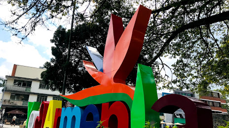
Armenia on the map, Colombia
Where is located Armenia
Exact location — Armenia, Armenia, Quindío, Colombia, marked on the map with a red marker.
Coordinates
Armenia, Colombia coordinates in decimal format: latitude — 4.5322, longitude — -75.67259. When converted to degrees, minutes, seconds Armenia has the following coordinates: 4°31′55.92 north latitude and -75°40′21.32 east longitude.
Population
Armenia, Armenia, Quindío, Colombia, according to our data the population is — 315,332 residents, which is about 0.6% of the total population of the country (Colombia).
Comparison of the population on the graph:
Exact time
Time zone for this location Armenia — UTC -5 America/Bogota. Exact time — friday, 4 april 2024 year, 06 h. 11 minutes.
Sunrise and sunset
Armenia, sunrise and sunset data for a date — friday 26.04.2024.
| Sunrise | Sunset | Day (duration) |
|---|---|---|
| 05:54 -1 minute | 18:05 -1 minute | 12 h. 12 minutes. -0 minutes |
You can control the scale of the map using the auxiliary tools to find out exactly where it is located Armenia. When you change the scale of the map, the width of the ruler also changes (in kilometers and miles).
Nearby cities
The largest cities that are located nearby:
- Pereira — 31 km
- Dos Quebradas — 34 km
- Cartago — 36 km
- Ibagué — 50 km
- Manizales — 62 km
- Tuluá — 76 km
- Buga — 98 km
- Girardot — 99 km
- Palmira — 131 km
- Cali — 153 km
- Soacha — 160 km
- Buenaventura — 170 km
- Itagüi — 181 km
- Envigado — 182 km
- Neiva — 183 km
- Medellín — 193 km
- Bello — 200 km
- Villavicencio — 230 km
- Popayán — 253 km
Distance to neighboring capitals:
- Quito
 (Ecuador) — 609 km
 - Panama
 (Panama) — 652 km
 - San Jose
 (Costa Rica) — 1106 km
 - Caracas
 (Venezuela) — 1171 km
 - Georgetown
 (Guyana) — 1954 km
 - Nuestra Señora de La Paz
 (Bolivia) — 2481 km
 - Asuncion
 (Paraguay) — 3848 km
 - Santiago
 (Chile) — 4256 km
 - Buenos Aires
 (Argentina) — 4715 km
 - Montevideo
 (Uruguay) — 4838 km
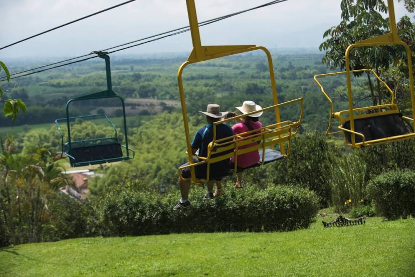
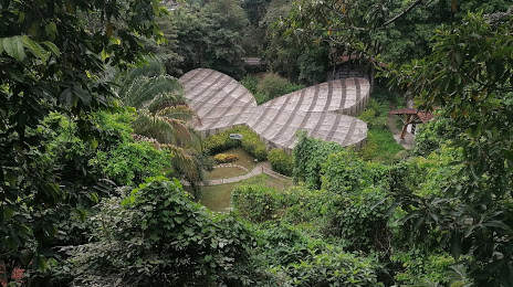
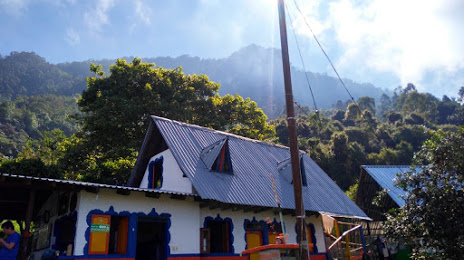
Attractions


Distance to the capital
Distance to the capital (Bogota) is about — 177 km.