
 Duitama
Barrancabermeja
Cúcuta
Estrella
Monteria
Tulua
Santa Marta
Armenia
Chia
Duitama
Barrancabermeja
Cúcuta
Estrella
Monteria
Tulua
Santa Marta
Armenia
Chia
Bucaramanga on the map, Colombia
Where is located Bucaramanga
Exact location — Bucaramanga, Bucaramanga, Santander, Colombia, marked on the map with a red marker.
Coordinates
Bucaramanga, Colombia coordinates in decimal format: latitude — 7.1297, longitude — -73.12577. When converted to degrees, minutes, seconds Bucaramanga has the following coordinates: 7°7′46.92 north latitude and -73°7′32.77 east longitude.
Population
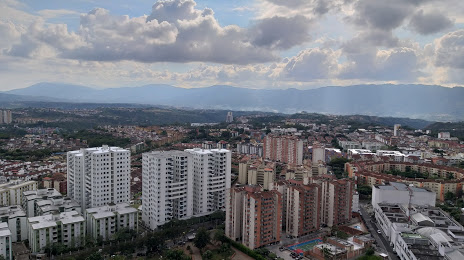
Bucaramanga, Bucaramanga, Santander, Colombia, according to our data the population is — 571,827 residents, which is about 1.1% of the total population of the country (Colombia).
Comparison of the population on the graph:
Exact time
Time zone for this location Bucaramanga — UTC -5 America/Bogota. Exact time — saturday, 4 april 2024 year, 02 h. 03 minutes.
Sunrise and sunset
Bucaramanga, sunrise and sunset data for a date — saturday 27.04.2024.
| Sunrise | Sunset | Day (duration) |
|---|---|---|
| 05:41 -1 minute | 17:58 -0 minutes | 12 h. 18 minutes. +1 minute |
You can control the scale of the map using the auxiliary tools to find out exactly where it is located Bucaramanga. When you change the scale of the map, the width of the ruler also changes (in kilometers and miles).
Nearby cities
The largest cities that are located nearby:
- Giron — 8 km
- Floridablanca — 9 km
- Barrancabermeja — 80 km
- Cúcuta — 108 km
- San Cristobal
 (Venezuela) — 121 km
 - Sogamoso — 157 km
- Tunja — 177 km
- Ejido (Venezuela) — 259 km
- Merida (Venezuela) — 270 km
- Bello — 281 km
- Medellín — 285 km
- Envigado — 291 km
- Magangué — 293 km
- Itagüi — 294 km
- Soacha — 306 km
- Villavicencio — 335 km
- Sincelejo — 345 km
- Manizales — 348 km
- Monteria — 351 km
Distance to neighboring capitals:
- Panama
 (Panama) — 733 km
 - Caracas (Venezuela) — 778 km
- Quito
 (Ecuador) — 1006 km
 - San Jose
 (Costa Rica) — 1245 km
 - Georgetown
 (Guyana) — 1652 km
 - Nuestra Señora de La Paz
 (Bolivia) — 2685 km
 - Asuncion
 (Paraguay) — 3977 km
 - Santiago
 (Chile) — 4520 km
 - Buenos Aires
 (Argentina) — 4894 km
 - Montevideo
 (Uruguay) — 5003 km
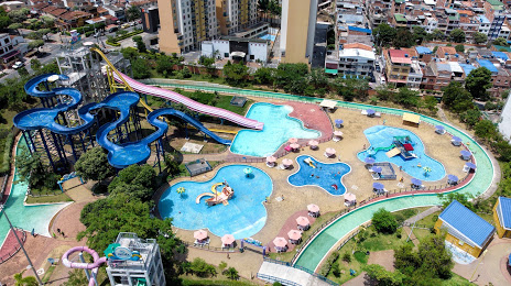
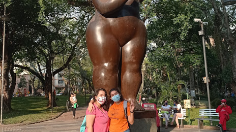
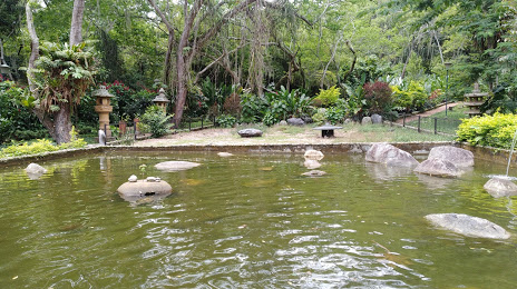
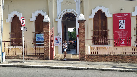
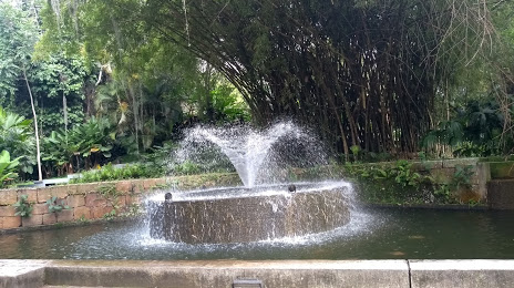
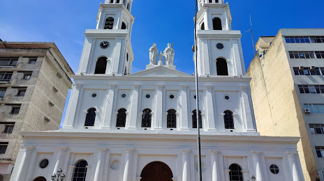
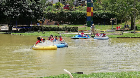
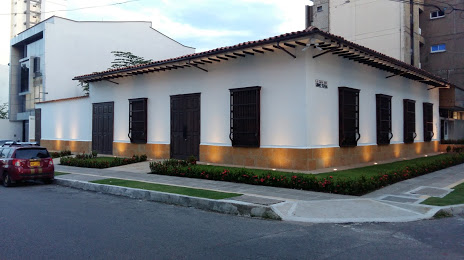
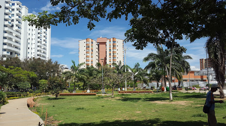
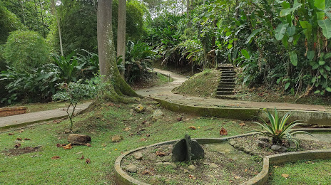
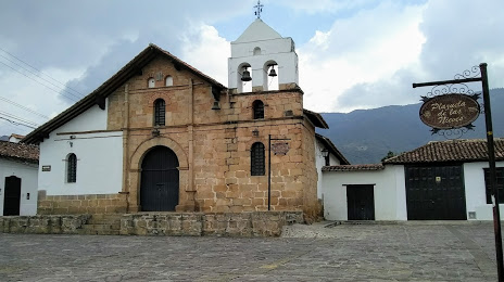
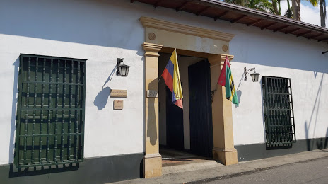
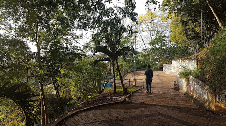
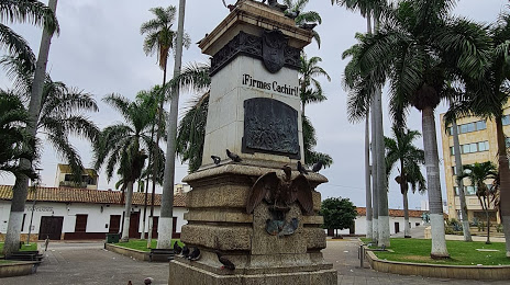
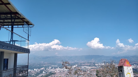
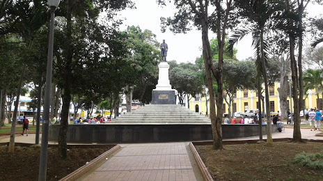
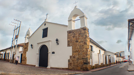
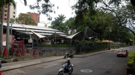
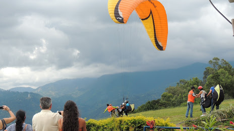
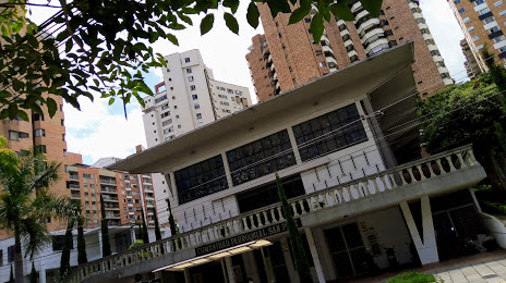
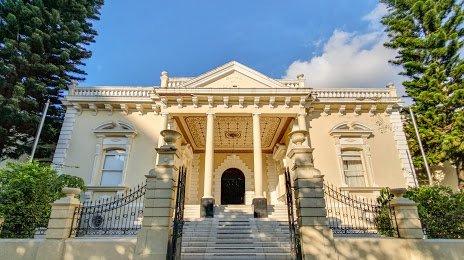
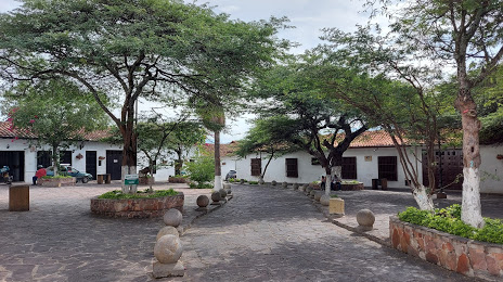
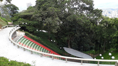
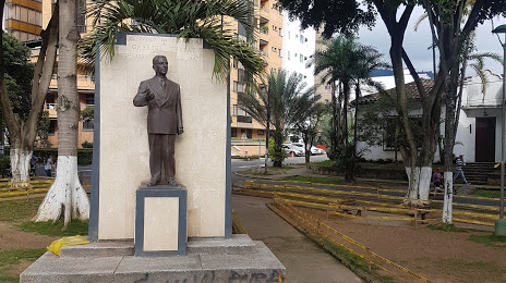
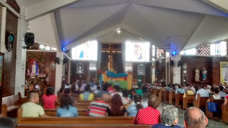
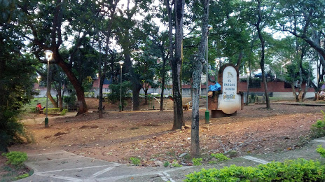
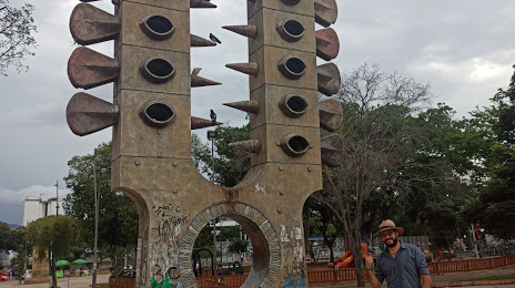
Attractions


Distance to the capital
Distance to the capital (Bogota) is about — 301 km.