
 Facatativá
Santa Marta
Yopal
San Gil
Buenaventura
El Dorado
Envigado
Soacha
Bavaria
Yumbo
Medellín
Cali
Bucaramanga
Barranquilla
Tocancipa
Neiva
Valle del Cauca
Pereira
Cartagena
Facatativá
Santa Marta
Yopal
San Gil
Buenaventura
El Dorado
Envigado
Soacha
Bavaria
Yumbo
Medellín
Cali
Bucaramanga
Barranquilla
Tocancipa
Neiva
Valle del Cauca
Pereira
Cartagena
Cúcuta on the map, Colombia
Where is located Cúcuta
Exact location — Cúcuta, Cúcuta, Norte de Santander, Colombia, marked on the map with a red marker.
Coordinates
Cúcuta, Colombia coordinates in decimal format: latitude — 7.88329, longitude — -72.50522. When converted to degrees, minutes, seconds Cúcuta has the following coordinates: 7°52′59.84 north latitude and -72°30′18.79 east longitude.
Population
Cúcuta, Cúcuta, Norte de Santander, Colombia, according to our data the population is — 721,406 residents, which is about 1.4% of the total population of the country (Colombia).
Comparison of the population on the graph:
Exact time
Time zone for this location Cúcuta — UTC -5 America/Bogota. Exact time — friday, 4 april 2024 year, 02 h. 42 minutes.
Sunrise and sunset
Cúcuta, sunrise and sunset data for a date — friday 26.04.2024.
| Sunrise | Sunset | Day (duration) |
|---|---|---|
| 05:38 -1 minute | 17:56 -0 minutes | 12 h. 18 minutes. +1 minute |
You can control the scale of the map using the auxiliary tools to find out exactly where it is located Cúcuta. When you change the scale of the map, the width of the ruler also changes (in kilometers and miles).
Nearby cities
The largest cities that are located nearby:
- San Cristobal
 (Venezuela) — 33 km
 - Bucaramanga — 108 km
- Floridablanca — 111 km
- Giron — 116 km
- Ejido (Venezuela) — 156 km
- Merida (Venezuela) — 168 km
- Barrancabermeja — 174 km
- Sogamoso — 244 km
- Barinas (Venezuela) — 261 km
- Tunja — 275 km
- Magangué — 288 km
- Valledupar — 298 km
- Cabimas (Venezuela) — 299 km
- Maracaibo (Venezuela) — 318 km
- Guanare (Venezuela) — 329 km
- Sincelejo — 353 km
- Bello — 377 km
- Medellín — 381 km
- Monteria — 381 km
Distance to neighboring capitals:
- Caracas (Venezuela) — 678 km
- Panama
 (Panama) — 781 km
 - Quito
 (Ecuador) — 1114 km
 - San Jose
 (Costa Rica) — 1293 km
 - Georgetown
 (Guyana) — 1586 km
 - Nuestra Señora de La Paz
 (Bolivia) — 2754 km
 - Asuncion
 (Paraguay) — 4026 km
 - Santiago
 (Chile) — 4600 km
 - Buenos Aires
 (Argentina) — 4954 km
 - Montevideo
 (Uruguay) — 5059 km
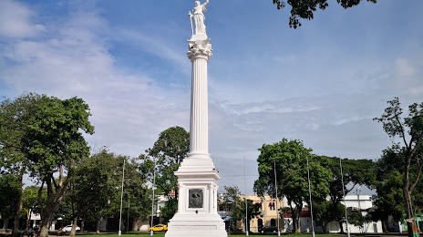
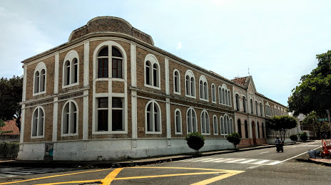
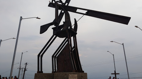
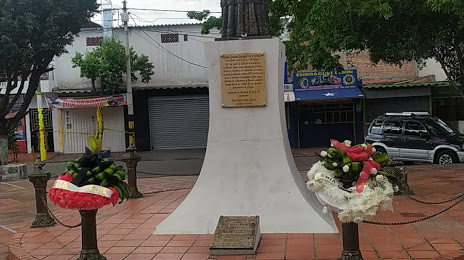
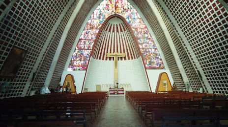
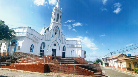
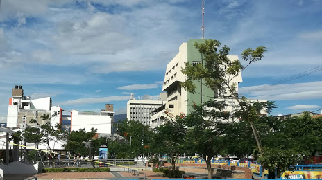
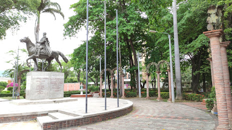
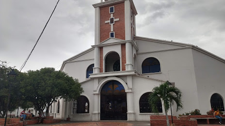
Attractions


Distance to the capital
Distance to the capital (Bogota) is about — 405 km.