Quetzaltenango — Tahuexco
Quetzaltenango — San Miguel Acatán
Quetzaltenango — Sololá
Quetzaltenango — Santa Lucía La Reforma
Quetzaltenango — Cocales
Quetzaltenango — Valle Nuevo
Quetzaltenango — Panajachel
Quetzaltenango — Chispan
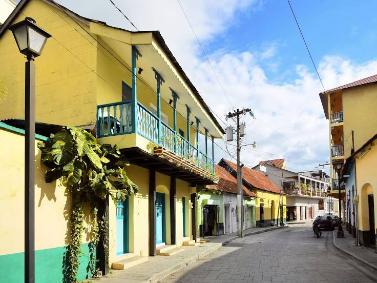
Quetzaltenango — Guatemala
Quetzaltenango — Puerto Quetzal
Quetzaltenango — Santa Catarina Ixtahuacan
Quetzaltenango — Chiquimula
Quetzaltenango — San Francisco
Quetzaltenango — San Juan Ostuncalco
Quetzaltenango — Aguacate
Quetzaltenango — Tamahú
Quetzaltenango — Alotenango
Quetzaltenango — Cantel
Quetzaltenango — Escuintla
Cuatro Caminos
San Cristóbal Totonicapán
Totonicapan
Patzité
Santa Cruz del Quiché
San Pedro Jocopilas
Santa Lucía La Reforma
Sacapulas
Cunén
Uspantan
Chicaman
San Cristobal Verapaz
Santa Cruz Verapaz
Cobán
Cobán
Cobán
Cubilhuitz
Chisec
Xuctzul
Raxruhá
Las Pozas
Sayaxché
El Subin
La Libertad
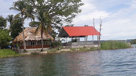
San Francisco
Quetzaltenango — Tahuexco
Quetzaltenango — San Miguel Acatán
Quetzaltenango — Sololá
Quetzaltenango — Santa Lucía La Reforma
Quetzaltenango — Cocales
Quetzaltenango — Valle Nuevo
Quetzaltenango — Panajachel
Quetzaltenango — Chispan
Quetzaltenango — Guatemala
Quetzaltenango — Puerto Quetzal
Quetzaltenango — Santa Catarina Ixtahuacan
Quetzaltenango — Chiquimula
Quetzaltenango — San Francisco
Quetzaltenango — San Juan Ostuncalco
Quetzaltenango — Aguacate
Quetzaltenango — Tamahú
Quetzaltenango — Alotenango
Quetzaltenango — Cantel
Quetzaltenango — Escuintla
Cuatro Caminos
San Cristóbal Totonicapán
Totonicapan
Patzité
Santa Cruz del Quiché
San Pedro Jocopilas
Santa Lucía La Reforma
Sacapulas
Cunén
Uspantan
Chicaman
San Cristobal Verapaz
Santa Cruz Verapaz
Cobán
Cobán
Cobán
Cubilhuitz
Chisec
Xuctzul
Raxruhá
Las Pozas
Sayaxché
El Subin
La Libertad
San Francisco
Quetzaltenango — Saint Benedict distance, route on the map
Distance by car
Distance between Quetzaltenango, Quetzaltenango, Guatemala and Saint Benedict, Peten, Guatemala by car is — km, or miles. To travel this distance by car, you need minute, or h.
Route on the map, driving directions
Car route Quetzaltenango — Saint Benedict was created automatically. The road on the map is shown as a blue line. By moving the markers, you can create a new route through the points you need.
Passing cities through which the car route passes: Salcajá, Cuatro Caminos, San Cristóbal Totonicapán, Totonicapan, Patzité, Santa Cruz del Quiché, San Pedro Jocopilas, Santa Lucía La Reforma, Sacapulas, Cunén, Uspantan, Chicaman, San Cristobal Verapaz, Santa Cruz Verapaz, Cobán, Cobán, Cobán, Cubilhuitz, Chisec, Xuctzul, Raxruhá, Las Pozas, Sayaxché, El Subin, La Libertad, San Francisco.
Distance by plane
If you decide to take a trip Quetzaltenango Saint Benedict by plane, then you have to fly the distance — 288 km or 179 miles. It is marked on the map with a gray line (between two points in a straight line).
Flight time
Estimated flight time Quetzaltenango Saint Benedict by plane at cruising speed 750 km / h will be — 23 min.
Direction of movement
Guatemala, Quetzaltenango — right-hand traffic. Guatemala, Saint Benedict — right-hand traffic.
Difference in time
Quetzaltenango and Saint Benedict are in the same time zone. Between them there is no time difference (UTC -6 America/Guatemala).
Interesting Facts
Information on alternative ways to get to your destination.
The length of this distance is about 0.7% of the total length of the equator.
The percentage of the population is clearly shown in the graph:
Quetzaltenango — 132,231, Saint Benedict — 30,764 residents (less by 101,467).
The cost of travel
Calculate the cost of the trip yourself using the fuel consumption calculator, changing the data in the table.