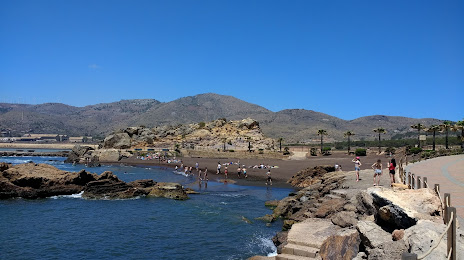
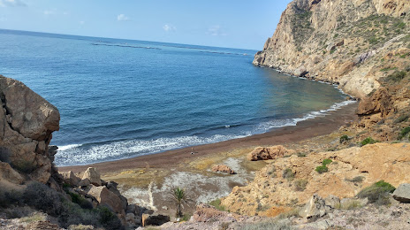
Aigües — Mundaka
Aigües — Pajares
Aigües — Páramo del Sil
Aigües — Escañuela
Aigües — Norís
Aigües — El Saucejo
Aigües — Galve de Sorbe
Aigües — Eterna
Aigües — San Martín de Trevejo
Aigües — Viseo
Aigües — Albolote
Aigües — Marbella
Aigües — Sant Joan Samora
Aigües — Cordovilla
Aigües — Santa María de Garoña
Aigües — Aldeanueva del Codonal
Aigües — Santo Domingo
Aigües — El Berrueco
Aigües — Almería
Mutxamel
Sant Joan d'Alacant
Santa Faz
El Palamo
San Vicente del Raspeig / Sant Vicent del Raspeig
Sant Vicent del Raspeig
Alicante
El Bacarot
Torre del Pla
Elx
Crevillent
El Realenc
San Isidro
Dolores
Almoradí
Daya Nueva
Formentera del Segura
Benijófar
Los Montesinos
San Miguel de Salinas
Villamartín
Orihuela
La Zenia
Dehesa de Campoamor
Mil Palmeras
Pilar de la Horadada
El Mojón
San Pedro del Pinatar
San Javier
Los Alcázares
Los Urrutias
El Algar
Aigües — La Unión distance, route on the map
Distance by car
Distance between Aigües, Valencian Community, Spain and La Unión, Región de Murcia, Spain by car is — km, or miles. To travel this distance by car, you need minute, or h.
Route on the map, driving directions
Car route Aigües — La Unión was created automatically. The road on the map is shown as a blue line. By moving the markers, you can create a new route through the points you need.
Passing cities through which the car route passes: El Campello, Mutxamel, Sant Joan d'Alacant, Santa Faz, El Palamo, San Vicente del Raspeig / Sant Vicent del Raspeig, Sant Vicent del Raspeig, Alicante, El Bacarot, Torre del Pla, Elx, Crevillent, El Realenc, San Isidro, Dolores, Almoradí, Daya Nueva, Formentera del Segura, Benijófar, Los Montesinos, San Miguel de Salinas, Villamartín, Orihuela, La Zenia, Dehesa de Campoamor, Mil Palmeras, Pilar de la Horadada, El Mojón, San Pedro del Pinatar, San Javier, Los Alcázares, Los Urrutias, El Algar.
Distance by plane
If you decide to take a trip Aigües La Unión by plane, then you have to fly the distance — 108 km or 67 miles. It is marked on the map with a gray line (between two points in a straight line).
Flight time
Estimated flight time Aigües La Unión by plane at cruising speed 750 km / h will be — 8 min.
Direction of movement
Spain, Aigües — right-hand traffic. Spain, La Unión — right-hand traffic.
Difference in time
Aigües and La Unión are in the same time zone. Between them there is no time difference (UTC +2 Europe/Madrid).
Interesting Facts
Information on alternative ways to get to your destination.
The length of this distance is about 0.3% of the total length of the equator.
The cost of travel
Calculate the cost of the trip yourself using the fuel consumption calculator, changing the data in the table.