Camargo — The Aguajito
Camargo — Maní
Camargo — Palo Alto
Camargo — Santiago de Querétaro
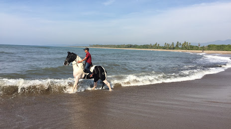
Camargo — Punta Abreojos
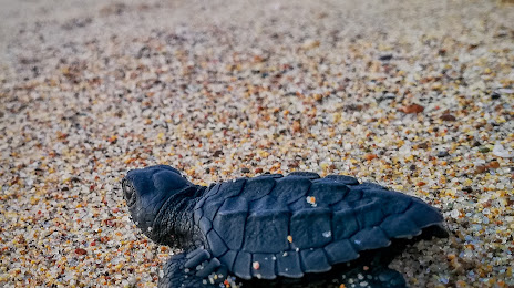
Camargo — The turtles
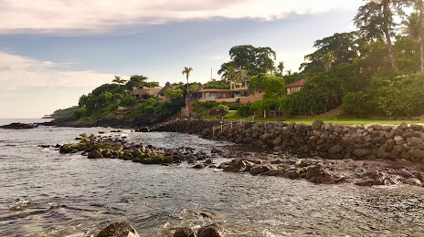
Camargo — Vista Hermosa
Camargo — Morcillo
Camargo — Suchiate
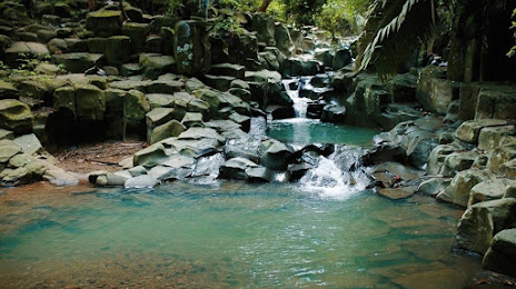
Camargo — Agua Blanca
Camargo — The Marques
Camargo — Degollado
Camargo — Cuencamé
Camargo — Ímuris
Camargo — Agua Zarca
Camargo — Balancán Municipality
Camargo — Zumpahuacán
Camargo — Tantoyuca
Camargo — Mexico City
Step
Bermejillo
Estación Noé
Transport
Lerdo
León Guzmán
Chocolate
Pedriceña
Guadalupe Victoria
Guadalupe Victoria
Veintisiete de Noviembre
Durango
El Salto
Pueblo Nuevo
Zapote
La Petaca
Copala
Concordia
Villa Unión
El Huajote
El Rosario
Reform
La Concha
Tecuala
Rosamorada
Paso Real del Bejuco
Ruiz
El Capomal
Yago Station
La Guinea
Guayabitos
Tepic
Xalisco
Camargo — The Aguajito
Camargo — Maní
Camargo — Palo Alto
Camargo — Santiago de Querétaro
Camargo — Punta Abreojos
Camargo — The turtles
Camargo — Vista Hermosa
Camargo — Morcillo
Camargo — Suchiate
Camargo — Agua Blanca
Camargo — The Marques
Camargo — Degollado
Camargo — Cuencamé
Camargo — Ímuris
Camargo — Agua Zarca
Camargo — Balancán Municipality
Camargo — Zumpahuacán
Camargo — Tantoyuca
Camargo — Mexico City
Step
Bermejillo
Estación Noé
Transport
Lerdo
León Guzmán
Chocolate
Pedriceña
Guadalupe Victoria
Guadalupe Victoria
Veintisiete de Noviembre
Durango
El Salto
Pueblo Nuevo
Zapote
La Petaca
Copala
Concordia
Villa Unión
El Huajote
El Rosario
Reform
La Concha
Tecuala
Rosamorada
Paso Real del Bejuco
Ruiz
El Capomal
Yago Station
La Guinea
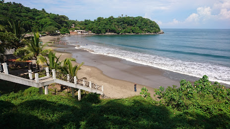
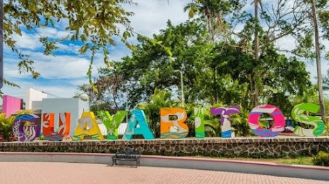
Guayabitos
Tepic
Xalisco
Camargo — Compostela distance, route on the map
Distance by car
Distance between Camargo, Chihuahua, Mexico and Compostela, Nayarit, Mexico by car is — km, or miles. To travel this distance by car, you need minute, or h.
Route on the map, driving directions
Car route Camargo — Compostela was created automatically. The road on the map is shown as a blue line. By moving the markers, you can create a new route through the points you need.
Passing cities through which the car route passes: Ciudad Jiménez, Step, Bermejillo, Estación Noé, Transport, Lerdo, León Guzmán, Chocolate, Pedriceña, Guadalupe Victoria, Guadalupe Victoria, Veintisiete de Noviembre, Durango, El Salto, Pueblo Nuevo, Zapote, La Petaca, Copala, Concordia, Villa Unión, El Huajote, El Rosario, Reform, La Concha, Tecuala, Rosamorada, Paso Real del Bejuco, Ruiz, El Capomal, Yago Station, La Guinea, Guayabitos, Tepic, Xalisco.
Distance by plane
If you decide to take a trip Camargo Compostela by plane, then you have to fly the distance — 717 km or 445 miles. It is marked on the map with a gray line (between two points in a straight line).
Flight time
Estimated flight time Camargo Compostela by plane at cruising speed 750 km / h will be — 57 min.
Direction of movement
Mexico, Camargo — right-hand traffic. Mexico, Compostela — right-hand traffic.
Difference in time
Camargo and Compostela are in the same time zone. Between them there is no time difference (UTC -7 America/Mazatlan).
Interesting Facts
Information on alternative ways to get to your destination.
The length of this distance is about 1.8% of the total length of the equator.
The percentage of the population is clearly shown in the graph:
Camargo — 37,745, Compostela — 16,162 residents (less by 21,583).
The cost of travel
Calculate the cost of the trip yourself using the fuel consumption calculator, changing the data in the table.