Cabo San Lucas — Texistepec
Cabo San Lucas — Vado Hondo
Cabo San Lucas — Paraíso
Cabo San Lucas — Pedriceña
Cabo San Lucas — Santa María del Río
Cabo San Lucas — Huejutla de Reyes
Cabo San Lucas — Ocampo
Cabo San Lucas — Marte R. Gómez
Cabo San Lucas — Villa Mariano Matamoros
Cabo San Lucas — Real del Monte
Cabo San Lucas — La Alberca
Cabo San Lucas — San Antonio Matute
Cabo San Lucas — San Sebastian
Cabo San Lucas — Las Esmeraldas
Cabo San Lucas — El Tajin
Cabo San Lucas — Rinconada
Cabo San Lucas — Puerto Vallarta
Cabo San Lucas — Loma Bonita
Cabo San Lucas — Acaxochitlán
Todos Santos
La Paz
Balandra
Real Calafia
La Paz
Topolobampo
Mochis International Airport
Los Mochis
Juan José Ríos
Adolfo Ruiz Cortines
Batamote
Cinco de Mayo
Guasave
Angostura
Colonia Independencia
Costa Rica
Isabelita
Loma
Ceuta
San Ignacio
Cabo San Lucas — Mazatlán distance, route on the map
Distance by car
Distance between Cabo San Lucas, Baja California Sur, Mexico and Mazatlán, Sinaloa, Mexico by car is — km, or miles. To travel this distance by car, you need minute, or h.
Route on the map, driving directions
Car route Cabo San Lucas — Mazatlán was created automatically. The road on the map is shown as a blue line. By moving the markers, you can create a new route through the points you need.
Passing cities through which the car route passes: Cabo San Lucas International Airport, Todos Santos, La Paz, Balandra, Real Calafia, La Paz, Topolobampo, Mochis International Airport, Los Mochis, Juan José Ríos, Adolfo Ruiz Cortines, Batamote, Cinco de Mayo, Guasave, Angostura, Colonia Independencia, Costa Rica, Isabelita, Loma, Ceuta, San Ignacio.
Distance by plane
If you decide to take a trip Cabo San Lucas Mazatlán by plane, then you have to fly the distance — 361 km or 224 miles. It is marked on the map with a gray line (between two points in a straight line).
Flight time
Estimated flight time Cabo San Lucas Mazatlán by plane at cruising speed 750 km / h will be — 28 min.
Direction of movement
Mexico, Cabo San Lucas — right-hand traffic. Mexico, Mazatlán — right-hand traffic.
Difference in time
Cabo San Lucas and Mazatlán are in the same time zone. Between them there is no time difference (UTC -7 America/Mazatlan).
Interesting Facts
Information on alternative ways to get to your destination.
The length of this distance is about 0.9% of the total length of the equator.
The percentage of the population is clearly shown in the graph:
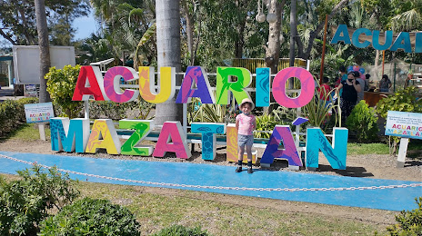
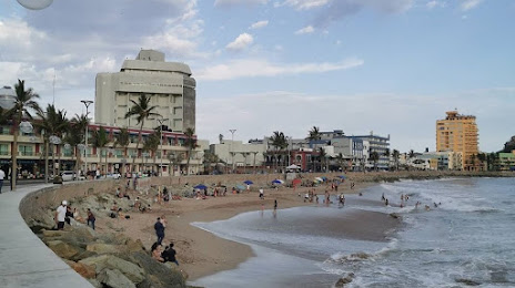
Cabo San Lucas — 42,601 (less by 312,129), Mazatlán — 354,730 residents.
The cost of travel
Calculate the cost of the trip yourself using the fuel consumption calculator, changing the data in the table.